Estimated Value: $155,247 - $309,000
3
Beds
1
Bath
1,933
Sq Ft
$121/Sq Ft
Est. Value
About This Home
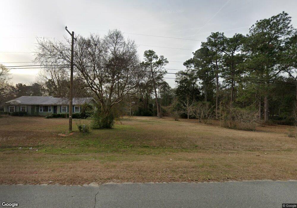
This home is located at 4844 Us Highway 84 E, Cairo, GA 39828 and is currently estimated at $234,562, approximately $121 per square foot. 4844 Us Highway 84 E is a home located in Grady County.
Ownership History
Date
Name
Owned For
Owner Type
Purchase Details
Closed on
Jul 10, 2024
Sold by
Benton Mellanie V
Bought by
Woods Jarrett Emory
Current Estimated Value
Purchase Details
Closed on
Apr 3, 2007
Sold by
Flint Community Bank
Bought by
Stringer Linda L
Purchase Details
Closed on
Mar 15, 2006
Sold by
Stringer Linda G
Bought by
Stringer Linda G
Purchase Details
Closed on
Sep 27, 2005
Sold by
Stringer J Fred
Bought by
Stringer Linda G
Purchase Details
Closed on
Sep 19, 1961
Bought by
Stringer J Fred
Create a Home Valuation Report for This Property
The Home Valuation Report is an in-depth analysis detailing your home's value as well as a comparison with similar homes in the area
Home Values in the Area
Average Home Value in this Area
Purchase History
| Date | Buyer | Sale Price | Title Company |
|---|---|---|---|
| Woods Jarrett Emory | -- | -- | |
| Benton Mellanie V | -- | -- | |
| Stringer Linda L | -- | -- | |
| Stringer Linda G | -- | -- | |
| Stringer Linda G | -- | -- | |
| Stringer J Fred | -- | -- |
Source: Public Records
Tax History Compared to Growth
Tax History
| Year | Tax Paid | Tax Assessment Tax Assessment Total Assessment is a certain percentage of the fair market value that is determined by local assessors to be the total taxable value of land and additions on the property. | Land | Improvement |
|---|---|---|---|---|
| 2024 | $1,330 | $45,226 | $2,305 | $42,921 |
| 2023 | $1,258 | $42,867 | $4,241 | $38,626 |
| 2022 | $1,258 | $42,867 | $4,241 | $38,626 |
| 2021 | $1,262 | $42,867 | $4,241 | $38,626 |
| 2020 | $1,266 | $42,867 | $4,241 | $38,626 |
| 2019 | $1,266 | $42,867 | $4,241 | $38,626 |
| 2018 | $1,189 | $42,867 | $4,241 | $38,626 |
| 2017 | $1,132 | $42,867 | $4,241 | $38,626 |
| 2016 | $971 | $36,848 | $4,241 | $32,607 |
| 2015 | $957 | $36,848 | $4,241 | $32,607 |
| 2014 | -- | $36,848 | $4,241 | $32,607 |
| 2013 | -- | $39,806 | $9,000 | $30,806 |
Source: Public Records
Map
Nearby Homes
- 88 Ruby Ln
- 161 Evergreen Ln
- 144 Mount Nebo Ln
- 4164 U S 84 Unit Lot Q
- 142 Naomi Ln
- 1457 Stewart Rd
- 163 U S 84
- 2427 Pierce Chapel Rd
- 3109 U S 84
- 3109 U S 84
- 00 #10 Oak Bend Circle 4 38 Acres
- 3136 State Route 188
- 0 NE Airport Rd Unit 145784
- 78.6 Ac Strickland Rd
- 2600 U S 84
- 1210 Elkins Rd
- 21 24th St NE
- 123 Bloomfield Dr
- 117 Bloomfield Dr
- 113 Bloomfield Dr
- 4854 Us Highway 84 E
- 1268 Moore Rd
- 1231 Moore Rd
- 4915 Us Highway 84 E
- 4708 Us Highway 84 E
- 5000 E 84 Hwy E
- 5067 U S 84
- 5064 Us Highway 84 W
- 4192 Pine Park Rd
- 00 Bold Springs Road (Lot 7) Unit 7
- 00 Bold Springs Road (Lot 10) Unit 10
- 00 Bold Springs Road (Lot 8) Unit 8
- 00 Bold Springs Road (Lot 11) Unit 11
- 00 Bold Springs Road (Lot 4) Unit 4
- 00 Bold Springs Road (Lot 5) Unit 5
- 374 Opal Ln
- 996 Moore Rd
- 4173 Pine Park Rd
- 171 Bold Springs Rd
- 930 Moore Rd