485 Rockview Dr Springfield, OH 45504
Cedar Hills/Broadview NeighborhoodEstimated Value: $405,000 - $535,151
4
Beds
4
Baths
3,258
Sq Ft
$148/Sq Ft
Est. Value
About This Home
This home is located at 485 Rockview Dr, Springfield, OH 45504 and is currently estimated at $482,538, approximately $148 per square foot. 485 Rockview Dr is a home with nearby schools including Possum Elementary School, Shawnee Middle School/High School, and Cliff Park High School.
Ownership History
Date
Name
Owned For
Owner Type
Purchase Details
Closed on
Jun 10, 2015
Sold by
White Joseph W and White Melissa L
Bought by
White Melissa L
Current Estimated Value
Home Financials for this Owner
Home Financials are based on the most recent Mortgage that was taken out on this home.
Original Mortgage
$380,000
Interest Rate
3.82%
Mortgage Type
New Conventional
Purchase Details
Closed on
Jan 6, 2006
Sold by
Parmley David S and Parmley Kimberly R
Bought by
White Joseph W and White Melissa L
Home Financials for this Owner
Home Financials are based on the most recent Mortgage that was taken out on this home.
Original Mortgage
$69,000
Interest Rate
6.34%
Mortgage Type
Purchase Money Mortgage
Create a Home Valuation Report for This Property
The Home Valuation Report is an in-depth analysis detailing your home's value as well as a comparison with similar homes in the area
Home Values in the Area
Average Home Value in this Area
Purchase History
| Date | Buyer | Sale Price | Title Company |
|---|---|---|---|
| White Melissa L | -- | Attorney | |
| White Joseph W | $69,000 | None Available |
Source: Public Records
Mortgage History
| Date | Status | Borrower | Loan Amount |
|---|---|---|---|
| Closed | White Melissa L | $380,000 | |
| Closed | White Joseph W | $69,000 |
Source: Public Records
Tax History
| Year | Tax Paid | Tax Assessment Tax Assessment Total Assessment is a certain percentage of the fair market value that is determined by local assessors to be the total taxable value of land and additions on the property. | Land | Improvement |
|---|---|---|---|---|
| 2025 | $6,776 | $188,230 | $30,290 | $157,940 |
| 2024 | $6,600 | $135,090 | $24,830 | $110,260 |
| 2023 | $6,600 | $135,090 | $24,830 | $110,260 |
| 2022 | $6,546 | $135,090 | $24,830 | $110,260 |
| 2021 | $6,033 | $111,480 | $18,810 | $92,670 |
| 2020 | $6,083 | $111,480 | $18,810 | $92,670 |
| 2019 | $6,179 | $111,480 | $18,810 | $92,670 |
| 2018 | $6,307 | $112,250 | $18,810 | $93,440 |
| 2017 | $6,464 | $114,402 | $18,813 | $95,589 |
| 2016 | $5,831 | $114,402 | $18,813 | $95,589 |
| 2015 | $6,563 | $114,402 | $18,813 | $95,589 |
| 2014 | $6,581 | $114,402 | $18,813 | $95,589 |
| 2013 | $5,738 | $114,402 | $18,813 | $95,589 |
Source: Public Records
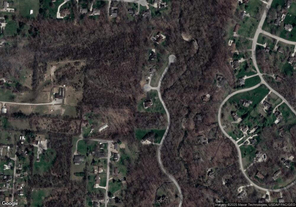
Map
Nearby Homes
- 3891 New Carlisle Pike
- 624 Aberfelda Dr
- 124 Old Mill Rd
- 190 Oakridge Dr
- 4461 New Carlisle Pike
- 2805 Cottonwood Dr
- 361 Upper Valley Pike
- 917 White Oak Dr
- 2743 Ironwood Dr
- 0 Upper Valley Pike
- 925 Upper Valley Pike
- 4638 W National Rd
- 3319 Wendover St
- 1290 Red Oaks Cir
- 128 Ravenwood Dr
- 3183 Lower Valley Pike
- 195 N Tecumseh Rd
- 106 Walter St
- 110 Walter St
- 3305 Turner Dr E
- 471 Rockview Dr
- 497 Rockview Dr
- 461 Rockview Dr
- 509 Rockview Dr
- 446 Woodview Dr
- 430 Leander Dr
- 440 Leander Dr
- 434 Woodview Dr
- 420 Leander Dr
- 513 Rockview Dr
- 452 Woodview Dr
- 445 Woodview Dr
- 439 Woodview Dr
- 410 Leander Dr
- 422 Woodview Dr
- 450 Leander Dr
- 423 Woodview Dr
- 435 Leander Dr
- 415 Woodview Dr
- 3715 E Eva Cir
Your Personal Tour Guide
Ask me questions while you tour the home.