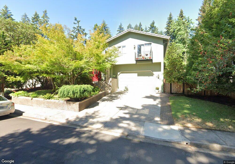
487 E 53rd Ave Eugene, OR 97405
Southeast Eugene NeighborhoodEstimated Value: $548,535 - $654,000
3
Beds
3
Baths
2,076
Sq Ft
$292/Sq Ft
Est. Value
About This Home
This home is located at 487 E 53rd Ave, Eugene, OR 97405 and is currently estimated at $605,884, approximately $291 per square foot. 487 E 53rd Ave is a home located in Lane County with nearby schools including Edgewood Community Elementary School, Spencer Butte Middle School, and South Eugene High School.
Ownership History
Date
Name
Owned For
Owner Type
Purchase Details
Closed on
Apr 19, 2004
Sold by
Diseth Anita J and Diseth Glen S
Bought by
James Angus L and James Deborah J
Current Estimated Value
Home Financials for this Owner
Home Financials are based on the most recent Mortgage that was taken out on this home.
Original Mortgage
$205,900
Outstanding Balance
$94,338
Interest Rate
5.39%
Mortgage Type
Purchase Money Mortgage
Estimated Equity
$511,546
Create a Home Valuation Report for This Property
The Home Valuation Report is an in-depth analysis detailing your home's value as well as a comparison with similar homes in the area
Home Values in the Area
Average Home Value in this Area
Purchase History
| Date | Buyer | Sale Price | Title Company |
|---|---|---|---|
| James Angus L | $268,900 | Fidelity National Title Ins |
Source: Public Records
Mortgage History
| Date | Status | Borrower | Loan Amount |
|---|---|---|---|
| Open | James Angus L | $205,900 |
Source: Public Records
Tax History
| Year | Tax Paid | Tax Assessment Tax Assessment Total Assessment is a certain percentage of the fair market value that is determined by local assessors to be the total taxable value of land and additions on the property. | Land | Improvement |
|---|---|---|---|---|
| 2025 | $6,716 | $344,697 | -- | -- |
| 2024 | $6,632 | $334,658 | -- | -- |
| 2023 | $6,632 | $324,911 | $0 | $0 |
| 2022 | $6,213 | $315,448 | $0 | $0 |
| 2021 | $5,836 | $306,261 | $0 | $0 |
| 2020 | $5,831 | $297,341 | $0 | $0 |
| 2019 | $5,529 | $288,681 | $0 | $0 |
| 2018 | $5,187 | $272,110 | $0 | $0 |
| 2017 | $4,869 | $272,110 | $0 | $0 |
| 2016 | $4,655 | $264,184 | $0 | $0 |
| 2015 | $4,530 | $256,489 | $0 | $0 |
| 2014 | $4,462 | $249,018 | $0 | $0 |
Source: Public Records
Map
Nearby Homes
- 4845 Brookwood St
- 4734 Brookwood St
- 296 Woodridge Dr
- 4680 W Hillside Dr
- 202 Foxtail Dr
- 892 Sprague St
- 395 E 46th Ave
- 4425 Hilyard St
- 4733 E Amazon Dr
- 126 Treehill Loop Unit 126
- 36 Westbrook Way
- 4429 Fox Hollow Rd Unit 3
- 4295 Ferry St
- 21 Westbrook Way
- 143 Treehill Loop Unit 143
- 17 Westbrook Way
- 152 Treehill Loop Unit 152
- 151 Treehill Loop Unit 151
- 278 Rockridge Ct
- 4364 Fox Hollow Rd
- 491 E 53rd Ave
- 483 E 53rd Ave
- 5215 Miramar St
- 479 E 53rd Ave
- 488 E 53rd Ave
- 5225 Miramar St
- 490 E 53rd Ave
- 482 E 53rd Ave
- 492 E 53rd Ave
- 480 E 53rd Ave
- 0 Miramar St Unit 8 9062174
- 0 Miramar St Unit 2 9062168
- 0 Miramar St Unit 1 9062166
- 0 Miramar St Unit 1 11302174
- 0 Miramar St Unit 2 11251108
- 0 Miramar St Unit LOT 2 11479596
- 0 Miramar St Unit LOT 1 11043765
- 0 Miramar St Unit 2 13537000
- 0 Miramar St Unit 1
- 478 E 53rd Ave
Your Personal Tour Guide
Ask me questions while you tour the home.