Estimated Value: $354,000 - $376,000
2
Beds
2
Baths
1,368
Sq Ft
$266/Sq Ft
Est. Value
About This Home
This home is located at 49 Fords Landing Dr, Dover, NH 03820 and is currently estimated at $363,752, approximately $265 per square foot. 49 Fords Landing Dr is a home located in Strafford County with nearby schools including Garrison School, Dover Middle School, and Dover Senior High School.
Ownership History
Date
Name
Owned For
Owner Type
Purchase Details
Closed on
Feb 14, 2020
Sold by
Martin Cynthia J
Bought by
Bickford Dana J
Current Estimated Value
Home Financials for this Owner
Home Financials are based on the most recent Mortgage that was taken out on this home.
Original Mortgage
$167,200
Outstanding Balance
$148,380
Interest Rate
3.72%
Mortgage Type
Purchase Money Mortgage
Estimated Equity
$215,372
Create a Home Valuation Report for This Property
The Home Valuation Report is an in-depth analysis detailing your home's value as well as a comparison with similar homes in the area
Home Values in the Area
Average Home Value in this Area
Purchase History
| Date | Buyer | Sale Price | Title Company |
|---|---|---|---|
| Bickford Dana J | $176,000 | None Available |
Source: Public Records
Mortgage History
| Date | Status | Borrower | Loan Amount |
|---|---|---|---|
| Open | Bickford Dana J | $167,200 |
Source: Public Records
Tax History Compared to Growth
Tax History
| Year | Tax Paid | Tax Assessment Tax Assessment Total Assessment is a certain percentage of the fair market value that is determined by local assessors to be the total taxable value of land and additions on the property. | Land | Improvement |
|---|---|---|---|---|
| 2024 | $5,882 | $323,700 | $64,000 | $259,700 |
| 2023 | $5,197 | $277,900 | $50,000 | $227,900 |
| 2022 | $4,829 | $243,400 | $35,000 | $208,400 |
| 2021 | $4,600 | $212,000 | $31,000 | $181,000 |
| 2020 | $4,776 | $192,200 | $42,000 | $150,200 |
| 2019 | $4,313 | $171,200 | $24,000 | $147,200 |
| 2018 | $4,114 | $165,100 | $16,000 | $149,100 |
| 2017 | $4,261 | $164,700 | $20,000 | $144,700 |
| 2016 | $4,085 | $155,400 | $18,000 | $137,400 |
| 2015 | $3,781 | $142,100 | $8,000 | $134,100 |
| 2014 | $3,683 | $141,600 | $7,500 | $134,100 |
| 2011 | $3,934 | $156,600 | $30,000 | $126,600 |
Source: Public Records
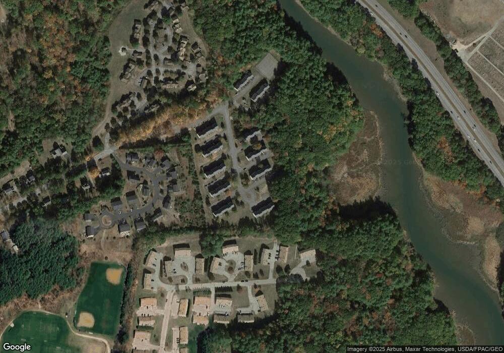
Map
Nearby Homes
- 55 Fords Landing Dr
- 25 Dover Point Rd
- 15 Dover Point Rd
- 142 Katie Ln
- 52 Katie Ln
- 44 Northfield Dr
- 21 Artisan Way
- 16 Red Barn Dr
- 18 Middlebrook Rd
- 38 Mast Rd
- 65 Pointe Place Unit 106
- 51 Constitution Way
- 55 Pointe Place Unit 204
- 55 Pointe Place Unit 207
- 55 Pointe Place Unit 108
- 55 Pointe Place Unit 306
- 55 Pointe Place Unit 202
- 55 Pointe Place Unit 304
- 55 Pointe Place Unit 206
- 4 Madelyn Dr
- 6 Fords Landing Dr Unit End Unit
- 64 Fords Landing Dr Unit 64
- 8 Fords Landing Dr
- 7 Fords Landing Dr
- 65 Fords Landing Dr
- 64 Fords Landing Dr
- 63 Fords Landing Dr
- 62 Fords Landing Dr
- 61 Fords Landing Dr
- 6 Fords Landing Dr
- 59 Fords Landing Dr
- 58 Fords Landing Dr
- 57 Fords Landing Dr
- 54 Fords Landing Dr
- 53 Fords Landing Dr
- 52 Fords Landing Dr
- 51 Fords Landing Dr
- 50 Fords Landing Dr
- 5 Fords Landing Dr
- 48 Fords Landing Dr