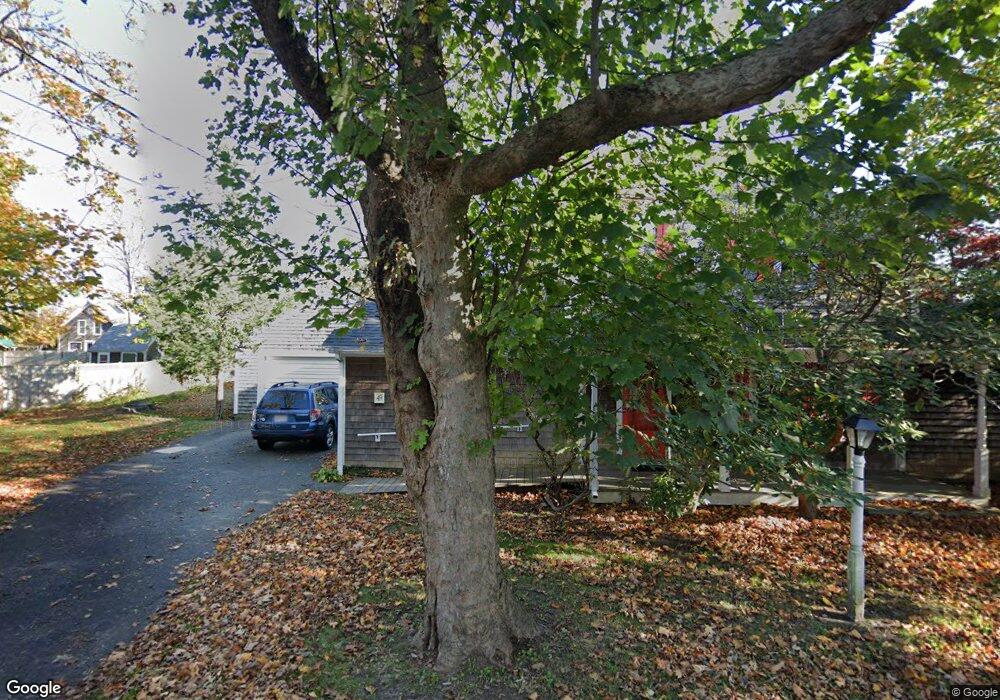
49 High St Edgartown, MA 02539
Edgartown NeighborhoodEstimated Value: $2,836,000 - $3,365,410
4
Beds
2
Baths
2,641
Sq Ft
$1,166/Sq Ft
Est. Value
About This Home
This home is located at 49 High St, Edgartown, MA 02539 and is currently estimated at $3,079,470, approximately $1,166 per square foot. 49 High St is a home with nearby schools including Edgartown Elementary School and Martha's Vineyard Regional High School.
Create a Home Valuation Report for This Property
The Home Valuation Report is an in-depth analysis detailing your home's value as well as a comparison with similar homes in the area
Home Values in the Area
Average Home Value in this Area
Tax History Compared to Growth
Tax History
| Year | Tax Paid | Tax Assessment Tax Assessment Total Assessment is a certain percentage of the fair market value that is determined by local assessors to be the total taxable value of land and additions on the property. | Land | Improvement |
|---|---|---|---|---|
| 2025 | $6,282 | $2,370,500 | $1,205,200 | $1,165,300 |
| 2024 | $5,889 | $2,309,500 | $1,205,200 | $1,104,300 |
| 2023 | $5,621 | $2,230,500 | $1,162,800 | $1,067,700 |
| 2022 | $5,550 | $1,831,800 | $1,147,800 | $684,000 |
| 2021 | $6,255 | $1,907,000 | $1,152,000 | $755,000 |
| 2020 | $6,388 | $1,907,000 | $1,152,000 | $755,000 |
| 2019 | $6,572 | $1,698,300 | $1,016,400 | $681,900 |
| 2018 | $6,489 | $1,676,700 | $1,016,400 | $660,300 |
| 2017 | $5,017 | $1,413,100 | $840,200 | $572,900 |
| 2016 | $5,115 | $1,413,100 | $840,200 | $572,900 |
| 2015 | $4,772 | $1,375,100 | $834,800 | $540,300 |
Source: Public Records
Map
Nearby Homes
- 11 Norton St
- 43 Peases Point Way S
- 69 School St
- 52 S Summer St
- 8 High St
- 10 Peases Point Way N
- 48 Edgartown - West Tisbury Rd
- 23 Pinehurst Rd
- 44 Plantingfield Way Unit 2
- 44 Plantingfield Way
- 38 Pinehurst Rd
- 76 Norton Orchard Rd
- 5 Louis Field Rd Unit 121.3
- 117 N Water St
- 10 Peases Point Rd
- 19 Kitts Field Cir
- 35 Mariners Way
- 10 Dory Cir
- 14 Trapps Pond Rd
- 10 Duende Ln