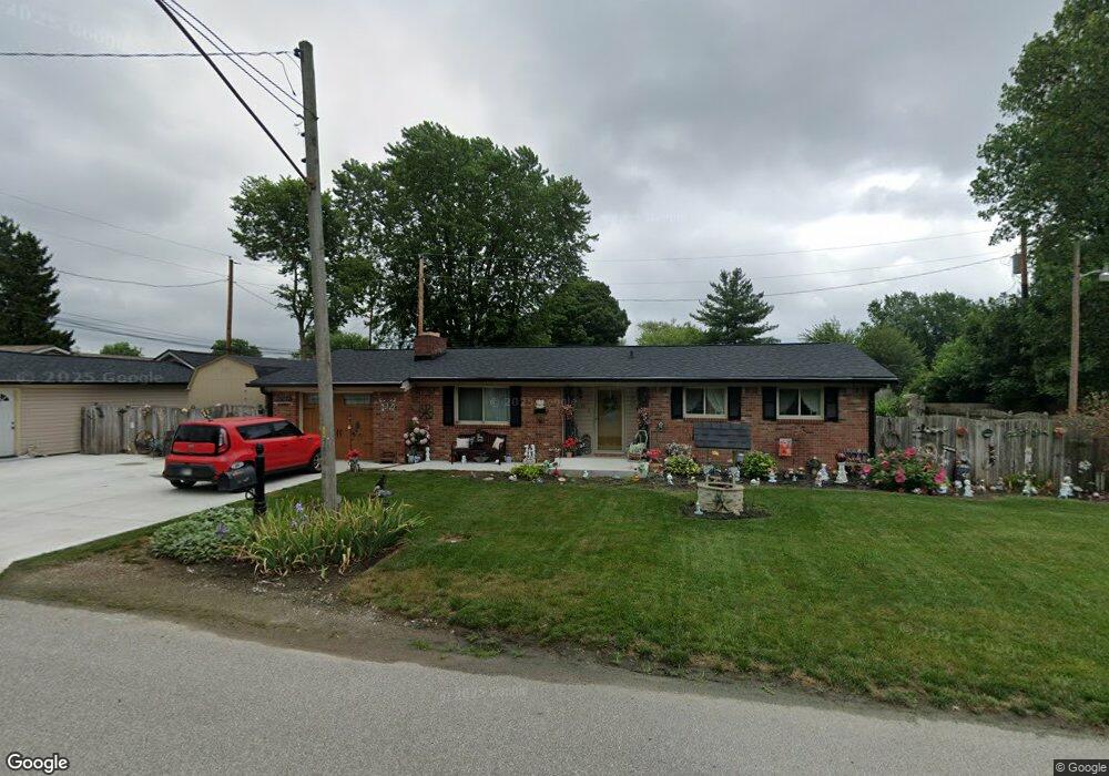
49 Hill St Whiteland, IN 46184
Estimated Value: $209,000 - $241,579
3
Beds
2
Baths
1,051
Sq Ft
$213/Sq Ft
Est. Value
About This Home
This home is located at 49 Hill St, Whiteland, IN 46184 and is currently estimated at $223,395, approximately $212 per square foot. 49 Hill St is a home located in Johnson County with nearby schools including Whiteland Elementary School, Clark-Pleasant Middle School, and Whiteland Community High School.
Ownership History
Date
Name
Owned For
Owner Type
Purchase Details
Closed on
May 5, 2021
Sold by
Werden Debra A
Bought by
Werden Debra A
Current Estimated Value
Purchase Details
Closed on
Nov 12, 2010
Sold by
Schaefer James E
Bought by
Olmsted Debra A
Home Financials for this Owner
Home Financials are based on the most recent Mortgage that was taken out on this home.
Original Mortgage
$76,022
Outstanding Balance
$50,107
Interest Rate
4.25%
Mortgage Type
FHA
Estimated Equity
$173,288
Purchase Details
Closed on
May 28, 2010
Sold by
Olmsted Debra A
Bought by
Schaefer James E
Home Financials for this Owner
Home Financials are based on the most recent Mortgage that was taken out on this home.
Original Mortgage
$66,109
Interest Rate
5.5%
Mortgage Type
FHA
Purchase Details
Closed on
Jan 5, 2008
Sold by
Olmsted Walter M
Bought by
Olmsted Debra A
Create a Home Valuation Report for This Property
The Home Valuation Report is an in-depth analysis detailing your home's value as well as a comparison with similar homes in the area
Home Values in the Area
Average Home Value in this Area
Purchase History
| Date | Buyer | Sale Price | Title Company |
|---|---|---|---|
| Werden Debra A | -- | Quality Title | |
| Olmsted Debra A | -- | None Available | |
| Schaefer James E | -- | None Available | |
| Olmsted Debra A | -- | None Available |
Source: Public Records
Mortgage History
| Date | Status | Borrower | Loan Amount |
|---|---|---|---|
| Open | Olmsted Debra A | $76,022 | |
| Previous Owner | Schaefer James E | $66,109 |
Source: Public Records
Tax History Compared to Growth
Tax History
| Year | Tax Paid | Tax Assessment Tax Assessment Total Assessment is a certain percentage of the fair market value that is determined by local assessors to be the total taxable value of land and additions on the property. | Land | Improvement |
|---|---|---|---|---|
| 2025 | $1,781 | $221,600 | $42,000 | $179,600 |
| 2024 | $1,781 | $179,900 | $42,000 | $137,900 |
| 2023 | $1,856 | $172,900 | $42,000 | $130,900 |
| 2022 | $1,944 | $170,400 | $35,000 | $135,400 |
| 2021 | $1,658 | $150,900 | $35,000 | $115,900 |
| 2020 | $1,197 | $115,700 | $24,100 | $91,600 |
| 2019 | $1,132 | $110,000 | $18,300 | $91,700 |
| 2018 | $1,222 | $109,600 | $15,500 | $94,100 |
| 2017 | $1,256 | $114,500 | $15,500 | $99,000 |
| 2016 | $1,035 | $103,300 | $15,500 | $87,800 |
| 2014 | $981 | $93,200 | $15,300 | $77,900 |
| 2013 | $981 | $95,600 | $15,300 | $80,300 |
Source: Public Records
Map
Nearby Homes
- 10 Thurman Dr
- 400 S U S Highway 31
- 229 Arlington St
- 657 Whiteland Rd
- 545 Whiteland Rd
- 409 Parkway St
- 389 Parkway St
- 79 Gnarled Oak Ln
- Aruba Bay Plan at Briar Creek - Ranches
- Grand Bahama Plan at Briar Creek - Ranches
- Dominica Spring Plan at Briar Creek - Ranches
- Grand Cayman Plan at Briar Creek - Ranches
- Hudson with 3-Car Garage Plan at Briar Creek - Estates
- Columbia with 3-Car Garage Plan at Briar Creek - Estates
- 213 Mcnair Rd
- Lehigh with 3-Car Garage Plan at Briar Creek - Estates
- 320 Briar Hill Dr
- 241 Mooreland Dr
- 338 Mcnair Rd
- 62 Wild Turkey Run