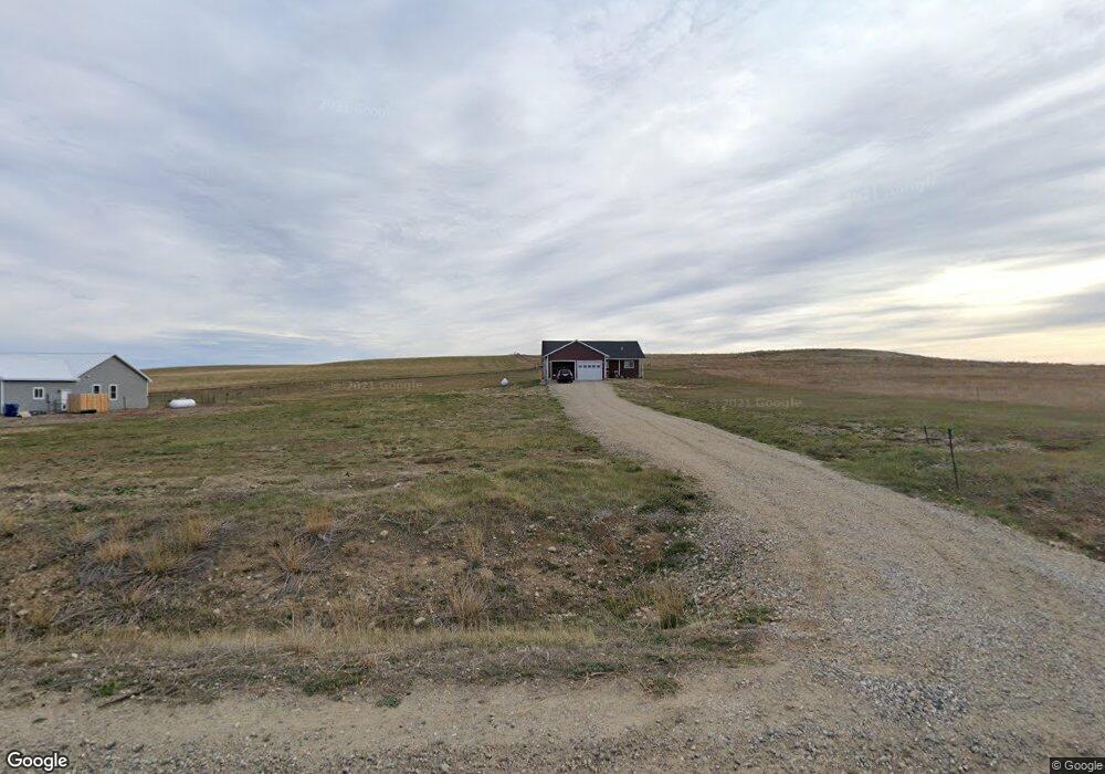
49 Laptop Loop Roberts, MT 59070
Estimated Value: $403,000 - $490,000
3
Beds
2
Baths
1,550
Sq Ft
$285/Sq Ft
Est. Value
About This Home
This home is located at 49 Laptop Loop, Roberts, MT 59070 and is currently estimated at $442,361, approximately $285 per square foot. 49 Laptop Loop is a home located in Carbon County with nearby schools including Roberts School.
Ownership History
Date
Name
Owned For
Owner Type
Purchase Details
Closed on
Sep 20, 2019
Sold by
Dot Calm Ranches Sub Llc
Bought by
Huether Paul
Current Estimated Value
Home Financials for this Owner
Home Financials are based on the most recent Mortgage that was taken out on this home.
Original Mortgage
$240,435
Outstanding Balance
$210,168
Interest Rate
3.5%
Mortgage Type
FHA
Estimated Equity
$232,193
Purchase Details
Closed on
Apr 27, 2018
Bought by
Dot Calm Ranches Subdivision Llc
Create a Home Valuation Report for This Property
The Home Valuation Report is an in-depth analysis detailing your home's value as well as a comparison with similar homes in the area
Purchase History
| Date | Buyer | Sale Price | Title Company |
|---|---|---|---|
| Huether Paul | $242,839 | First American Title | |
| Dot Calm Ranches Subdivision Llc | -- | -- |
Source: Public Records
Mortgage History
| Date | Status | Borrower | Loan Amount |
|---|---|---|---|
| Open | Huether Paul | $240,435 |
Source: Public Records
Tax History
| Year | Tax Paid | Tax Assessment Tax Assessment Total Assessment is a certain percentage of the fair market value that is determined by local assessors to be the total taxable value of land and additions on the property. | Land | Improvement |
|---|---|---|---|---|
| 2025 | $1,403 | $425,500 | $0 | $0 |
| 2024 | $1,914 | $349,100 | $0 | $0 |
| 2023 | $1,937 | $349,100 | $0 | $0 |
| 2022 | $1,542 | $242,200 | $0 | $0 |
| 2021 | $1,657 | $242,200 | $0 | $0 |
| 2020 | $1,619 | $225,900 | $0 | $0 |
| 2019 | $2,362 | $18,683 | $0 | $0 |
| 2018 | $781 | $14,199 | $0 | $0 |
| 2017 | $804 | $14,199 | $0 | $0 |
| 2016 | $1,145 | $17,513 | $0 | $0 |
| 2015 | $117 | $17,513 | $0 | $0 |
| 2014 | $317 | $26,310 | $0 | $0 |
Source: Public Records
Map
Nearby Homes
- 5 Cursor Cir
- 13 Wireless Way
- 166 Laptop Loop
- 0 Laptop Loop
- 27 Laptop Loop
- TBD Laptop Loop
- 7 Internet Access
- 120 Cooney Rd
- OOO Maple St
- 101 S 2nd St
- 123 Maki Johnson Rd
- 40 Acres Maki Johnson Rd
- 4 Stormitt Butte Rd
- 89 Wild Rose Trail
- 50 Big Sky Ln
- 45 Buttercup Dr
- 38 Buttercup Dr
- 48 Buttercup Dr
- 00 Paintbrush Trail
- 20 Rosebud View
Your Personal Tour Guide
Ask me questions while you tour the home.