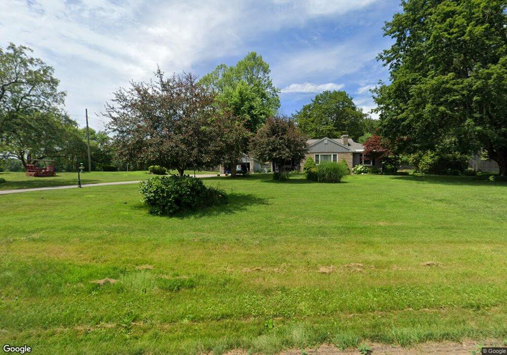
49 W Gill Rd Gill, MA 01354
Gill NeighborhoodEstimated Value: $371,134 - $407,000
3
Beds
1
Bath
1,470
Sq Ft
$266/Sq Ft
Est. Value
About This Home
This home is located at 49 W Gill Rd, Gill, MA 01354 and is currently estimated at $391,284, approximately $266 per square foot. 49 W Gill Rd is a home located in Franklin County with nearby schools including Holy Trinity School, Four Winds School, and Stoneleigh-Burnham School.
Ownership History
Date
Name
Owned For
Owner Type
Purchase Details
Closed on
Sep 26, 2000
Sold by
Bagdon Julia
Bought by
Letourneau Paul R and Letourneau Dolores A
Current Estimated Value
Home Financials for this Owner
Home Financials are based on the most recent Mortgage that was taken out on this home.
Original Mortgage
$133,000
Outstanding Balance
$48,781
Interest Rate
8%
Mortgage Type
Purchase Money Mortgage
Estimated Equity
$342,503
Create a Home Valuation Report for This Property
The Home Valuation Report is an in-depth analysis detailing your home's value as well as a comparison with similar homes in the area
Home Values in the Area
Average Home Value in this Area
Purchase History
| Date | Buyer | Sale Price | Title Company |
|---|---|---|---|
| Letourneau Paul R | $140,000 | -- |
Source: Public Records
Mortgage History
| Date | Status | Borrower | Loan Amount |
|---|---|---|---|
| Open | Letourneau Paul R | $133,000 |
Source: Public Records
Tax History Compared to Growth
Tax History
| Year | Tax Paid | Tax Assessment Tax Assessment Total Assessment is a certain percentage of the fair market value that is determined by local assessors to be the total taxable value of land and additions on the property. | Land | Improvement |
|---|---|---|---|---|
| 2025 | $4,297 | $293,100 | $94,100 | $199,000 |
| 2024 | $4,127 | $266,600 | $89,200 | $177,400 |
| 2023 | $3,872 | $236,200 | $81,100 | $155,100 |
| 2022 | $3,872 | $232,400 | $77,300 | $155,100 |
| 2021 | $3,837 | $221,900 | $77,300 | $144,600 |
| 2020 | $3,635 | $210,700 | $73,600 | $137,100 |
| 2019 | $3,419 | $198,100 | $70,100 | $128,000 |
| 2018 | $3,300 | $192,100 | $70,100 | $122,000 |
| 2017 | $3,185 | $192,100 | $70,100 | $122,000 |
| 2016 | $3,188 | $189,200 | $75,100 | $114,100 |
| 2015 | $3,137 | $186,200 | $75,100 | $111,100 |
Source: Public Records
Map
Nearby Homes
- 001 Adams Rd
- 182 Main Rd
- 31 Lovers Ln
- 30 Park St
- 21 Hillside Ave
- 0 Millers Falls Rd Unit 73034825
- 696 Bernardston Rd
- 45 Millers Falls Rd
- 72 Meadowood Dr
- 79 Burnham Rd
- 2 Alice St
- 89 Montague St
- 114 Montague St
- 183 Millers Falls Rd
- 202 Turnpike Rd
- 47 Cross St
- 34 Brookside Ave
- 335 Federal St
- 83 Eden Trail Branch
- 35-37 Shattuck St