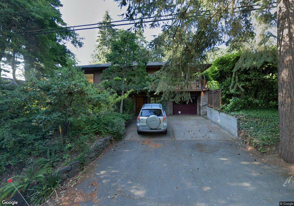
490 W 29th Ave Eugene, OR 97405
Crest Drive NeighborhoodEstimated Value: $680,000 - $837,000
4
Beds
3
Baths
2,184
Sq Ft
$356/Sq Ft
Est. Value
About This Home
This home is located at 490 W 29th Ave, Eugene, OR 97405 and is currently estimated at $776,527, approximately $355 per square foot. 490 W 29th Ave is a home located in Lane County with nearby schools including Adams Elementary School, Roosevelt Middle School, and South Eugene High School.
Ownership History
Date
Name
Owned For
Owner Type
Purchase Details
Closed on
Dec 13, 1999
Sold by
Goodman David E
Bought by
Christensen Ann E
Current Estimated Value
Create a Home Valuation Report for This Property
The Home Valuation Report is an in-depth analysis detailing your home's value as well as a comparison with similar homes in the area
Home Values in the Area
Average Home Value in this Area
Purchase History
| Date | Buyer | Sale Price | Title Company |
|---|---|---|---|
| Christensen Ann E | -- | -- |
Source: Public Records
Tax History
| Year | Tax Paid | Tax Assessment Tax Assessment Total Assessment is a certain percentage of the fair market value that is determined by local assessors to be the total taxable value of land and additions on the property. | Land | Improvement |
|---|---|---|---|---|
| 2025 | $7,408 | $380,214 | -- | -- |
| 2024 | $7,316 | $369,140 | -- | -- |
| 2023 | $7,316 | $358,389 | -- | -- |
| 2022 | $6,854 | $347,951 | $0 | $0 |
| 2021 | $6,437 | $337,817 | $0 | $0 |
| 2020 | $6,460 | $327,978 | $0 | $0 |
| 2019 | $6,239 | $318,426 | $0 | $0 |
| 2018 | $5,873 | $300,148 | $0 | $0 |
| 2017 | $5,610 | $300,148 | $0 | $0 |
| 2016 | $5,471 | $291,406 | $0 | $0 |
| 2015 | $5,314 | $282,918 | $0 | $0 |
| 2014 | $5,206 | $274,678 | $0 | $0 |
Source: Public Records
Map
Nearby Homes
- 2747 Friendly Aly
- 1 Storey Blvd
- 2 Storey Blvd
- 0 Hidden Meadows
- 3160 Whitten Dr
- 605 Fulvue Dr
- 357 W 37th Ave
- 275 W 37th Ave
- 2765 Almaden St
- 0 Monroe St Unit 343774498
- 2427 Polk St
- 2140 Monroe St
- 2096 Charnelton St
- 478 E 32nd Ave
- 3854 Monroe St
- 3820 Watkins Ln
- 3023 Hummingbird Ln
- 3031 Hummingbird Ln
- 660 E 32nd Ave
- 3615 Donald St
- 486 W 29th Ave
- 2908 Washington St
- 478 W 29th Ave
- 2920 Washington St
- 570 W 29th Ave
- 2922 Washington St
- 474 W 29th Ave
- 589 W 29th Ave
- 2930 Washington St
- 456 W 29th Ave
- 462 W 29th Ave
- 590 W 29th Ave
- 2940 Washington St
- 2919 Jefferson St
- 2850 Washington St
- 2848 Washington St
- 2927 Jefferson St
- 485 W 29th Ave
- 450 W 29th Ave
- 2965 Washington St
