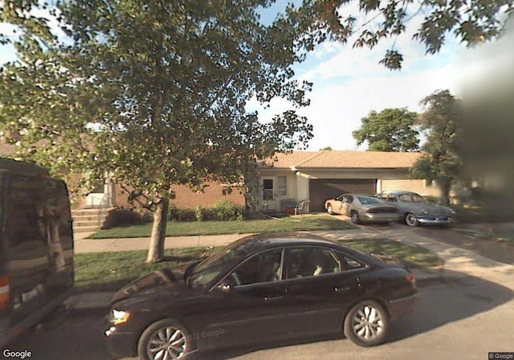
4901 N Melvina Ave Chicago, IL 60630
Jefferson Park NeighborhoodEstimated Value: $405,000 - $452,000
3
Beds
1
Bath
1,118
Sq Ft
$380/Sq Ft
Est. Value
About This Home
This home is located at 4901 N Melvina Ave, Chicago, IL 60630 and is currently estimated at $425,128, approximately $380 per square foot. 4901 N Melvina Ave is a home located in Cook County with nearby schools including Garvy J Elementary School, Taft High School, and St. Constance School.
Ownership History
Date
Name
Owned For
Owner Type
Purchase Details
Closed on
Mar 15, 2005
Sold by
Pierson Robert W
Bought by
Lasalle Bank Na and Trust #35191
Current Estimated Value
Purchase Details
Closed on
Oct 21, 2002
Sold by
Giesinger Michael
Bought by
Pierson Robert W
Home Financials for this Owner
Home Financials are based on the most recent Mortgage that was taken out on this home.
Original Mortgage
$192,000
Interest Rate
6.1%
Create a Home Valuation Report for This Property
The Home Valuation Report is an in-depth analysis detailing your home's value as well as a comparison with similar homes in the area
Home Values in the Area
Average Home Value in this Area
Purchase History
| Date | Buyer | Sale Price | Title Company |
|---|---|---|---|
| Lasalle Bank Na | -- | -- | |
| Pierson Robert W | $240,000 | -- |
Source: Public Records
Mortgage History
| Date | Status | Borrower | Loan Amount |
|---|---|---|---|
| Previous Owner | Pierson Robert W | $192,000 |
Source: Public Records
Tax History Compared to Growth
Tax History
| Year | Tax Paid | Tax Assessment Tax Assessment Total Assessment is a certain percentage of the fair market value that is determined by local assessors to be the total taxable value of land and additions on the property. | Land | Improvement |
|---|---|---|---|---|
| 2024 | $5,075 | $36,001 | $12,573 | $23,428 |
| 2023 | $4,908 | $30,000 | $10,058 | $19,942 |
| 2022 | $4,908 | $30,000 | $10,058 | $19,942 |
| 2021 | $3,087 | $30,005 | $10,063 | $19,942 |
| 2020 | $4,184 | $24,357 | $6,286 | $18,071 |
| 2019 | $5,441 | $27,064 | $6,286 | $20,778 |
| 2018 | $5,349 | $27,064 | $6,286 | $20,778 |
| 2017 | $3,614 | $22,855 | $5,531 | $17,324 |
| 2016 | $4,080 | $22,855 | $5,531 | $17,324 |
| 2015 | $3,930 | $24,058 | $5,531 | $18,527 |
| 2014 | $3,442 | $21,106 | $5,029 | $16,077 |
| 2013 | $3,363 | $21,106 | $5,029 | $16,077 |
Source: Public Records
Map
Nearby Homes
- 6140 W Gunnison St Unit 3
- 6228 W Lawrence Ave
- 6316 W Lawrence Ave
- 5000 N Mobile Ave
- 4886 N Austin Ave
- 6137 W Giddings St
- 6046 W Giddings St
- 6420 W Gunnison St
- 5915 W Gunnison St Unit 2F
- 4702 N Austin Ave Unit 302
- 4567 N Merrimac Ave
- 6520 W Gunnison St
- 5921 W Lawrence Ave
- 5133 N Austin Ave
- 6550 W Gunnison St Unit 204
- 4544 N Mulligan Ave
- 5119 N Mason Ave
- 5942 W Eastwood Ave
- 4526 N Mobile Ave
- 4518 N Merrimac Ave
- 4905 N Melvina Ave
- 4909 N Melvina Ave
- 4857 N Melvina Ave
- 4911 N Melvina Ave
- 4853 N Melvina Ave
- 4904 N Moody Ave
- 4915 N Melvina Ave
- 4906 N Moody Ave
- 4856 N Moody Ave
- 4910 N Moody Ave
- 4849 N Melvina Ave
- 4854 N Moody Ave
- 4902 N Melvina Ave
- 4921 N Melvina Ave
- 4906 N Melvina Ave
- 4914 N Moody Ave
- 4860 N Melvina Ave
- 4850 N Moody Ave
- 4910 N Melvina Ave
- 4845 N Melvina Ave