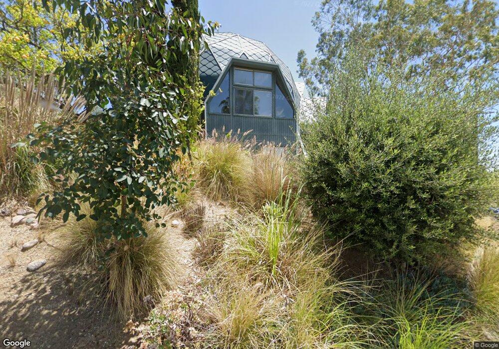
4905 Coringa Dr Los Angeles, CA 90042
Eagle Rock NeighborhoodEstimated Value: $1,324,000 - $1,715,000
3
Beds
3
Baths
1,979
Sq Ft
$754/Sq Ft
Est. Value
About This Home
This home is located at 4905 Coringa Dr, Los Angeles, CA 90042 and is currently estimated at $1,493,135, approximately $754 per square foot. 4905 Coringa Dr is a home located in Los Angeles County with nearby schools including Buchanan Street Elementary and Franklin Middle School & High School.
Ownership History
Date
Name
Owned For
Owner Type
Purchase Details
Closed on
Dec 22, 2003
Sold by
Thomas Harry Wellington and Thomas Kathy Nather
Bought by
Occidential College
Current Estimated Value
Purchase Details
Closed on
Nov 11, 1999
Sold by
Osbaldeston Peter A and Osbaldeston Jodi E
Bought by
Thomas Harry Wellington and Thomas Kathy Nather
Home Financials for this Owner
Home Financials are based on the most recent Mortgage that was taken out on this home.
Original Mortgage
$199,000
Interest Rate
7.96%
Create a Home Valuation Report for This Property
The Home Valuation Report is an in-depth analysis detailing your home's value as well as a comparison with similar homes in the area
Home Values in the Area
Average Home Value in this Area
Purchase History
| Date | Buyer | Sale Price | Title Company |
|---|---|---|---|
| Occidential College | $555,000 | Old Republic Title Company | |
| Thomas Harry Wellington | $299,000 | Equity Title Company |
Source: Public Records
Mortgage History
| Date | Status | Borrower | Loan Amount |
|---|---|---|---|
| Previous Owner | Thomas Harry Wellington | $199,000 |
Source: Public Records
Tax History
| Year | Tax Paid | Tax Assessment Tax Assessment Total Assessment is a certain percentage of the fair market value that is determined by local assessors to be the total taxable value of land and additions on the property. | Land | Improvement |
|---|---|---|---|---|
| 2025 | $197 | $675,333 | $497,618 | $177,715 |
| 2024 | $197 | $662,092 | $487,861 | $174,231 |
| 2023 | $197 | $649,111 | $478,296 | $170,815 |
| 2022 | $193 | $636,384 | $468,918 | $167,466 |
| 2021 | $178 | $623,907 | $459,724 | $164,183 |
| 2019 | $176 | $605,404 | $446,090 | $159,314 |
| 2018 | $184 | $593,535 | $437,344 | $156,191 |
| 2016 | $180 | $570,489 | $420,362 | $150,127 |
| 2015 | $180 | $561,920 | $414,048 | $147,872 |
| 2014 | $192 | $550,914 | $405,938 | $144,976 |
Source: Public Records
Map
Nearby Homes
- 5007 Almaden Dr
- 4920 Stratford Rd
- 4816 Stratford Rd
- 5132 Range View Ave
- 1932 Phillips Way
- 1942 Phillips Way
- 1938 Phillips Way
- 5240 Barker Dr
- 1411 Armadale Ave
- 1621 Campus Rd
- 5001 Buchanan St
- 2107 Ridgeview Ave
- 1817 N Avenue 55
- 1333 Wildwood Dr
- 2035 Las Colinas Ave
- 1926 Yosemite Dr
- 1930 Yosemite Dr
- 4666 York Blvd
- 2161 Ridgeview Ave
- 1747 N Avenue 46
- 4915 Coringa Dr
- 4985 Coringa Dr
- 4919 Coringa Dr
- 4927 Coringa Dr
- 4983 Coringa Dr
- 4981 Coringa Dr
- 4933 Coringa Dr
- 4987 Coringa Dr
- 4979 Coringa Dr
- 4980 Coringa Dr
- 4971 Coringa Dr
- 5000 Eaton St
- 5001 Coringa Dr
- 5006 Eaton St
- 4970 Coringa Dr
- 4986 Coringa Dr
- 4953 Coringa Dr
- 1836 North Avenue 50
- 5013 Coringa Dr
- 5010 Eaton St
Your Personal Tour Guide
Ask me questions while you tour the home.