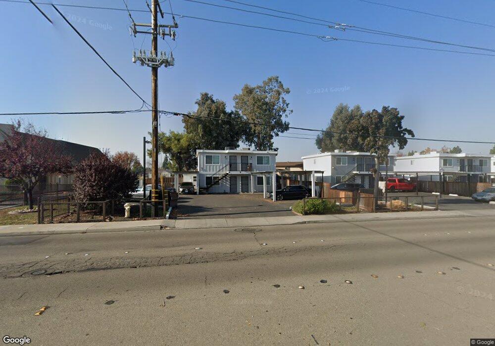
491 S Union Rd Manteca, CA 95337
Estimated Value: $520,000 - $616,000
16
Beds
16
Baths
2,268
Sq Ft
$254/Sq Ft
Est. Value
About This Home
This home is located at 491 S Union Rd, Manteca, CA 95337 and is currently estimated at $576,333, approximately $254 per square foot. 491 S Union Rd is a home located in San Joaquin County with nearby schools including Brock Elliott Elementary School and Sierra High School.
Ownership History
Date
Name
Owned For
Owner Type
Purchase Details
Closed on
Aug 8, 2019
Sold by
Thompson Todd G
Bought by
Sharif Mohammad Hashim
Current Estimated Value
Home Financials for this Owner
Home Financials are based on the most recent Mortgage that was taken out on this home.
Original Mortgage
$900,000
Outstanding Balance
$788,234
Interest Rate
3.7%
Mortgage Type
Commercial
Estimated Equity
-$211,901
Create a Home Valuation Report for This Property
The Home Valuation Report is an in-depth analysis detailing your home's value as well as a comparison with similar homes in the area
Purchase History
| Date | Buyer | Sale Price | Title Company |
|---|---|---|---|
| Sharif Mohammad Hashim | $1,200,000 | Fidelity Natl Ttl Stockton | |
| Sharif Mohammad Hashim | -- | Fidelity Natl Ttl Stockton |
Source: Public Records
Mortgage History
| Date | Status | Borrower | Loan Amount |
|---|---|---|---|
| Open | Sharif Mohammad Hashim | $900,000 |
Source: Public Records
Tax History
| Year | Tax Paid | Tax Assessment Tax Assessment Total Assessment is a certain percentage of the fair market value that is determined by local assessors to be the total taxable value of land and additions on the property. | Land | Improvement |
|---|---|---|---|---|
| 2025 | $4,906 | $437,454 | $98,426 | $339,028 |
| 2024 | $4,769 | $428,878 | $96,497 | $332,381 |
| 2023 | $4,711 | $420,469 | $94,605 | $325,864 |
| 2022 | $4,641 | $412,225 | $92,750 | $319,475 |
| 2021 | $4,591 | $404,143 | $90,932 | $313,211 |
| 2020 | $4,406 | $400,000 | $90,000 | $310,000 |
| 2019 | $22,530 | $154,271 | $37,552 | $116,719 |
| 2018 | $1,717 | $151,247 | $36,816 | $114,431 |
| 2017 | $1,692 | $148,283 | $36,095 | $112,188 |
| 2016 | $1,652 | $145,376 | $35,388 | $109,988 |
| 2014 | $1,531 | $140,388 | $34,173 | $106,215 |
Source: Public Records
Map
Nearby Homes
- 1164 Marion St
- 578 Schooner Place
- 1432 Driftwood Way
- 1015 Tenaya Ct
- 119 Almond Ave
- 865 Locust Ave
- 802 W Center St
- 412 Golf Cir E Unit E
- 1023 Camphor St
- 776 Folsom Way
- 896 Cinnamon Teal Ct
- 427 Golf Cir W
- 414 Cherry Ln Unit G
- 479 Cherry Ln Unit A
- 938 Snowgoose Ln
- 495 Cherry Ln Unit B
- 495 Cherry Ln Unit G
- 1821 Avo Way
- 480 Cherry Ln Unit E
- 1142 Mammoth Dr
- 475 S Union Rd
- 464 Lynette Place
- 457 S Union Rd
- 468 Lynette Place
- 454 Lynette Place
- 488 S Union Rd
- 437 S Union Rd
- 444 S Union Rd
- 438 Lynette Place
- 467 Lynette Place
- 456 Lynette Place
- 1218 Todd St
- 418 Lynette Place
- 1154 Marion St
- 608 Scott Place
- 455 Lynette Place
- 607 Scott Place
- 437 Lynette Place
- 1144 Marion St
- 384 S Union Rd
Your Personal Tour Guide
Ask me questions while you tour the home.