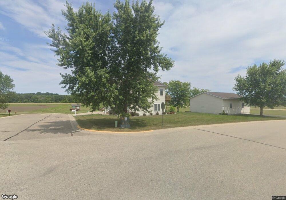
493 Nelson Dr Wanamingo, MN 55983
Estimated Value: $374,850 - $437,000
4
Beds
3
Baths
2,048
Sq Ft
$197/Sq Ft
Est. Value
About This Home
This home is located at 493 Nelson Dr, Wanamingo, MN 55983 and is currently estimated at $402,713, approximately $196 per square foot. 493 Nelson Dr is a home located in Goodhue County with nearby schools including Kenyon-Wanamingo Elementary School, Kenyon-Wanamingo Middle School, and Kenyon-Wanamingo Senior High School.
Ownership History
Date
Name
Owned For
Owner Type
Purchase Details
Closed on
Jun 8, 2015
Sold by
Schuster Adam Adam
Bought by
Miland Daniel Daniel
Current Estimated Value
Home Financials for this Owner
Home Financials are based on the most recent Mortgage that was taken out on this home.
Original Mortgage
$234,175
Outstanding Balance
$182,148
Interest Rate
3.87%
Estimated Equity
$220,565
Purchase Details
Closed on
Mar 29, 2002
Sold by
Nelson John R and Nelson Barbara M
Bought by
Schuster Adam P and Schuster Heather
Create a Home Valuation Report for This Property
The Home Valuation Report is an in-depth analysis detailing your home's value as well as a comparison with similar homes in the area
Home Values in the Area
Average Home Value in this Area
Purchase History
| Date | Buyer | Sale Price | Title Company |
|---|---|---|---|
| Miland Daniel Daniel | $246,500 | -- | |
| Schuster Adam P | $28,000 | -- |
Source: Public Records
Mortgage History
| Date | Status | Borrower | Loan Amount |
|---|---|---|---|
| Open | Miland Daniel Daniel | $234,175 |
Source: Public Records
Tax History Compared to Growth
Tax History
| Year | Tax Paid | Tax Assessment Tax Assessment Total Assessment is a certain percentage of the fair market value that is determined by local assessors to be the total taxable value of land and additions on the property. | Land | Improvement |
|---|---|---|---|---|
| 2025 | $5,222 | $367,000 | $60,000 | $307,000 |
| 2024 | $5,222 | $362,400 | $60,000 | $302,400 |
| 2023 | $2,522 | $343,200 | $53,100 | $290,100 |
| 2022 | $4,894 | $320,200 | $48,400 | $271,800 |
| 2021 | $4,536 | $283,700 | $48,400 | $235,300 |
| 2020 | $4,362 | $282,100 | $48,400 | $233,700 |
| 2019 | $3,914 | $274,200 | $48,400 | $225,800 |
| 2018 | $4,182 | $234,000 | $32,300 | $201,700 |
| 2017 | $3,616 | $258,200 | $32,300 | $225,900 |
| 2016 | $3,230 | $227,200 | $32,300 | $194,900 |
| 2015 | $3,236 | $199,700 | $32,300 | $167,400 |
| 2014 | -- | $193,400 | $27,700 | $165,700 |
Source: Public Records
Map
Nearby Homes
- TBD Nelson Valley View
- 641 Beverly St
- 540 4th St E
- 911 3rd St E
- TBD Lot 1 Hill Ave
- TBD Lot 2 Hill Ave
- TBD Lot 3 Hill Ave
- 536 3rd Ave S
- 224 3rd Ave
- 229 2nd Ave
- 602 9th St
- 903 7th Ave
- 888 Tallgrass Ct
- 890 Tall Grass Ct
- 2152 Mingo View Dr
- 915 7th Ave
- 15400 460th St
- 15647 460th St
- 16800 County 168 Blvd
- 44490 Highway 52 Blvd