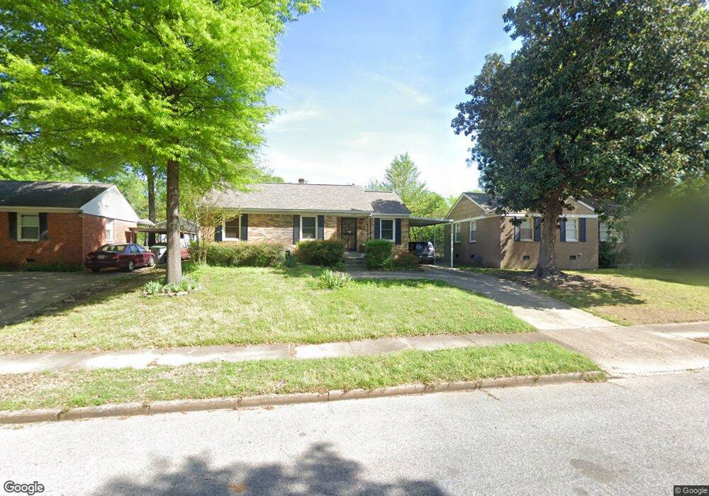
4938 Kimball Ave Memphis, TN 38117
Colonial Acres NeighborhoodEstimated Value: $272,000 - $296,000
4
Beds
3
Baths
2,240
Sq Ft
$128/Sq Ft
Est. Value
About This Home
This home is located at 4938 Kimball Ave, Memphis, TN 38117 and is currently estimated at $286,739, approximately $128 per square foot. 4938 Kimball Ave is a home located in Shelby County with nearby schools including Sea Isle Elementary School, Colonial Middle, and Overton High.
Ownership History
Date
Name
Owned For
Owner Type
Purchase Details
Closed on
Sep 26, 2019
Sold by
Griffin Earl B and Griffin Gilbert R
Bought by
Battle John R and Battle Sheila L
Current Estimated Value
Purchase Details
Closed on
Jul 30, 2014
Sold by
Battle John R and Battle Sheila L
Bought by
The John And Sheila Battle Revocable Liv
Purchase Details
Closed on
Oct 30, 1996
Sold by
Mosley Howard T and Mosley Beverly K
Bought by
Battle John R and Battle Sheila L
Create a Home Valuation Report for This Property
The Home Valuation Report is an in-depth analysis detailing your home's value as well as a comparison with similar homes in the area
Home Values in the Area
Average Home Value in this Area
Purchase History
| Date | Buyer | Sale Price | Title Company |
|---|---|---|---|
| Battle John R | $99,000 | Delta Title Services Llc | |
| The John And Sheila Battle Revocable Liv | -- | None Available | |
| Battle John R | $73,000 | Mid America Title Agency Inc |
Source: Public Records
Tax History Compared to Growth
Tax History
| Year | Tax Paid | Tax Assessment Tax Assessment Total Assessment is a certain percentage of the fair market value that is determined by local assessors to be the total taxable value of land and additions on the property. | Land | Improvement |
|---|---|---|---|---|
| 2025 | $1,881 | $68,125 | $9,000 | $59,125 |
| 2024 | $1,881 | $55,475 | $6,250 | $49,225 |
| 2023 | $3,379 | $55,475 | $6,250 | $49,225 |
| 2022 | $3,379 | $55,475 | $6,250 | $49,225 |
| 2021 | $3,419 | $55,475 | $6,250 | $49,225 |
| 2020 | $2,561 | $35,350 | $6,250 | $29,100 |
| 2019 | $2,561 | $35,350 | $6,250 | $29,100 |
| 2018 | $2,561 | $35,350 | $6,250 | $29,100 |
| 2017 | $1,453 | $35,350 | $6,250 | $29,100 |
| 2016 | $1,629 | $37,275 | $0 | $0 |
| 2014 | $1,629 | $37,275 | $0 | $0 |
Source: Public Records
Map
Nearby Homes
- 1403 Whitewater Rd
- 4891 Flamingo Rd
- 4885 Flamingo Rd
- 4861 Verne Rd
- 1485 Ivy Rd
- 5080 Sea Isle Rd
- 4944 Mockingbird Ln
- 4908 Mockingbird Ln
- 4803 Hummingbird Ln
- 1321 Wilbec Rd
- 1534 Ivy Rd
- 4861 Parkside Ave
- 4804 Hummingbird Ln
- 5055 Wingdale Rd
- 1292 S White Station Rd
- 5067 Wingdale Rd
- 1340 S White Station Rd
- 4841 Dee Rd
- 1615 Delmont Rd
- 4888 Dee Rd
- 4932 Kimball Ave
- 4944 Kimball Ave
- 4950 Kimball Ave
- 4937 Marianne Ln
- 4931 Marianne Ln
- 4943 Marianne Ln
- 4920 Kimball Ave
- 4925 Marianne Ln
- 4937 Kimball Ave
- 4949 Marianne Ln
- 4931 Kimball Ave
- 4921 Marianne Ln
- 4925 Kimball Ave
- 4949 Kimball Ave
- 4914 Kimball Ave
- 4955 Marianne Ln
- 4919 Kimball Ave
- 4962 Kimball Ave
- 4955 Kimball Ave
- 4915 Marianne Ln