4945 Boggs and Champlin Rd Corning, CA 96021
Estimated Value: $186,000 - $663,000
3
Beds
2
Baths
1,712
Sq Ft
$286/Sq Ft
Est. Value
About This Home
This home is located at 4945 Boggs and Champlin Rd, Corning, CA 96021 and is currently estimated at $489,355, approximately $285 per square foot. 4945 Boggs and Champlin Rd is a home located in Tehama County with nearby schools including Flournoy Elementary School and Corning High School.
Ownership History
Date
Name
Owned For
Owner Type
Purchase Details
Closed on
May 21, 2009
Sold by
Hill Brandy
Bought by
Hill Michael
Current Estimated Value
Home Financials for this Owner
Home Financials are based on the most recent Mortgage that was taken out on this home.
Original Mortgage
$265,109
Outstanding Balance
$167,231
Interest Rate
4.82%
Mortgage Type
FHA
Estimated Equity
$322,124
Purchase Details
Closed on
Apr 7, 2008
Sold by
Kvamme Darrell A and Johnson Karen A
Bought by
Powell Ethridge N and Powell Deloris A
Purchase Details
Closed on
May 4, 2005
Sold by
Kvamme Darrell A
Bought by
Kvamme Darrell A and Johnson Karen A
Home Financials for this Owner
Home Financials are based on the most recent Mortgage that was taken out on this home.
Original Mortgage
$68,000
Interest Rate
5.99%
Mortgage Type
Stand Alone Refi Refinance Of Original Loan
Purchase Details
Closed on
Jul 5, 2002
Sold by
Powell Ethridge N and Powell Deloris A
Bought by
Kvamme Darrell A
Home Financials for this Owner
Home Financials are based on the most recent Mortgage that was taken out on this home.
Original Mortgage
$68,000
Interest Rate
6.71%
Mortgage Type
Seller Take Back
Create a Home Valuation Report for This Property
The Home Valuation Report is an in-depth analysis detailing your home's value as well as a comparison with similar homes in the area
Home Values in the Area
Average Home Value in this Area
Purchase History
| Date | Buyer | Sale Price | Title Company |
|---|---|---|---|
| Hill Michael | -- | Placer Title Company | |
| Hill Michael | $270,000 | Placer Title Company | |
| Powell Ethridge N | -- | Accommodation | |
| Kvamme Darrell A | -- | Fidelity National Title | |
| Kvamme Darrell A | $83,500 | Fidelity National Title |
Source: Public Records
Mortgage History
| Date | Status | Borrower | Loan Amount |
|---|---|---|---|
| Open | Hill Michael | $265,109 | |
| Previous Owner | Kvamme Darrell A | $68,000 | |
| Previous Owner | Kvamme Darrell A | $68,000 |
Source: Public Records
Tax History Compared to Growth
Tax History
| Year | Tax Paid | Tax Assessment Tax Assessment Total Assessment is a certain percentage of the fair market value that is determined by local assessors to be the total taxable value of land and additions on the property. | Land | Improvement |
|---|---|---|---|---|
| 2025 | $1,812 | $182,458 | $31,691 | $150,767 |
| 2023 | $1,766 | $173,694 | $29,926 | $143,768 |
| 2022 | $1,704 | $167,345 | $29,503 | $137,842 |
| 2021 | $1,656 | $164,594 | $29,131 | $135,463 |
| 2020 | $1,663 | $162,778 | $28,534 | $134,244 |
| 2019 | $1,605 | $159,675 | $27,739 | $131,936 |
| 2018 | $1,536 | $151,490 | $27,317 | $124,173 |
| 2017 | $1,516 | $148,233 | $26,279 | $121,954 |
| 2016 | $1,418 | $144,923 | $25,144 | $119,779 |
| 2015 | $1,395 | $142,748 | $24,602 | $118,146 |
| 2014 | $1,263 | $129,041 | $23,993 | $105,048 |
Source: Public Records
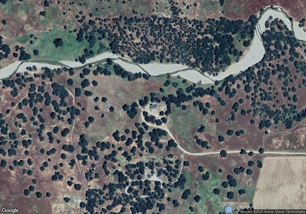
Map
Nearby Homes
- 16065 Paskenta Rd
- 16065 Paskenta Rd
- 4250 Osborn Rd
- 4250 Osborn Rd Unit Osborn Road
- 5475 Rachelle Way
- 6875 Remunda Rd
- 6915 Remunda Rd
- 16164 Nugget Rd
- 16368 Lariat Loop
- 16298 Lariat Loop Unit Lot 127
- 16298 Lariat Loop
- 6960 Cougar Dr
- 15385 Weston Rd
- 6920 Remunda Rd
- 16318 Longhorn Ln
- 7095 Cougar Dr Unit Lot 630
- 7095 Cougar Dr
- 16015 Apache Trail Unit Lot 1141
- 16015 Apache Trail
- 7030 Oxyoke Bend