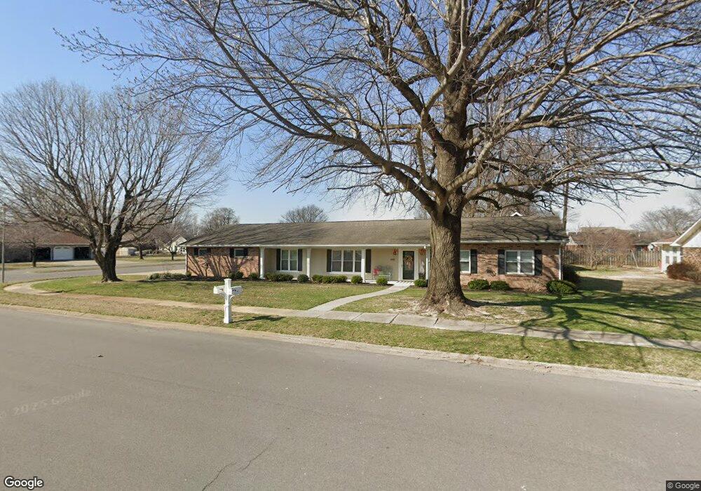
495 Saint Paul Dr New Madrid, MO 63869
Estimated Value: $203,000 - $217,705
3
Beds
1
Bath
2,462
Sq Ft
$86/Sq Ft
Est. Value
About This Home
This home is located at 495 Saint Paul Dr, New Madrid, MO 63869 and is currently estimated at $210,902, approximately $85 per square foot. 495 Saint Paul Dr is a home with nearby schools including Central High School and Immaculate Conception School.
Ownership History
Date
Name
Owned For
Owner Type
Purchase Details
Closed on
Aug 24, 2021
Sold by
Brasher Timothy
Bought by
Brands Property Llc
Current Estimated Value
Purchase Details
Closed on
Apr 29, 2021
Sold by
Mccoy Farm Properties Lp
Bought by
Brands Darla Jean and Brands Darla Jean
Purchase Details
Closed on
Aug 16, 2017
Sold by
Brands Jeffery D and Brands Darla Jean
Bought by
Brands Jeffery D and Brands Darla Jean
Create a Home Valuation Report for This Property
The Home Valuation Report is an in-depth analysis detailing your home's value as well as a comparison with similar homes in the area
Home Values in the Area
Average Home Value in this Area
Purchase History
| Date | Buyer | Sale Price | Title Company |
|---|---|---|---|
| Brands Property Llc | -- | National Title Dexter | |
| Brands Darla Jean | -- | None Available | |
| Brands Jeffery D | -- | None Available |
Source: Public Records
Tax History Compared to Growth
Tax History
| Year | Tax Paid | Tax Assessment Tax Assessment Total Assessment is a certain percentage of the fair market value that is determined by local assessors to be the total taxable value of land and additions on the property. | Land | Improvement |
|---|---|---|---|---|
| 2024 | $1,217 | $23,500 | $2,000 | $21,500 |
| 2023 | $1,221 | $23,500 | $0 | $0 |
| 2022 | $1,127 | $21,800 | $2,000 | $19,800 |
| 2021 | $1,125 | $21,800 | $0 | $0 |
| 2020 | $1,072 | $21,800 | $0 | $0 |
| 2019 | $1,071 | $20,610 | $1,860 | $18,750 |
| 2018 | $962 | $18,500 | $0 | $0 |
| 2017 | $953 | $18,500 | $0 | $0 |
| 2016 | -- | $16,890 | $0 | $0 |
| 2015 | -- | $16,890 | $0 | $0 |
| 2014 | -- | $16,890 | $0 | $0 |
Source: Public Records
Map
Nearby Homes
- 470 Saint Paul Dr
- 950 2nd St
- 22 Greenbriar Dr
- 101 Saint Matthew Ln
- 340 Semo Dr
- 731 Davis St
- 931 Davis St
- 402 Waters St
- 0 Highway P Unit MIS25062383
- I-55 S Outer Rd
- 202 S Lewis St
- 954 Highway Hh
- 1608 County Road 711
- 209 Kell Rd
- 8 Mississippi Island
- 0 County Road 714
- 506 W Main St
- 102 N Davis St
- 100 Summit St
- 17 Cardinal Ln
- 485 Saint Paul Dr
- 490 Saint Peter Dr
- 490 Saint Paul Dr
- 501 Saint Paul Dr
- 475 Saint Paul Dr
- 450 Saint Peter Dr
- 510 Saint Peter Dr
- 510 Saint Paul Dr
- 455 Saint Paul Dr
- 495 Saint Peter Dr
- 151 Saint Vincent Dr
- 485 Saint Peter Dr
- 430 Saint Peter Dr
- 501 Saint Peter Dr
- 530 Saint Peter Dr
- 520 Saint Paul Dr
- 435 Saint Paul Dr
- 465 Saint Peter Dr
- 150 Saint Vincent Dr
- 420 Saint Peter Dr