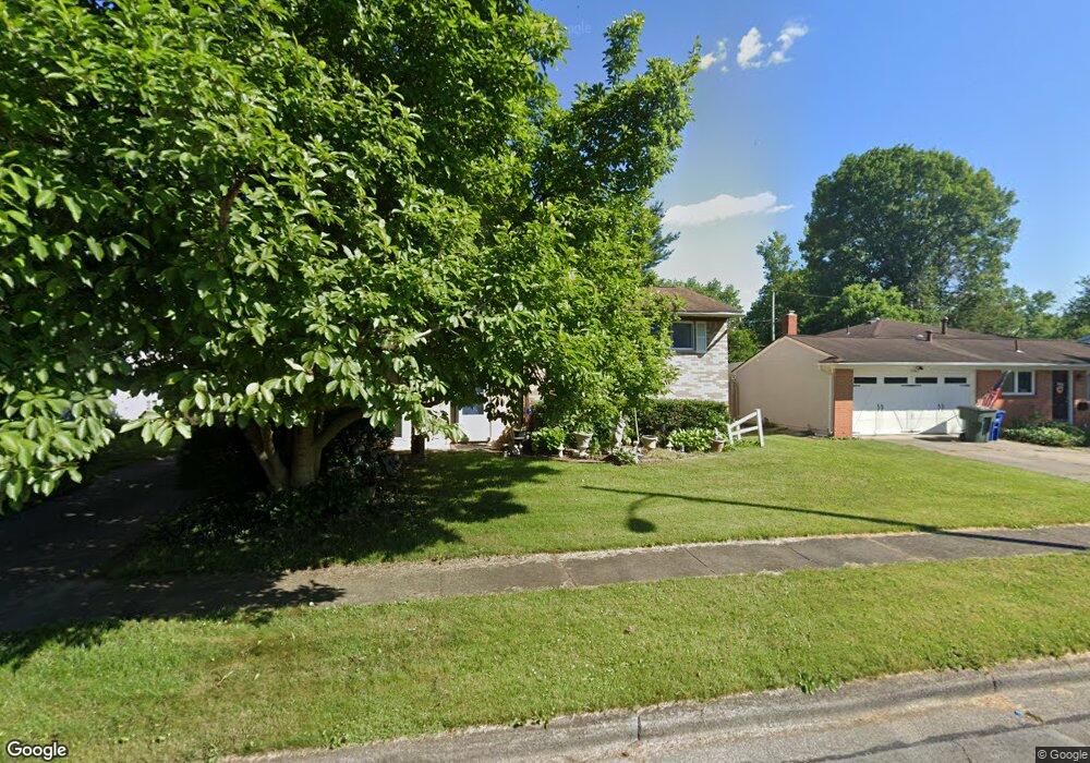
4969 Comstock Dr Columbus, OH 43232
Walnut Heights NeighborhoodEstimated Value: $220,000 - $256,000
4
Beds
2
Baths
1,724
Sq Ft
$136/Sq Ft
Est. Value
About This Home
This home is located at 4969 Comstock Dr, Columbus, OH 43232 and is currently estimated at $234,822, approximately $136 per square foot. 4969 Comstock Dr is a home located in Franklin County with nearby schools including Liberty Elementary School, Yorktown Middle School, and Independence High School.
Ownership History
Date
Name
Owned For
Owner Type
Purchase Details
Closed on
Aug 8, 2025
Sold by
Sheriff Of Franklin County
Bought by
Modest Homes Llc
Current Estimated Value
Purchase Details
Closed on
Sep 16, 2010
Sold by
Collins Margaret A and Conley Julie A
Bought by
Crumley Mike
Home Financials for this Owner
Home Financials are based on the most recent Mortgage that was taken out on this home.
Original Mortgage
$71,536
Interest Rate
5.25%
Mortgage Type
FHA
Purchase Details
Closed on
Jun 14, 1991
Purchase Details
Closed on
Nov 27, 1987
Create a Home Valuation Report for This Property
The Home Valuation Report is an in-depth analysis detailing your home's value as well as a comparison with similar homes in the area
Home Values in the Area
Average Home Value in this Area
Purchase History
| Date | Buyer | Sale Price | Title Company |
|---|---|---|---|
| Modest Homes Llc | $171,100 | None Listed On Document | |
| Crumley Mike | $72,500 | Valmer Land | |
| -- | $69,000 | -- | |
| -- | -- | -- |
Source: Public Records
Mortgage History
| Date | Status | Borrower | Loan Amount |
|---|---|---|---|
| Previous Owner | Crumley Mike | $71,536 |
Source: Public Records
Tax History
| Year | Tax Paid | Tax Assessment Tax Assessment Total Assessment is a certain percentage of the fair market value that is determined by local assessors to be the total taxable value of land and additions on the property. | Land | Improvement |
|---|---|---|---|---|
| 2025 | $3,512 | $70,460 | $17,820 | $52,640 |
| 2024 | $3,512 | $70,460 | $17,820 | $52,640 |
| 2023 | $3,208 | $70,455 | $17,815 | $52,640 |
| 2022 | $1,861 | $35,880 | $6,300 | $29,580 |
| 2021 | $1,864 | $35,880 | $6,300 | $29,580 |
| 2020 | $1,867 | $35,880 | $6,300 | $29,580 |
| 2019 | $1,820 | $30,000 | $5,250 | $24,750 |
| 2018 | $1,678 | $30,000 | $5,250 | $24,750 |
| 2017 | $1,819 | $30,000 | $5,250 | $24,750 |
| 2016 | $1,697 | $25,620 | $4,340 | $21,280 |
| 2015 | $1,541 | $25,620 | $4,340 | $21,280 |
| 2014 | $1,544 | $25,620 | $4,340 | $21,280 |
| 2013 | $847 | $28,490 | $4,830 | $23,660 |
Source: Public Records
Map
Nearby Homes
- 5123 Jameson Dr
- 0 Noe Bixby Rd
- 5114 Carbondale Dr
- 5144 Botsford Dr
- 2336 Noe Bixby Rd
- 2348 Noe Bixby Rd
- 2342 Noe Bixby Rd
- 2360 Noe Bixby Rd
- 2354 Noe Bixby Rd
- 2608 Hubbell Rd
- 5137 Holbrook Dr
- 2651 Brownfield Rd
- 1945 Riverdale Rd
- 5278 Glenbriar Ct
- 5207 Kornwal Dr
- 4942 Talbert Dr
- 2706 Moundcrest St
- 2932 Renfro Rd
- 2900 Gentry Ln
- 5290 Quincy Dr
- 4977 Comstock Dr
- 4963 Comstock Dr
- 4985 Comstock Dr
- 4986 Keelson Dr
- 4955 Comstock Dr
- 4992 Keelson Dr
- 4978 Keelson Dr
- 4952 Keelson Dr
- 5000 Keelson Dr
- 5000 Keelson Dr
- 4970 Keelson Dr
- 4944 Keelson Dr
- 4966 Comstock Dr
- 4974 Comstock Dr
- 4991 Comstock Dr
- 4949 Comstock Dr
- 4938 Keelson Dr
- 4960 Comstock Dr
- 4932 Keelson Dr
- 5006 Keelson Dr
Your Personal Tour Guide
Ask me questions while you tour the home.