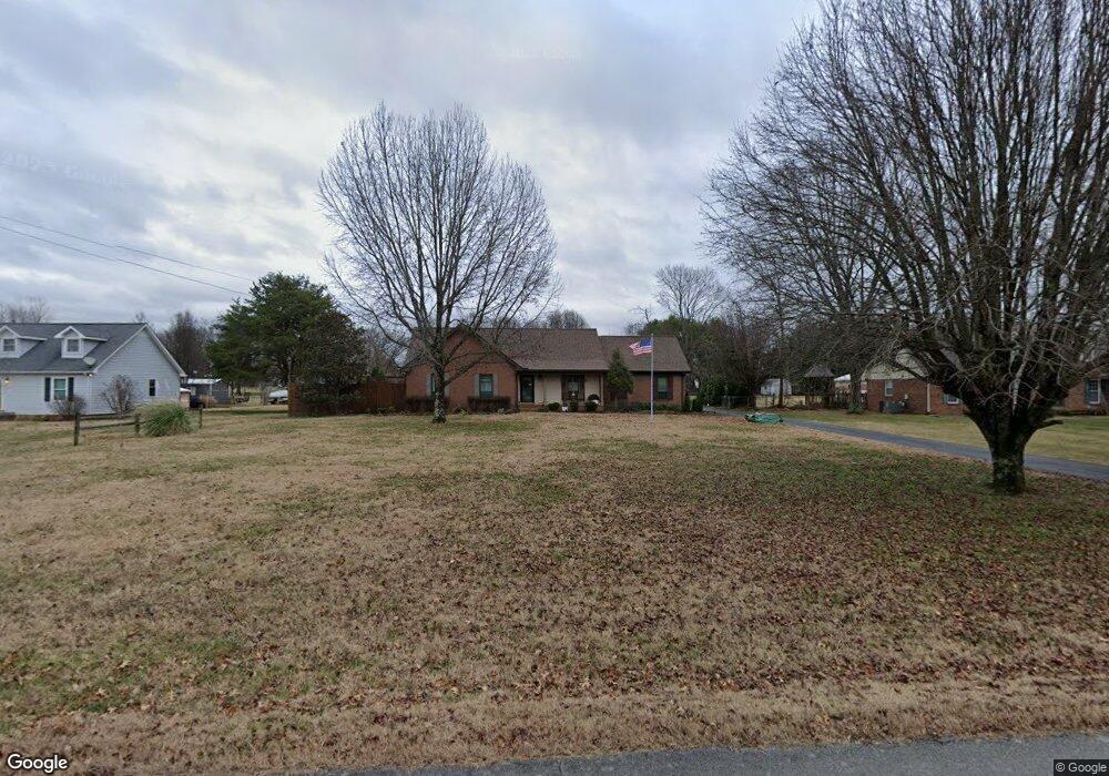
499 Amber Dr Mount Juliet, TN 37122
Estimated Value: $383,189 - $469,000
--
Bed
2
Baths
1,360
Sq Ft
$313/Sq Ft
Est. Value
About This Home
This home is located at 499 Amber Dr, Mount Juliet, TN 37122 and is currently estimated at $425,797, approximately $313 per square foot. 499 Amber Dr is a home located in Wilson County with nearby schools including Gladeville Elementary School, Gladeville Middle School, and Wilson Central High School.
Ownership History
Date
Name
Owned For
Owner Type
Purchase Details
Closed on
Jul 26, 2010
Sold by
The Bank Of New York Mello
Bought by
Ford Craig Austin
Current Estimated Value
Purchase Details
Closed on
Feb 11, 2010
Sold by
Seres Frank N
Bought by
The Bank Of New York Mellon
Purchase Details
Closed on
Aug 24, 2005
Sold by
Pickerel Alan E
Bought by
Seres Frank N
Home Financials for this Owner
Home Financials are based on the most recent Mortgage that was taken out on this home.
Original Mortgage
$152,800
Interest Rate
6.69%
Purchase Details
Closed on
Mar 28, 1996
Sold by
North Nelson L
Bought by
Pickerel Alan E
Purchase Details
Closed on
Apr 28, 1988
Bought by
North Nelson L
Purchase Details
Closed on
Nov 14, 1986
Bought by
Rowlett Charles and Rowlett Irene
Create a Home Valuation Report for This Property
The Home Valuation Report is an in-depth analysis detailing your home's value as well as a comparison with similar homes in the area
Home Values in the Area
Average Home Value in this Area
Purchase History
| Date | Buyer | Sale Price | Title Company |
|---|---|---|---|
| Ford Craig Austin | $161,000 | -- | |
| The Bank Of New York Mellon | $160,000 | -- | |
| Seres Frank N | $191,000 | -- | |
| Pickerel Alan E | $107,000 | -- | |
| North Nelson L | $77,500 | -- | |
| Rowlett Charles | -- | -- |
Source: Public Records
Mortgage History
| Date | Status | Borrower | Loan Amount |
|---|---|---|---|
| Previous Owner | Rowlett Charles | $152,800 | |
| Previous Owner | Rowlett Charles | $38,200 |
Source: Public Records
Tax History Compared to Growth
Tax History
| Year | Tax Paid | Tax Assessment Tax Assessment Total Assessment is a certain percentage of the fair market value that is determined by local assessors to be the total taxable value of land and additions on the property. | Land | Improvement |
|---|---|---|---|---|
| 2024 | $1,460 | $76,500 | $22,500 | $54,000 |
| 2022 | $1,460 | $76,500 | $22,500 | $54,000 |
| 2021 | $1,323 | $76,500 | $22,500 | $54,000 |
| 2020 | $1,105 | $69,300 | $22,500 | $46,800 |
| 2019 | $1,105 | $43,850 | $13,750 | $30,100 |
| 2018 | $1,105 | $43,850 | $13,750 | $30,100 |
| 2017 | $1,105 | $43,850 | $13,750 | $30,100 |
| 2016 | $1,105 | $43,850 | $13,750 | $30,100 |
| 2015 | $1,127 | $43,850 | $13,750 | $30,100 |
| 2014 | $968 | $37,665 | $0 | $0 |
Source: Public Records
Map
Nearby Homes
- 7736 Stewarts Ferry Pike
- 447 Sanders Ln
- 102 Stonefield Dr
- 823 Tall Oak Trail
- 1525 Harkreader Rd
- 685 Castle Rd
- 535 Gladeville Rd
- 511 Oakvale Ln
- Reedy Plan at The Oaks
- Harding Plan at The Oaks
- Sinclair Plan at The Oaks
- 411 Boulder Creek Ct
- 561 Oakvale Ln
- 1191 Lone Oak Rd
- 0 Central Pike Unit RTC3011631
- 705 Wiskey Trail
- 1964 Harkreader Rd
- 704 Wiskey Trail
- 707 Wiskey Trail
- 706 Wiskey Trail