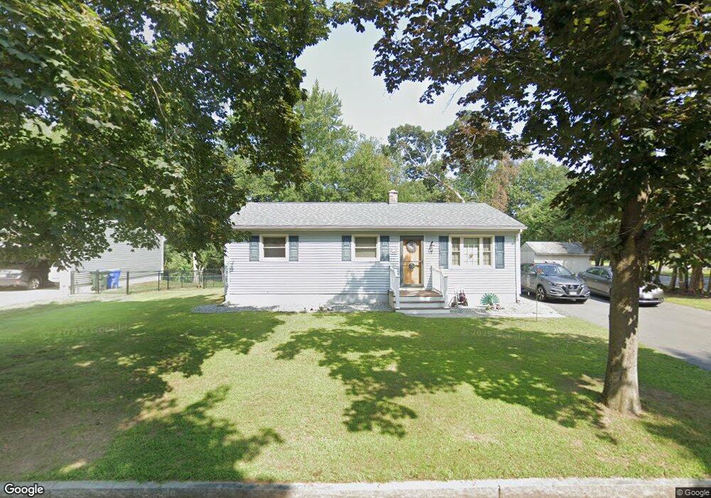
5 Bamforth Rd Springfield, MA 01128
Sixteen Acres NeighborhoodEstimated Value: $297,720 - $322,000
3
Beds
1
Bath
988
Sq Ft
$310/Sq Ft
Est. Value
About This Home
This home is located at 5 Bamforth Rd, Springfield, MA 01128 and is currently estimated at $306,680, approximately $310 per square foot. 5 Bamforth Rd is a home located in Hampden County with nearby schools including Daniel B Brunton, M Marcus Kiley Middle, and Springfield High School of Science and Technology.
Ownership History
Date
Name
Owned For
Owner Type
Purchase Details
Closed on
Jun 28, 1999
Sold by
Messina Joseph K and Messina Elaine M
Bought by
Morin Jill E and Cardaropoli Dennis E
Current Estimated Value
Home Financials for this Owner
Home Financials are based on the most recent Mortgage that was taken out on this home.
Original Mortgage
$93,850
Outstanding Balance
$25,313
Interest Rate
7.09%
Mortgage Type
Purchase Money Mortgage
Estimated Equity
$281,367
Purchase Details
Closed on
Nov 3, 1995
Sold by
Fett Harry S and Fett Barbara A
Bought by
Messina Joseph and Messina Elaine
Home Financials for this Owner
Home Financials are based on the most recent Mortgage that was taken out on this home.
Original Mortgage
$63,400
Interest Rate
7.58%
Mortgage Type
Purchase Money Mortgage
Purchase Details
Closed on
May 27, 1994
Sold by
Desrosiers Wayne T and Desrosiers Barbara J
Bought by
Fett Harry S and Fett Barbara A
Create a Home Valuation Report for This Property
The Home Valuation Report is an in-depth analysis detailing your home's value as well as a comparison with similar homes in the area
Home Values in the Area
Average Home Value in this Area
Purchase History
| Date | Buyer | Sale Price | Title Company |
|---|---|---|---|
| Morin Jill E | $93,900 | -- | |
| Messina Joseph | $79,300 | -- | |
| Fett Harry S | $49,000 | -- |
Source: Public Records
Mortgage History
| Date | Status | Borrower | Loan Amount |
|---|---|---|---|
| Open | Fett Harry S | $93,850 | |
| Previous Owner | Fett Harry S | $63,400 | |
| Previous Owner | Fett Harry S | $62,250 |
Source: Public Records
Tax History
| Year | Tax Paid | Tax Assessment Tax Assessment Total Assessment is a certain percentage of the fair market value that is determined by local assessors to be the total taxable value of land and additions on the property. | Land | Improvement |
|---|---|---|---|---|
| 2025 | $3,726 | $237,600 | $60,800 | $176,800 |
| 2024 | $3,443 | $214,400 | $60,800 | $153,600 |
| 2023 | $3,299 | $193,500 | $57,900 | $135,600 |
| 2022 | $3,574 | $189,900 | $61,200 | $128,700 |
| 2021 | $3,003 | $158,900 | $55,600 | $103,300 |
| 2020 | $2,990 | $153,100 | $55,600 | $97,500 |
| 2019 | $2,934 | $149,100 | $55,600 | $93,500 |
| 2018 | $2,844 | $144,500 | $55,600 | $88,900 |
| 2017 | $2,672 | $135,900 | $55,600 | $80,300 |
| 2016 | $2,617 | $133,100 | $55,600 | $77,500 |
| 2015 | $2,600 | $132,200 | $55,600 | $76,600 |
Source: Public Records
Map
Nearby Homes
- 228 Acrebrook Rd
- 119 Acrebrook Rd
- 301 Tinkham Rd
- 25 Angelica Dr
- 23 Rachael St
- 17 Skyridge Ln
- 60 Jeanne Marie St
- 17 Jeanne Marie St
- 34 Flora St
- 140 Slumber Ln
- 2306 Wilbraham Rd
- 1962 Allen St
- 15 Pine Acre Rd
- 88 Senator St
- 46 Puritan Cir
- 86 Wildwood Ave
- 25 Laurelwood Ln
- 81 W Crystal Brook Dr
- 16 Deerfoot Dr
- 0 Apple Blossom Ln
- 15 Bamforth Rd
- 234 Fair Oak Rd
- 221 Fair Oak Rd
- 8 Bamforth Rd
- 0 Fair Oak Rd
- 213 Fair Oak Rd
- 23 Bamforth Rd
- 110 Blueberry Hill St
- 18 Bamforth Rd
- 246 Fair Oak Rd
- 201 Fair Oak Rd
- 99 Blueberry Hill St
- 28 Bamforth Rd
- 33 Bamforth Rd
- 100 Blueberry Hill St
- 5 Berard Cir
- 135 Butternut St
- 180 Berard Cir
- 256 Fair Oak Rd
- 89 Blueberry Hill St
Your Personal Tour Guide
Ask me questions while you tour the home.