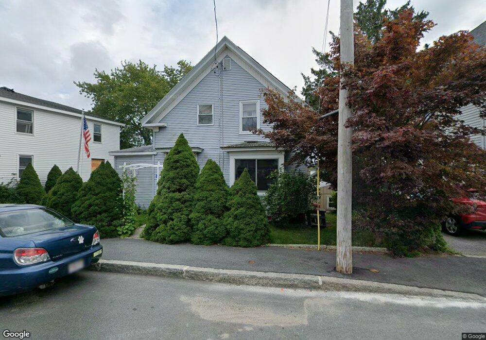
5 Forest St Gloucester, MA 01930
Central Gloucester NeighborhoodEstimated Value: $486,000 - $626,000
3
Beds
3
Baths
1,290
Sq Ft
$448/Sq Ft
Est. Value
About This Home
This home is located at 5 Forest St, Gloucester, MA 01930 and is currently estimated at $577,875, approximately $447 per square foot. 5 Forest St is a home located in Essex County with nearby schools including East Veterans Memorial Elementary, Ralph B O'maley Middle School, and Gloucester High School.
Ownership History
Date
Name
Owned For
Owner Type
Purchase Details
Closed on
May 30, 2001
Sold by
Phillips Robert and Phillips Cheryl A
Bought by
Magee Michael and Magee Judith E
Current Estimated Value
Purchase Details
Closed on
Apr 8, 1996
Sold by
Santos Anthony J and Santos Leonard
Bought by
Phillips Robert and Phillips Cheryl
Create a Home Valuation Report for This Property
The Home Valuation Report is an in-depth analysis detailing your home's value as well as a comparison with similar homes in the area
Home Values in the Area
Average Home Value in this Area
Purchase History
| Date | Buyer | Sale Price | Title Company |
|---|---|---|---|
| Magee Michael | $202,000 | -- | |
| Phillips Robert | $75,500 | -- |
Source: Public Records
Mortgage History
| Date | Status | Borrower | Loan Amount |
|---|---|---|---|
| Open | Phillips Robert | $126,000 | |
| Closed | Phillips Robert | $161,100 | |
| Closed | Phillips Robert | $158,000 |
Source: Public Records
Tax History
| Year | Tax Paid | Tax Assessment Tax Assessment Total Assessment is a certain percentage of the fair market value that is determined by local assessors to be the total taxable value of land and additions on the property. | Land | Improvement |
|---|---|---|---|---|
| 2025 | $4,754 | $489,100 | $150,300 | $338,800 |
| 2024 | $4,690 | $482,000 | $143,200 | $338,800 |
| 2023 | $4,492 | $424,200 | $127,800 | $296,400 |
| 2022 | $4,354 | $371,200 | $111,200 | $260,000 |
| 2021 | $4,205 | $338,000 | $101,100 | $236,900 |
| 2020 | $4,122 | $334,300 | $101,100 | $233,200 |
| 2019 | $3,907 | $307,900 | $101,100 | $206,800 |
| 2018 | $3,735 | $288,900 | $101,100 | $187,800 |
| 2017 | $3,551 | $269,200 | $91,000 | $178,200 |
| 2016 | $3,556 | $261,300 | $91,000 | $170,300 |
| 2015 | $3,391 | $248,400 | $91,000 | $157,400 |
Source: Public Records
Map
Nearby Homes
- 50 Warner St
- 40 Sargent St
- 19 Trask St Unit 2
- 113 Pleasant St
- 12 Arthur St
- 9 Cleveland Place
- 33 Maplewood Ave Unit 310
- 139A Prospect St
- 98 Maplewood Ave
- 8 Mystic Ave
- 13 Mystic Ave
- 120 Washington St
- 191 Main St Unit 3
- 191 Main St Unit 2A
- 6 Monroe Ct
- 35 Middle St Unit 4
- 20 Beacon St
- 20 Beacon St Unit 2
- 20 Beacon St Unit 1
- 33 Middle St
- 7 1/2 Forest St
- 7 Forest St
- 3 Forest St
- 53 Warner St
- 49 Warner St
- 9 Forest St
- 1 Forest St
- 55 Warner St
- 17 Millett St
- 17 Millett St Unit Furnished condo
- 17 Millett St Unit 3
- 17 Millett St
- 17 Millett St Unit 2
- 17 Millett St Unit 1
- 4 Forest St
- 15 Millett St
- 6 Forest St
- 21 Millett St
- 2 Forest St
- 47 Warner St
Your Personal Tour Guide
Ask me questions while you tour the home.