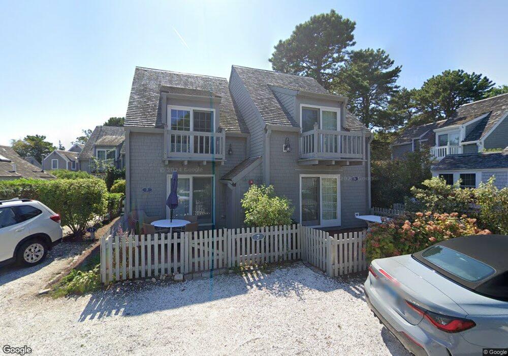
5 Hydrangea Ln Mashpee, MA 02649
New Seabury-Popponesset Island NeighborhoodEstimated Value: $770,000 - $889,000
2
Beds
2
Baths
840
Sq Ft
$969/Sq Ft
Est. Value
About This Home
This home is located at 5 Hydrangea Ln, Mashpee, MA 02649 and is currently estimated at $813,601, approximately $968 per square foot. 5 Hydrangea Ln is a home located in Barnstable County with nearby schools including Kenneth C. Coombs School, Quashnet School, and Mashpee Middle School.
Ownership History
Date
Name
Owned For
Owner Type
Purchase Details
Closed on
Jun 28, 1996
Sold by
Deitel Harvey M and Deitel Barbara S
Bought by
Lutz Dale W
Current Estimated Value
Home Financials for this Owner
Home Financials are based on the most recent Mortgage that was taken out on this home.
Original Mortgage
$99,000
Outstanding Balance
$7,037
Interest Rate
8.05%
Mortgage Type
Purchase Money Mortgage
Estimated Equity
$806,564
Create a Home Valuation Report for This Property
The Home Valuation Report is an in-depth analysis detailing your home's value as well as a comparison with similar homes in the area
Home Values in the Area
Average Home Value in this Area
Purchase History
| Date | Buyer | Sale Price | Title Company |
|---|---|---|---|
| Lutz Dale W | $133,000 | -- |
Source: Public Records
Mortgage History
| Date | Status | Borrower | Loan Amount |
|---|---|---|---|
| Open | Lutz Dale W | $99,000 |
Source: Public Records
Tax History
| Year | Tax Paid | Tax Assessment Tax Assessment Total Assessment is a certain percentage of the fair market value that is determined by local assessors to be the total taxable value of land and additions on the property. | Land | Improvement |
|---|---|---|---|---|
| 2025 | $4,508 | $681,000 | $0 | $681,000 |
| 2024 | $4,172 | $648,900 | $0 | $648,900 |
| 2023 | $3,886 | $554,400 | $0 | $554,400 |
| 2022 | $3,509 | $429,500 | $0 | $429,500 |
| 2021 | $3,587 | $395,500 | $0 | $395,500 |
| 2020 | $3,691 | $406,000 | $0 | $406,000 |
| 2019 | $3,573 | $394,800 | $0 | $394,800 |
| 2018 | $3,423 | $383,700 | $0 | $383,700 |
| 2017 | $3,463 | $376,800 | $0 | $376,800 |
| 2016 | $3,351 | $362,700 | $0 | $362,700 |
| 2015 | $3,182 | $349,300 | $0 | $349,300 |
| 2014 | $3,240 | $345,100 | $0 | $345,100 |
Source: Public Records
Map
Nearby Homes
- 21 Milestone Way Unit 620
- 33 Landmark Ave
- 6 Hammock Pond Rd
- 6 Hammock Pond Rd Unit 6
- 15 Brant Rock Rd Unit 765
- 3 Hyannis Point Rd Unit 790
- 3 Hyannis Point Rd
- 11 Milestone Way Unit 624
- 25 Milestone Way Unit 25
- 25 Milestone Way
- 46 Greensward Cir
- 40 Triton Way
- 101 Greensward Rd
- 251 Shore Dr Unit D2
- 251 Shore Dr Unit C2
- 251 Shore Dr Unit C2
- 251 Shore Dr Unit D2
- 16 Slice Way
- 42 Fells Pond Rd
- 22 Mid Iron Way Unit 7511
- 358 Shore Dr W Unit 802
- 358 Shore Dr W Unit 811
- 358 Shore Dr W Unit 671
- 358 Shore Dr W Unit 715
- 358 Shore Dr W Unit 724
- 358 Shore Dr W Unit 744
- 358 Shore Dr W Unit 716
- 358 Shore Dr W Unit 677
- 358 Shore Dr W Unit 702
- 358 Shore Dr W Unit 646
- 358 Shore Dr W Unit 664
- 358 Shore Dr W Unit 717
- 358 Shore Dr W Unit 789
- 358 Shore Dr W Unit 668
- 358 Shore Dr W Unit 766
- 358 Shore Dr W Unit B741
- 358 Shore Dr W Unit 758
- 358 Shore Dr W Unit 743
- 358 Shore Dr W Unit 669
- 358 Shore Dr W Unit 611
Your Personal Tour Guide
Ask me questions while you tour the home.