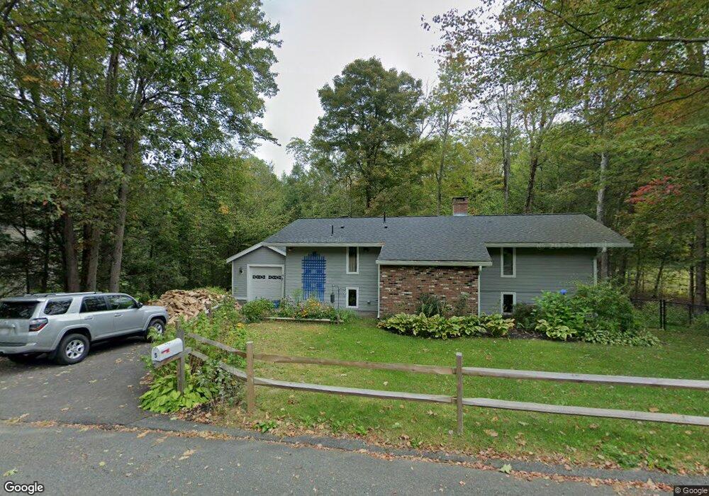
5 Laurel St Shelburne Falls, MA 01370
Buckland NeighborhoodEstimated Value: $405,000 - $523,000
4
Beds
3
Baths
1,752
Sq Ft
$272/Sq Ft
Est. Value
About This Home
This home is located at 5 Laurel St, Shelburne Falls, MA 01370 and is currently estimated at $475,854, approximately $271 per square foot. 5 Laurel St is a home with nearby schools including Mohawk Trail Regional High School.
Ownership History
Date
Name
Owned For
Owner Type
Purchase Details
Closed on
Jun 14, 2012
Sold by
Horrocks Patricia A
Bought by
Urell Patricia A and Urell James G
Current Estimated Value
Home Financials for this Owner
Home Financials are based on the most recent Mortgage that was taken out on this home.
Original Mortgage
$161,000
Outstanding Balance
$99,848
Interest Rate
5%
Mortgage Type
Adjustable Rate Mortgage/ARM
Estimated Equity
$376,006
Purchase Details
Closed on
Nov 4, 1988
Sold by
Dehoyos Raul
Bought by
Helenek James J
Create a Home Valuation Report for This Property
The Home Valuation Report is an in-depth analysis detailing your home's value as well as a comparison with similar homes in the area
Home Values in the Area
Average Home Value in this Area
Purchase History
| Date | Buyer | Sale Price | Title Company |
|---|---|---|---|
| Urell Patricia A | -- | -- | |
| Helenek James J | $107,500 | -- |
Source: Public Records
Mortgage History
| Date | Status | Borrower | Loan Amount |
|---|---|---|---|
| Open | Helenek James J | $161,000 | |
| Previous Owner | Helenek James J | $15,000 | |
| Previous Owner | Helenek James J | $79,750 |
Source: Public Records
Tax History Compared to Growth
Tax History
| Year | Tax Paid | Tax Assessment Tax Assessment Total Assessment is a certain percentage of the fair market value that is determined by local assessors to be the total taxable value of land and additions on the property. | Land | Improvement |
|---|---|---|---|---|
| 2025 | $6,471 | $382,000 | $59,100 | $322,900 |
| 2024 | $6,402 | $364,600 | $59,100 | $305,500 |
| 2023 | $4,869 | $287,400 | $59,100 | $228,300 |
| 2022 | $4,823 | $287,400 | $59,100 | $228,300 |
| 2021 | $4,497 | $252,100 | $59,100 | $193,000 |
| 2020 | $4,371 | $236,000 | $59,100 | $176,900 |
| 2019 | $4,173 | $224,000 | $59,100 | $164,900 |
| 2018 | $4,075 | $216,200 | $59,100 | $157,100 |
| 2017 | $3,902 | $216,200 | $59,100 | $157,100 |
| 2016 | $3,664 | $216,800 | $59,100 | $157,700 |
| 2015 | $3,572 | $212,600 | $59,100 | $153,500 |
Source: Public Records
Map
Nearby Homes
- 102 Elm St
- 10 Deerfield Ave Unit 5
- 10 Deerfield Ave Unit 2
- 105 - 107 Bridge St
- 33 Williams St
- 2151 Route 2
- 2155 Massachusetts 2
- 7 Hog Hollow Rd
- 156 Ashfield Rd
- 0 Upper St
- 31 W Oxbow Rd
- 24 W Oxbow Rd
- 0 Ashfield Rd
- 85 Dacey Rd
- 0 W Oxbow Rd Unit 73453651
- lot 1 Shelburne Falls Rd
- 240 Beldingville Rd
- 143 Charlemont Rd
- 3+5 Church St
- 0 Fiske Mill Rd