Estimated Value: $625,837 - $732,000
1
Bed
2
Baths
2,004
Sq Ft
$333/Sq Ft
Est. Value
About This Home
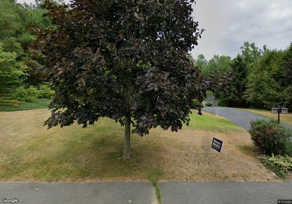
This home is located at 5 Merriam Way, Upton, MA 01568 and is currently estimated at $667,709, approximately $333 per square foot. 5 Merriam Way is a home located in Worcester County with nearby schools including Nipmuc Regional High School, Touchstone Community School, and Silver Spruce Montessori School.
Ownership History
Date
Name
Owned For
Owner Type
Purchase Details
Closed on
Jan 22, 2004
Sold by
Finnegan Richard B and Finnegan Sheila E
Bought by
Kelleher Daniel S and Kelleher Nicole A
Current Estimated Value
Purchase Details
Closed on
Dec 14, 2000
Sold by
Newman Thomas E and Newman Tina M
Bought by
Finnegan Ricahrd B and Finnegan Sheila E
Purchase Details
Closed on
Aug 1, 1997
Sold by
Benson Roger S and Benson Katherine
Bought by
Newman Thomas E and Newman Tina M
Purchase Details
Closed on
Nov 9, 1990
Sold by
Warren Street Nom Rt
Bought by
Benson Roger S
Create a Home Valuation Report for This Property
The Home Valuation Report is an in-depth analysis detailing your home's value as well as a comparison with similar homes in the area
Home Values in the Area
Average Home Value in this Area
Purchase History
| Date | Buyer | Sale Price | Title Company |
|---|---|---|---|
| Kelleher Daniel S | $390,000 | -- | |
| Finnegan Ricahrd B | $302,000 | -- | |
| Newman Thomas E | $212,000 | -- | |
| Benson Roger S | $173,000 | -- |
Source: Public Records
Mortgage History
| Date | Status | Borrower | Loan Amount |
|---|---|---|---|
| Open | Benson Roger S | $18,300 | |
| Open | Benson Roger S | $210,522 |
Source: Public Records
Tax History
| Year | Tax Paid | Tax Assessment Tax Assessment Total Assessment is a certain percentage of the fair market value that is determined by local assessors to be the total taxable value of land and additions on the property. | Land | Improvement |
|---|---|---|---|---|
| 2025 | $7,511 | $571,200 | $236,800 | $334,400 |
| 2024 | $7,523 | $549,900 | $230,200 | $319,700 |
| 2023 | $5,549 | $400,100 | $164,400 | $235,700 |
| 2022 | $6,674 | $398,000 | $164,400 | $233,600 |
| 2021 | $7,070 | $425,900 | $200,600 | $225,300 |
| 2020 | $7,095 | $412,000 | $190,700 | $221,300 |
| 2019 | $6,794 | $392,500 | $165,700 | $226,800 |
| 2018 | $7,378 | $428,200 | $172,300 | $255,900 |
| 2017 | $6,999 | $385,400 | $169,000 | $216,400 |
| 2016 | $6,828 | $367,900 | $135,800 | $232,100 |
| 2015 | $6,027 | $355,600 | $135,800 | $219,800 |
| 2014 | $5,843 | $344,700 | $129,000 | $215,700 |
Source: Public Records
Map
Nearby Homes
- 3 Driscoll Ln
- 10 Mechanic St
- 11 W Main St
- 13 Jonathans Way
- 63 Rockwood Ln Unit 63
- 74 Warren St
- Lot 108 W Main St
- 72 Main St
- 13 Plain St
- 6 Fieldstone Dr Unit 6
- 7 Fieldstone Dr Unit 7
- 8 Maple St
- 130 High St
- 27 James Rd Unit 1
- 27 James Rd Unit 2
- 31 Elm St
- 0 Emond St Unit 1
- 0 Emond St Unit 73480228
- 35 School St Unit 35
- 18 Boot Shop Rd Unit 40
- 3 Merriam Way
- 7 Merriam Way
- 149 Main St
- 149 Main St
- 4 Merriam Way
- 8 Merriam Way
- 1 Merriam Way
- 0 Merriam Way Lot #40
- 2 Merriam Way
- 10 Merriam Way
- 9 Merriam Way
- 162 Main St
- 162 Main St Unit 162
- 162 Main St Unit 1
- 3 Mechanic St
- 160 Main St
- 160 Main St Unit S.FAMILY
- 158 Main St
- 145 Main St Unit 3B
- 145 Main St Unit 3A
Your Personal Tour Guide
Ask me questions while you tour the home.