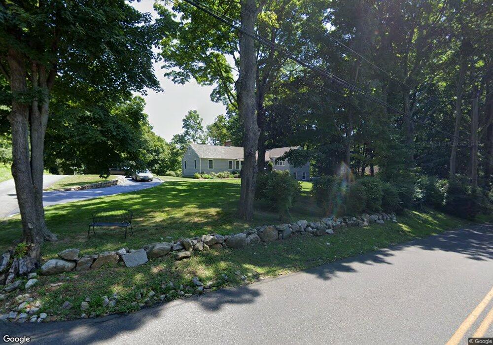
5 Overidge Ln Wilton, CT 06897
Estimated Value: $840,000 - $1,040,047
3
Beds
2
Baths
1,768
Sq Ft
$545/Sq Ft
Est. Value
About This Home
This home is located at 5 Overidge Ln, Wilton, CT 06897 and is currently estimated at $963,512, approximately $544 per square foot. 5 Overidge Ln is a home located in Fairfield County with nearby schools including Miller-Driscoll School, Cider Mill School, and Middlebrook School.
Ownership History
Date
Name
Owned For
Owner Type
Purchase Details
Closed on
Sep 16, 2013
Sold by
Wehrll Gregory
Bought by
Wehrli Gregory
Current Estimated Value
Purchase Details
Closed on
Apr 13, 2005
Sold by
Purdy Susan Linda and Lieberman Nancy Deborah
Bought by
Wehrli Gregory R
Home Financials for this Owner
Home Financials are based on the most recent Mortgage that was taken out on this home.
Original Mortgage
$485,000
Interest Rate
5.78%
Mortgage Type
Purchase Money Mortgage
Create a Home Valuation Report for This Property
The Home Valuation Report is an in-depth analysis detailing your home's value as well as a comparison with similar homes in the area
Home Values in the Area
Average Home Value in this Area
Purchase History
| Date | Buyer | Sale Price | Title Company |
|---|---|---|---|
| Wehrli Gregory | -- | -- | |
| Wehrli Gregory R | $650,000 | -- |
Source: Public Records
Mortgage History
| Date | Status | Borrower | Loan Amount |
|---|---|---|---|
| Previous Owner | Wehrli Gregory R | $485,000 |
Source: Public Records
Tax History Compared to Growth
Tax History
| Year | Tax Paid | Tax Assessment Tax Assessment Total Assessment is a certain percentage of the fair market value that is determined by local assessors to be the total taxable value of land and additions on the property. | Land | Improvement |
|---|---|---|---|---|
| 2025 | $12,834 | $525,770 | $291,900 | $233,870 |
| 2024 | $12,587 | $525,770 | $291,900 | $233,870 |
| 2023 | $10,784 | $368,550 | $279,230 | $89,320 |
| 2022 | $10,404 | $368,550 | $279,230 | $89,320 |
| 2021 | $3,785 | $368,550 | $279,230 | $89,320 |
| 2020 | $10,120 | $368,550 | $279,230 | $89,320 |
| 2019 | $5,536 | $368,550 | $279,230 | $89,320 |
| 2018 | $9,969 | $353,640 | $293,790 | $59,850 |
| 2017 | $5,564 | $353,640 | $293,790 | $59,850 |
| 2016 | $9,669 | $353,640 | $293,790 | $59,850 |
| 2015 | $9,488 | $353,640 | $293,790 | $59,850 |
| 2014 | $9,375 | $353,640 | $293,790 | $59,850 |
Source: Public Records
Map
Nearby Homes
- 76 Sturges Ridge Rd
- 55 Liberty St
- 41 Calvin Rd
- 185 Sturges Ridge Rd
- 30 Coley Rd
- 8 Hedgerow Common
- 335 Georgetown Rd
- 81 Norfield Rd
- 110 Dudley Rd
- 326 Georgetown Rd
- 193 Newtown Turnpike
- 93 E Meadow Rd
- 4 Trails End Rd
- 32 Kettle Creek Rd
- 10 Wilton Hunt Rd
- 29 Salem Rd
- 15 Mountain View Dr
- 30 Black Alder Ln
- 33 Cannon Rd
- 4 Good Hill Rd
- 34 Overidge Ln
- 25 Overidge Ln
- 65 Sturges Ridge Rd
- 11 Overidge Ln
- 58 Sturges Ridge Rd
- 73 Sturges Ridge Rd
- 19 Overidge Ln
- 57 Sturges Ridge Rd
- 50 Sturges Ridge Rd
- 17 Overidge Ln
- 18 Overidge Ln
- 110 Pond Rd
- 21 Overidge Ln
- 108 Pond Rd
- 88 Sturges Ridge Rd
- 79 Sturges Ridge Rd
- 48 Sturges Ridge Rd
- 47 Sturges Ridge Rd
- 16 Overidge Ln
- 40 Sturges Ridge Rd