50 King Point Way Edgartown, MA 02539
Edgartown NeighborhoodEstimated Value: $3,455,000 - $7,485,000
4
Beds
2
Baths
1,396
Sq Ft
$4,330/Sq Ft
Est. Value
About This Home
This home is located at 50 King Point Way, Edgartown, MA 02539 and is currently estimated at $6,044,376, approximately $4,329 per square foot. 50 King Point Way is a home located in Dukes County with nearby schools including Edgartown Elementary School and Martha's Vineyard Regional High School.
Ownership History
Date
Name
Owned For
Owner Type
Purchase Details
Closed on
Dec 20, 2012
Sold by
Thorne Gordon and Woodhull Anne
Bought by
King Point Way Rt and Thorne Gordon
Current Estimated Value
Purchase Details
Closed on
May 8, 1992
Bought by
Thorne Dune D and Woodhull Anne
Purchase Details
Closed on
Jun 6, 1989
Sold by
Wallace Kenneth C
Bought by
Wallace Thomas C
Create a Home Valuation Report for This Property
The Home Valuation Report is an in-depth analysis detailing your home's value as well as a comparison with similar homes in the area
Home Values in the Area
Average Home Value in this Area
Purchase History
| Date | Buyer | Sale Price | Title Company |
|---|---|---|---|
| King Point Way Rt | -- | -- | |
| Thorne Dune D | $450,000 | -- | |
| Wallace Thomas C | $303,333 | -- |
Source: Public Records
Tax History Compared to Growth
Tax History
| Year | Tax Paid | Tax Assessment Tax Assessment Total Assessment is a certain percentage of the fair market value that is determined by local assessors to be the total taxable value of land and additions on the property. | Land | Improvement |
|---|---|---|---|---|
| 2025 | $18,225 | $6,877,400 | $6,115,100 | $762,300 |
| 2024 | $17,436 | $6,837,500 | $6,115,100 | $722,400 |
| 2023 | $17,135 | $6,799,600 | $6,227,100 | $572,500 |
| 2022 | $18,812 | $6,208,678 | $5,837,278 | $371,400 |
| 2021 | $18,441 | $5,622,214 | $5,212,914 | $409,300 |
| 2020 | $20,760 | $6,196,912 | $5,901,412 | $295,500 |
| 2019 | $20,176 | $5,213,400 | $4,917,900 | $295,500 |
| 2018 | $20,021 | $5,173,300 | $4,917,900 | $255,400 |
| 2017 | $17,754 | $5,001,100 | $4,780,100 | $221,000 |
| 2016 | $16,470 | $4,549,800 | $4,347,100 | $202,700 |
| 2015 | $15,037 | $4,333,400 | $4,158,100 | $175,300 |
Source: Public Records
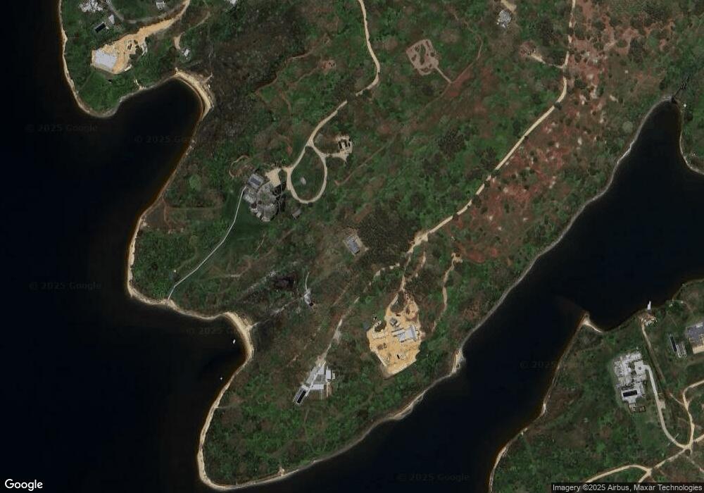
Map
Nearby Homes
- 61 Butlers Cove Rd
- 31 Butlers Cove Rd
- 39 Slough Cove Rd Unit 12.2 (part of)
- 39 Slough Cove Rd
- 29 Slough Cove Rd
- 33 Boldwater Rd
- 23 Thaxter Ln
- 8 Court St
- 8 Old Dunhams Corner Way
- 58 Road To the Plains
- 1 Wilsons Ln
- 3 Jacobs Neck Road (North Lot 1) Unit 2
- 63 Division Rd Unit 46
- 63 Division Rd
- 12 Duarte Cir
- 11A Duarte Cir
- 15 Night Heron Rd
- 2 Jacob's Neck Rd Unit 2
- 10 Duende Ln
- 42 Road To the Plains
- 79 Turkeyland Cove Rd
- 55 Kings Point Hwy
- 65 King Point Way
- 85 Turkeyland Cove Rd
- 30 King Point Way
- 89 Turkeyland Cove Rd
- 17 Forever Wild Way
- 17 Forever Wild Way
- 15 Forever Wild Way
- 90 Turkeyland Cove Rd
- 63 Turkeyland Cove Rd
- 16 Forever Wild Way
- 82 Turkeyland Cove Rd Ed310 Unit 1
- 20 King Point Way
- 86 Turkeyland Cove Rd
- 82 Turkeyland Cove Rd
- 0 Forever Wild Way
- Part of 16 Forever Wild Way
- 147 (lot) Forever Wild Way
- 46 Slough Cove Rd