Estimated Value: $379,000 - $571,000
Studio
--
Bath
1,577
Sq Ft
$312/Sq Ft
Est. Value
About This Home
This home is located at 50 S 7600 E, Kanab, UT 84741 and is currently estimated at $491,404, approximately $311 per square foot. 50 S 7600 E is a home located in Kane County with nearby schools including Kanab Elementary School, Kanab Middle School, and Kanab High School.
Ownership History
Date
Name
Owned For
Owner Type
Purchase Details
Closed on
Sep 20, 2010
Sold by
Citimortgage Inc
Bought by
Citicorp Trust Bank Fsb
Current Estimated Value
Purchase Details
Closed on
Jul 1, 2010
Sold by
Yale Clayton W and Cortright Laura P
Bought by
Oprandy Nicholas and Oprandy Christiana F
Home Financials for this Owner
Home Financials are based on the most recent Mortgage that was taken out on this home.
Original Mortgage
$280,000
Interest Rate
4.82%
Create a Home Valuation Report for This Property
The Home Valuation Report is an in-depth analysis detailing your home's value as well as a comparison with similar homes in the area
Purchase History
| Date | Buyer | Sale Price | Title Company |
|---|---|---|---|
| Citicorp Trust Bank Fsb | -- | -- | |
| Oprandy Nicholas | -- | -- |
Source: Public Records
Mortgage History
| Date | Status | Borrower | Loan Amount |
|---|---|---|---|
| Previous Owner | Oprandy Nicholas | $280,000 |
Source: Public Records
Tax History
| Year | Tax Paid | Tax Assessment Tax Assessment Total Assessment is a certain percentage of the fair market value that is determined by local assessors to be the total taxable value of land and additions on the property. | Land | Improvement |
|---|---|---|---|---|
| 2025 | $1,781 | $397,152 | $165,060 | $232,092 |
| 2024 | $1,684 | $204,576 | $86,078 | $118,498 |
| 2023 | $1,516 | $193,803 | $86,078 | $107,725 |
| 2022 | $1,631 | $184,574 | $81,979 | $102,595 |
| 2021 | $1,493 | $252,831 | $114,655 | $138,176 |
| 2020 | $1,404 | $231,490 | $99,700 | $131,790 |
| 2019 | $1,444 | $231,490 | $99,700 | $131,790 |
| 2018 | $1,457 | $231,490 | $99,700 | $131,790 |
| 2017 | $1,522 | $231,490 | $99,700 | $131,790 |
| 2016 | $1,564 | $231,490 | $99,700 | $131,790 |
| 2015 | $1,723 | $258,878 | $90,963 | $167,915 |
| 2014 | $1,723 | $258,878 | $90,963 | $167,915 |
| 2013 | -- | $166,658 | $0 | $0 |
Source: Public Records
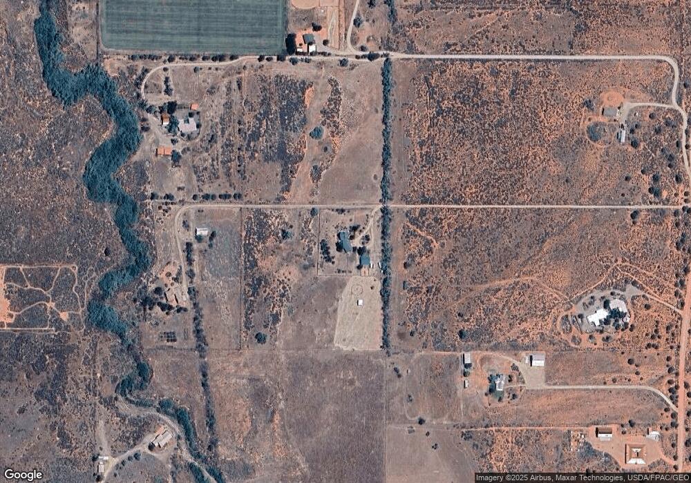
Map
Nearby Homes
- 0 None Unit 1408648
- 205 Copper Ridge Rd
- 235 Copper Ridge Rd
- 235 S Copper Ridge Rd
- 6178 Zion Rd
- 6178 E Zion Rd
- 1120 Bryce Canyon Way
- 6026 Zion Rd
- 6026 E Zion Rd
- Lot 20 Lone Spur
- Lot 19 Lone Spur
- Lot 11 Lone Spur
- Lot 8 Rowel
- Lot 10 Rowel
- Lot 9 Rowel
- Lot 6 Rowel
- Lot 7 Rowel
- 5120 Grande Vermillion Ave
- 0 Lot 127 Vermillion Cliff Estates
- Lot 1 Boulder Bluff Blvd
- 40 S 7440 E
- 7450 E E 50 N N
- 326 S 7800 E
- 77 S Crescent Butte Trail
- 150 S Rosebud Ln
- 7555 E E 175 N N
- 68 N 7800 E
- 9 N Johnson Canyon Rd
- 7310 Creek Ln
- 120 S Crescent Butte Trail
- 150 S Crescent Butte Trail
- 7430 Creek Ln
- 7355 E Sunflower Ln
- 276 S 7800 E
- 355 N Crescent Butte Trail
- 7360 Sunflower Ln
- 7300 E 100 N
- 60 N 7800 E
- 276 S Crescent Butte Trail
- 7390 Creek Ln