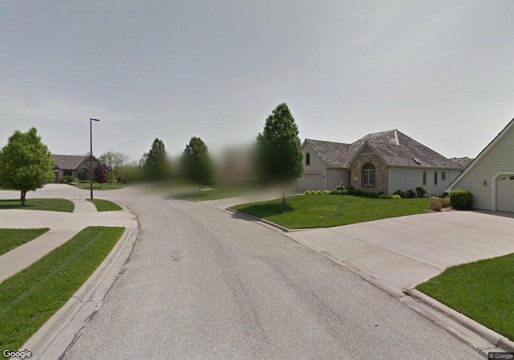
5005 Jeffries Ct Lawrence, KS 66047
West Lawrence NeighborhoodEstimated Value: $576,118 - $673,000
3
Beds
3
Baths
2,748
Sq Ft
$232/Sq Ft
Est. Value
About This Home
This home is located at 5005 Jeffries Ct, Lawrence, KS 66047 and is currently estimated at $637,780, approximately $232 per square foot. 5005 Jeffries Ct is a home located in Douglas County with nearby schools including Langston Hughes Elementary School, Southwest Middle School, and Lawrence High School.
Ownership History
Date
Name
Owned For
Owner Type
Purchase Details
Closed on
Apr 10, 2020
Sold by
Dunham Gregory K
Bought by
Dunham Gregory K and Peace Anna C
Current Estimated Value
Home Financials for this Owner
Home Financials are based on the most recent Mortgage that was taken out on this home.
Original Mortgage
$172,900
Interest Rate
3.2%
Mortgage Type
New Conventional
Create a Home Valuation Report for This Property
The Home Valuation Report is an in-depth analysis detailing your home's value as well as a comparison with similar homes in the area
Home Values in the Area
Average Home Value in this Area
Purchase History
| Date | Buyer | Sale Price | Title Company |
|---|---|---|---|
| Dunham Gregory K | -- | None Available |
Source: Public Records
Mortgage History
| Date | Status | Borrower | Loan Amount |
|---|---|---|---|
| Closed | Dunham Gregory K | $172,900 |
Source: Public Records
Tax History
| Year | Tax Paid | Tax Assessment Tax Assessment Total Assessment is a certain percentage of the fair market value that is determined by local assessors to be the total taxable value of land and additions on the property. | Land | Improvement |
|---|---|---|---|---|
| 2025 | $9,042 | $71,864 | $9,200 | $62,664 |
| 2024 | $9,056 | $71,924 | $8,625 | $63,299 |
| 2023 | $8,928 | $68,828 | $8,625 | $60,203 |
| 2022 | $7,156 | $54,913 | $8,632 | $46,281 |
| 2021 | $6,736 | $50,221 | $8,632 | $41,589 |
| 2020 | $6,603 | $49,485 | $8,632 | $40,853 |
| 2019 | $6,589 | $49,427 | $8,632 | $40,795 |
| 2018 | $6,614 | $49,255 | $8,632 | $40,623 |
| 2017 | $6,636 | $48,864 | $8,632 | $40,232 |
| 2016 | $5,888 | $45,310 | $6,901 | $38,409 |
| 2015 | $5,674 | $43,665 | $6,901 | $36,764 |
| 2014 | $5,752 | $44,689 | $6,901 | $37,788 |
Source: Public Records
Map
Nearby Homes
- 1601 Research Park Dr
- 5020 W 18th St
- 1801 Burning Tree Dr
- 4720 Carmel Place
- 5727 Villa Dr
- 1604 Bob White Dr
- 5710 Goff Ct
- 1315 Research Park Dr
- 1347 Kanza Dr
- 2009 Carmel Dr
- 1709 Lake Alvamar Dr
- 4500 Bob Billings Pkwy Unit 403
- 1608 Prestwick Dr
- 1216 Waverly Dr
- 1727 Lake Alvamar Dr
- 1609 Prestwick Dr
- 5524 Chamney Ct
- 1651 George Williams Way
- 1639 George Williams Way
- 4412 Nicklaus Dr
- 5009 Jeffries Ct
- 5001 Jeffries Ct
- 5004 Keystone Ct
- 5013 Jeffries Ct
- 5008 Keystone Ct
- 5014 Jeffries Ct
- 5017 Jeffries Ct
- 5010 Jeffries Ct
- 5006 Jeffries Ct
- 5002 Jeffries Ct
- 5001 Keystone Ct
- 5018 Jeffries Ct
- 5018 Keystone Ct
- 5021 Jeffries Ct
- 5005 Keystone Ct
- 1604 Foxfire Dr
- 1600 Foxfire Dr
- 5013 Keystone Ct
- 1528 Foxfire Dr
- 5017 Keystone Ct
Your Personal Tour Guide
Ask me questions while you tour the home.