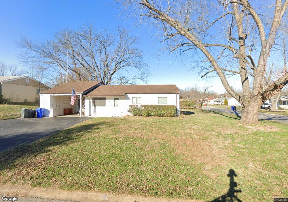
501 Hill Dr Eureka, MO 63025
Estimated Value: $214,464 - $261,000
3
Beds
1
Bath
1,248
Sq Ft
$185/Sq Ft
Est. Value
About This Home
This home is located at 501 Hill Dr, Eureka, MO 63025 and is currently estimated at $231,366, approximately $185 per square foot. 501 Hill Dr is a home located in St. Louis County with nearby schools including Geggie Elementary School, Lasalle Springs Middle School, and Eureka Senior High School.
Ownership History
Date
Name
Owned For
Owner Type
Purchase Details
Closed on
Nov 27, 2019
Sold by
Friedmann Jeffrey O and Friedmann Monica M
Bought by
Friedmann Daniel and Friedmann Jennifer
Current Estimated Value
Home Financials for this Owner
Home Financials are based on the most recent Mortgage that was taken out on this home.
Original Mortgage
$77,200
Outstanding Balance
$52,127
Interest Rate
3.7%
Mortgage Type
New Conventional
Estimated Equity
$179,239
Create a Home Valuation Report for This Property
The Home Valuation Report is an in-depth analysis detailing your home's value as well as a comparison with similar homes in the area
Home Values in the Area
Average Home Value in this Area
Purchase History
| Date | Buyer | Sale Price | Title Company |
|---|---|---|---|
| Friedmann Daniel | $105,000 | Servicelink Llc |
Source: Public Records
Mortgage History
| Date | Status | Borrower | Loan Amount |
|---|---|---|---|
| Open | Friedmann Daniel | $77,200 |
Source: Public Records
Tax History
| Year | Tax Paid | Tax Assessment Tax Assessment Total Assessment is a certain percentage of the fair market value that is determined by local assessors to be the total taxable value of land and additions on the property. | Land | Improvement |
|---|---|---|---|---|
| 2025 | $2,542 | $37,030 | $16,550 | $20,480 |
| 2024 | $2,542 | $34,050 | $12,410 | $21,640 |
| 2023 | $2,544 | $34,050 | $12,410 | $21,640 |
| 2022 | $2,246 | $27,970 | $12,410 | $15,560 |
| 2021 | $2,230 | $27,970 | $12,410 | $15,560 |
| 2020 | $1,973 | $23,660 | $12,410 | $11,250 |
| 2019 | $1,979 | $23,660 | $12,410 | $11,250 |
| 2018 | $1,832 | $20,670 | $9,100 | $11,570 |
| 2017 | $1,765 | $20,670 | $9,100 | $11,570 |
| 2016 | $1,483 | $16,700 | $6,610 | $10,090 |
Source: Public Records
Map
Nearby Homes
- 1 Fairway Estates Ct
- 345 Palisades Ridge Ct
- 329 Kevin Jon Ct
- 412 Parkview Ln
- 830 Lower Field Ln
- 83 Old Farmhouse Way
- 826 Lower Field Ln
- 318 Kevin Jon Ct
- 75 Old Farmhouse Way
- 808 Lower Field Ln
- 15 Rockwood Place Ct
- 126 Shaw Dr
- 369 Cerny Ave
- 637 N Virginia Ave
- 362 Cerny Ave
- 16805 Enderbush Ln
- 571 Bluffs View Ct
- 500 Overlook Terrace Ct
- 814 Eureka Rd
- 402 Wallach Dr
Your Personal Tour Guide
Ask me questions while you tour the home.