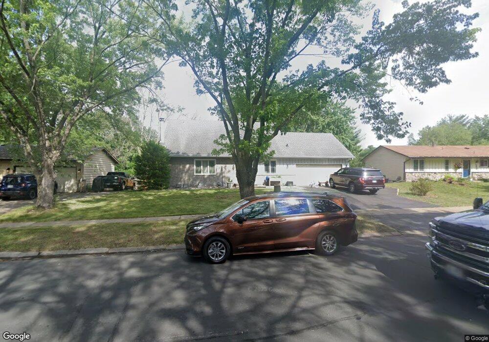
5016 142nd Path W Saint Paul, MN 55124
Estimated Value: $421,572 - $439,000
4
Beds
2
Baths
2,272
Sq Ft
$189/Sq Ft
Est. Value
About This Home
This home is located at 5016 142nd Path W, Saint Paul, MN 55124 and is currently estimated at $429,143, approximately $188 per square foot. 5016 142nd Path W is a home located in Dakota County with nearby schools including Diamond Path Elementary School of International Studies, Scott Highlands Middle School, and Eastview Senior High School.
Ownership History
Date
Name
Owned For
Owner Type
Purchase Details
Closed on
Nov 25, 2025
Sold by
Ament Sara and Ament Peter John
Bought by
Hawe Annmarie
Current Estimated Value
Home Financials for this Owner
Home Financials are based on the most recent Mortgage that was taken out on this home.
Original Mortgage
$369,000
Outstanding Balance
$369,000
Interest Rate
6.19%
Mortgage Type
New Conventional
Estimated Equity
$60,143
Purchase Details
Closed on
Oct 27, 2021
Sold by
Rexine Wiliam James and Rexine Virginia M
Bought by
Ament Sara
Home Financials for this Owner
Home Financials are based on the most recent Mortgage that was taken out on this home.
Original Mortgage
$363,199
Interest Rate
2.99%
Mortgage Type
FHA
Create a Home Valuation Report for This Property
The Home Valuation Report is an in-depth analysis detailing your home's value as well as a comparison with similar homes in the area
Home Values in the Area
Average Home Value in this Area
Purchase History
| Date | Buyer | Sale Price | Title Company |
|---|---|---|---|
| Hawe Annmarie | $410,000 | Great North Title | |
| Ament Sara | $369,900 | Burnet Title |
Source: Public Records
Mortgage History
| Date | Status | Borrower | Loan Amount |
|---|---|---|---|
| Open | Hawe Annmarie | $369,000 | |
| Previous Owner | Ament Sara | $363,199 |
Source: Public Records
Tax History Compared to Growth
Tax History
| Year | Tax Paid | Tax Assessment Tax Assessment Total Assessment is a certain percentage of the fair market value that is determined by local assessors to be the total taxable value of land and additions on the property. | Land | Improvement |
|---|---|---|---|---|
| 2024 | $4,358 | $369,500 | $89,500 | $280,000 |
| 2023 | $4,358 | $385,900 | $89,700 | $296,200 |
| 2022 | $3,774 | $383,400 | $89,400 | $294,000 |
| 2021 | $3,568 | $329,500 | $77,800 | $251,700 |
| 2020 | $3,660 | $306,500 | $74,100 | $232,400 |
| 2019 | $3,209 | $305,000 | $70,500 | $234,500 |
| 2018 | $3,166 | $281,700 | $67,200 | $214,500 |
| 2017 | $3,132 | $267,100 | $64,000 | $203,100 |
| 2016 | $3,074 | $252,100 | $60,900 | $191,200 |
| 2015 | $2,847 | $230,137 | $56,010 | $174,127 |
| 2014 | -- | $214,332 | $53,490 | $160,842 |
| 2013 | -- | $192,096 | $48,572 | $143,524 |
Source: Public Records
Map
Nearby Homes
- 13877 Elkhart Rd
- 14387 Embassy Way
- 13937 Ember Ct
- 5357 Upper 147th St W
- 5167 148th St W
- 14162 Dearborn Path
- 14554 Denver Ct
- 5657 144th St W
- 14527 Eureka Ct
- 14220 Davenport Path
- 14797 Lower Endicott Way
- 22367 Denmark Ct
- 14757 Excelsior Ln Unit 105
- 14742 Endicott Way
- 14720 Excelsior Ln Unit 28
- 4176 143rd St W
- 5099 151st St W
- 15056 Dunwood Trail Unit 19
- 13641 Everton Ave
- 13573 Everton Ave
- 5012 142nd Path W
- 5020 142nd Path W
- 14175 Drexel Ct
- 14187 Drexel Ct
- 5008 142nd Path W
- 5026 142nd Path W
- 14159 Drexel Ct
- 14199 Drexel Ct
- 4998 142nd Path W
- 5009 142nd Path W
- 5015 142nd Path W
- 5019 142nd Path W
- 5011 142nd Path W
- 14145 Drexel Ct
- 5030 142nd Path W
- 5005 142nd Path W
- 4982 142nd Path W
- 14215 Drexel Ct
- 5029 142nd Path W
- 14180 Drexel Ct