5025 Cattail Dr NW Hackensack, MN 56452
Estimated Value: $866,000 - $1,422,000
3
Beds
3
Baths
1,580
Sq Ft
$692/Sq Ft
Est. Value
About This Home
This home is located at 5025 Cattail Dr NW, Hackensack, MN 56452 and is currently estimated at $1,092,985, approximately $691 per square foot. 5025 Cattail Dr NW is a home located in Cass County with nearby schools including WHA Elementary School and Walker Hackensack Akeley High School.
Ownership History
Date
Name
Owned For
Owner Type
Purchase Details
Closed on
Apr 17, 2019
Sold by
William Ellis Bradt T
Bought by
Ducharme John T and Duhame Sheryl M
Current Estimated Value
Purchase Details
Closed on
May 16, 2017
Sold by
Brandt William E and Brandt Louise A
Bought by
Brandt Louise A and Brandt William E
Purchase Details
Closed on
Apr 11, 2016
Sold by
Brandt Kathryn L
Bought by
Brandt William E and Brandt Louise A
Purchase Details
Closed on
Dec 24, 2015
Sold by
Brandt Robert W and Brandt Kristi L
Bought by
Brandt William E and Brandt Louise A
Create a Home Valuation Report for This Property
The Home Valuation Report is an in-depth analysis detailing your home's value as well as a comparison with similar homes in the area
Home Values in the Area
Average Home Value in this Area
Purchase History
| Date | Buyer | Sale Price | Title Company |
|---|---|---|---|
| Ducharme John T | $735,000 | First American Title | |
| Brandt Louise A | -- | None Available | |
| Brandt William E | -- | None Available | |
| Brandt William E | -- | None Available |
Source: Public Records
Tax History Compared to Growth
Tax History
| Year | Tax Paid | Tax Assessment Tax Assessment Total Assessment is a certain percentage of the fair market value that is determined by local assessors to be the total taxable value of land and additions on the property. | Land | Improvement |
|---|---|---|---|---|
| 2024 | $5,066 | $928,700 | $462,800 | $465,900 |
| 2023 | $4,392 | $819,900 | $373,000 | $446,900 |
| 2022 | $5,402 | $819,900 | $373,000 | $446,900 |
| 2021 | $5,466 | $751,400 | $453,600 | $297,800 |
| 2020 | $4,862 | $740,300 | $453,600 | $286,700 |
| 2019 | $4,826 | $728,300 | $453,600 | $274,700 |
| 2018 | $4,592 | $696,000 | $422,700 | $273,300 |
| 2017 | $4,626 | $696,000 | $422,700 | $273,300 |
| 2016 | $4,426 | $0 | $0 | $0 |
| 2015 | $4,426 | $686,800 | $422,700 | $264,100 |
| 2014 | $4,006 | $0 | $0 | $0 |
Source: Public Records
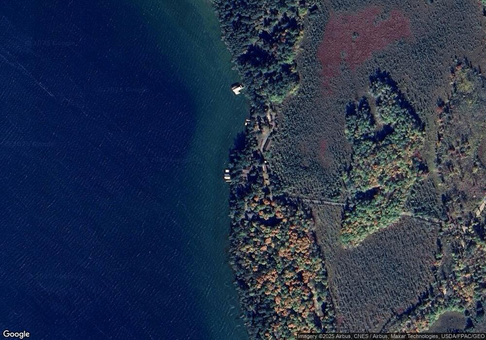
Map
Nearby Homes
- 5034 Lower Ten Mile Lake Rd NW
- Lot 2 Butternut Ct NW
- 4017 N Stony Dr NW
- 5020 Woodland Dr NW
- 4059 Hiram Township 9
- 239 1st St N
- TBD Lower Ten Mile Lake Rd NW
- 6444 Cougar Trail NW
- XXX State 371 S
- 321 State 371 S
- 209 Park Ave W
- 371 Ste
- TBD Kestrel Trail NW
- TBD NW Miller Bay Ln
- 6686 Minnesota 371
- 6724 48th Ave NW
- 5309 Howard Lake Rd NW
- TBD-2 Christmas Point Rd NW
- 3106 State 371 NW
- 5159 Rocky Ridge Rd NW
- 5019 Cattail Dr NW
- 5033 Cattail Dr NW
- 5072 Linnaea Ln NW
- 4833 Boone Point Rd NW
- 5048 Linnaea Ln NW
- 5031 Boone Point Rd NW
- 4825 Boone Point Rd NW
- 5065 Boone Point Rd NW
- 4817 Boone Point Rd NW
- 4807 Boone Point Rd NW
- 5087 Kenabeek Trail NW
- 5091 Kenabeek Trail NW
- 5093 Kenabeek Trail NW
- 5109 Kenabeek Trail NW
- 000 NW Boone Point Rd
- 5101 Kenabeek Trail NW
- 5121 Boone Point Rd NW
- 5139 Boone Point Rd NW
- 5096 Bailey Shores Dr NW
- 5102 Bailey Shores Dr NW