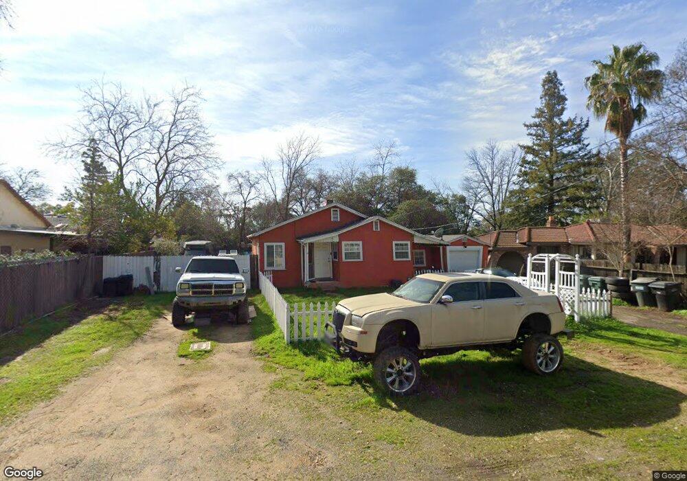
5032 Robertson Ave Carmichael, CA 95608
Greenwood NeighborhoodEstimated Value: $364,938 - $458,000
2
Beds
1
Bath
851
Sq Ft
$478/Sq Ft
Est. Value
About This Home
This home is located at 5032 Robertson Ave, Carmichael, CA 95608 and is currently estimated at $406,485, approximately $477 per square foot. 5032 Robertson Ave is a home located in Sacramento County with nearby schools including Starr King K-8, Rio Americano High School, and Visions In Education School.
Ownership History
Date
Name
Owned For
Owner Type
Purchase Details
Closed on
Dec 21, 2021
Sold by
Lim Clement C
Bought by
Lim Family Trust
Current Estimated Value
Purchase Details
Closed on
Sep 21, 2007
Sold by
Lim Clement C
Bought by
Lim Clement C and Lim Aida
Home Financials for this Owner
Home Financials are based on the most recent Mortgage that was taken out on this home.
Original Mortgage
$162,000
Interest Rate
6.61%
Mortgage Type
Purchase Money Mortgage
Create a Home Valuation Report for This Property
The Home Valuation Report is an in-depth analysis detailing your home's value as well as a comparison with similar homes in the area
Home Values in the Area
Average Home Value in this Area
Purchase History
| Date | Buyer | Sale Price | Title Company |
|---|---|---|---|
| Lim Family Trust | -- | Patton Sullivan Brodehl Llp | |
| Lim Clement C | -- | Fidelity National Title Co | |
| Lim Clement C | -- | Fidelity National Title Co | |
| Lim Clement C | $180,000 | Fidelity National Title Co |
Source: Public Records
Mortgage History
| Date | Status | Borrower | Loan Amount |
|---|---|---|---|
| Previous Owner | Lim Clement C | $162,000 |
Source: Public Records
Tax History
| Year | Tax Paid | Tax Assessment Tax Assessment Total Assessment is a certain percentage of the fair market value that is determined by local assessors to be the total taxable value of land and additions on the property. | Land | Improvement |
|---|---|---|---|---|
| 2025 | $3,111 | $236,413 | $210,153 | $26,260 |
| 2024 | $3,111 | $231,779 | $206,033 | $25,746 |
| 2023 | $2,776 | $227,236 | $201,994 | $25,242 |
| 2022 | $2,760 | $222,782 | $198,034 | $24,748 |
| 2021 | $2,715 | $218,414 | $194,151 | $24,263 |
| 2020 | $2,665 | $216,176 | $192,161 | $24,015 |
| 2019 | $2,613 | $211,939 | $188,394 | $23,545 |
| 2018 | $2,580 | $207,784 | $184,700 | $23,084 |
| 2017 | $2,558 | $203,711 | $181,079 | $22,632 |
| 2016 | $2,392 | $199,718 | $177,529 | $22,189 |
| 2015 | $2,350 | $196,719 | $174,863 | $21,856 |
| 2014 | $2,301 | $192,866 | $171,438 | $21,428 |
Source: Public Records
Map
Nearby Homes
- 4951 Kurz Cir
- 3213 Smathers Way
- 3219 Smathers Way
- 5113 Walnut Garden Ct
- 3041 Root Ave
- 4838 Robertson Ave
- 4837 Donnie Lyn Way
- 5354 Angelina Ave
- 5151 Janell Way
- 3312 Jayanne Way
- 3332 Jayanne Way
- 3430 Nadine St
- 3431 Hunter Ln
- 2855 La Colina Way
- 2905 Garfield Ave
- 3204 Mapes Ct
- 2940 Garfield Ave
- 4719 Eli Ct
- 2611 Foothill Dr
- 4740 Whitney Ave
- 5030 Robertson Ave
- 3045 Walnut Ave
- 3039 Walnut Ave
- 3027 Walnut Ave
- 5024 Robertson Ave
- 5027 Point Prim Ct
- 3101 Walnut Ave
- 3025 Walnut Ave
- 5037 Robertson Ave
- 5022 Robertson Ave
- 5031 Point Prim Ct
- 5029 Robertson Ave
- 3105 Walnut Ave
- 5023 Point Prim Ct
- 3021 Walnut Ave
- 5100 Robertson Ave
- 3040 Walnut Ave
- 5017 Robertson Ave
- 3036 Walnut Ave
Your Personal Tour Guide
Ask me questions while you tour the home.