504 Carter Dr Northfield, MN 55057
Estimated Value: $368,000 - $398,000
4
Beds
3
Baths
1,288
Sq Ft
$301/Sq Ft
Est. Value
About This Home
This home is located at 504 Carter Dr, Northfield, MN 55057 and is currently estimated at $387,046, approximately $300 per square foot. 504 Carter Dr is a home located in Rice County with nearby schools including Bridgewater Elementary School, Northfield Middle School, and Northfield Senior High School.
Ownership History
Date
Name
Owned For
Owner Type
Purchase Details
Closed on
Jun 21, 2018
Sold by
Torstenson Kari Rae
Bought by
Galisweski Braun and Cvijetinovic Siadjana
Current Estimated Value
Home Financials for this Owner
Home Financials are based on the most recent Mortgage that was taken out on this home.
Original Mortgage
$246,000
Interest Rate
4.6%
Mortgage Type
New Conventional
Purchase Details
Closed on
Mar 31, 2014
Sold by
Glampe Michael R and Glampe Kathy R
Bought by
Torstenson Kari R
Purchase Details
Closed on
May 25, 1999
Sold by
Jasnoch Construction Inc
Bought by
Glampe Michael R and Glampe Kathy R
Purchase Details
Closed on
Sep 9, 1998
Sold by
Jasnoch Family Ltd Partnership
Bought by
Jasnoch Construction Inc
Create a Home Valuation Report for This Property
The Home Valuation Report is an in-depth analysis detailing your home's value as well as a comparison with similar homes in the area
Home Values in the Area
Average Home Value in this Area
Purchase History
| Date | Buyer | Sale Price | Title Company |
|---|---|---|---|
| Galisweski Braun | $266,000 | Trademark Title Svcs Inc | |
| Torstenson Kari R | $210,000 | -- | |
| Glampe Michael R | $149,000 | -- | |
| Jasnoch Construction Inc | $35,000 | -- |
Source: Public Records
Mortgage History
| Date | Status | Borrower | Loan Amount |
|---|---|---|---|
| Previous Owner | Galisweski Braun | $246,000 |
Source: Public Records
Tax History
| Year | Tax Paid | Tax Assessment Tax Assessment Total Assessment is a certain percentage of the fair market value that is determined by local assessors to be the total taxable value of land and additions on the property. | Land | Improvement |
|---|---|---|---|---|
| 2025 | $6,194 | $370,700 | $89,500 | $281,200 |
| 2024 | $6,194 | $344,800 | $83,000 | $261,800 |
| 2023 | $4,908 | $344,800 | $83,000 | $261,800 |
| 2022 | $4,410 | $310,400 | $74,300 | $236,100 |
| 2021 | $4,292 | $273,300 | $63,300 | $210,000 |
| 2020 | $4,054 | $263,000 | $63,300 | $199,700 |
| 2019 | $3,704 | $244,800 | $61,200 | $183,600 |
| 2018 | $3,792 | $222,800 | $56,600 | $166,200 |
| 2017 | $3,442 | $210,800 | $52,400 | $158,400 |
| 2016 | $3,368 | $207,300 | $52,400 | $154,900 |
| 2015 | $3,138 | $192,600 | $52,400 | $140,200 |
| 2014 | -- | $195,700 | $52,400 | $143,300 |
Source: Public Records
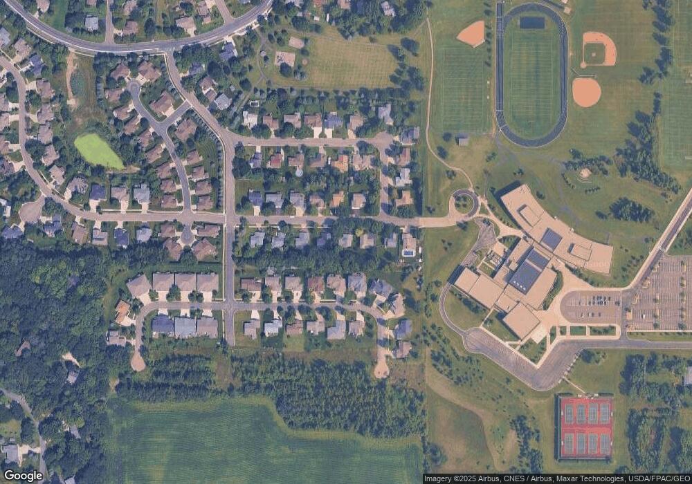
Map
Nearby Homes
- 2215 Greenfield Dr E
- 2106 Sunnyview Ln
- 1802 Van Buren Ct
- 2100 Taylor Ct
- 2105 Lincoln St S
- 1808 Estate Ln
- 2432 Aspen St
- 1908 Sibley View Ln
- 1513 Senate Ln
- 2505 Aspen St
- 2204 Valley Dr
- 2300 Pepper Ridge Ln
- 318 Ford St E
- 402 Ford St E
- 406 Ford St E
- 421 Ford St E
- 410 Ford St E
- 425 Ford St E
- 1313 Constitutional Dr
- 501 Ford St E
- 500 Carter Dr
- 508 Carter Dr
- 2221 Greenfield Dr E
- 2225 Greenfield Dr E
- 416 Carter Dr
- 512 Carter Dr
- 505 Carter Dr
- 501 Carter Dr
- 2229 Greenfield Dr E
- 509 Carter Dr
- 2213 Greenfield Dr E
- 412 Carter Dr
- 600 Carter Dr
- 513 Carter Dr
- 2207 Greenfield Dr E
- 2113 Johnson St
- 2303 Greenfield Dr E
- 504 Hayes Dr
- 500 Hayes Dr
- 601 Carter Dr
Your Personal Tour Guide
Ask me questions while you tour the home.