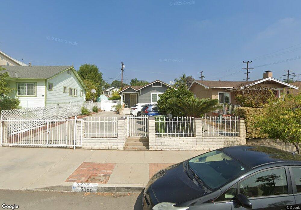
5055 Range View Ave Los Angeles, CA 90042
Eagle Rock NeighborhoodEstimated Value: $1,241,817 - $1,538,000
4
Beds
4
Baths
1,432
Sq Ft
$936/Sq Ft
Est. Value
About This Home
This home is located at 5055 Range View Ave, Los Angeles, CA 90042 and is currently estimated at $1,340,954, approximately $936 per square foot. 5055 Range View Ave is a home located in Los Angeles County with nearby schools including Buchanan Street Elementary and Franklin Middle School & High School.
Ownership History
Date
Name
Owned For
Owner Type
Purchase Details
Closed on
Mar 18, 2002
Sold by
Santiago Maria Grace
Bought by
Barcelona Guillermo
Current Estimated Value
Home Financials for this Owner
Home Financials are based on the most recent Mortgage that was taken out on this home.
Original Mortgage
$195,700
Outstanding Balance
$80,540
Interest Rate
6.85%
Estimated Equity
$1,260,414
Purchase Details
Closed on
Sep 10, 2000
Sold by
Santiago Maria Grace and The Cecil A Hernball Declarati
Bought by
Santiago Maria Grace
Create a Home Valuation Report for This Property
The Home Valuation Report is an in-depth analysis detailing your home's value as well as a comparison with similar homes in the area
Home Values in the Area
Average Home Value in this Area
Purchase History
| Date | Buyer | Sale Price | Title Company |
|---|---|---|---|
| Barcelona Guillermo | $206,000 | First American Title Co | |
| Santiago Maria Grace | -- | -- |
Source: Public Records
Mortgage History
| Date | Status | Borrower | Loan Amount |
|---|---|---|---|
| Open | Barcelona Guillermo | $195,700 |
Source: Public Records
Tax History
| Year | Tax Paid | Tax Assessment Tax Assessment Total Assessment is a certain percentage of the fair market value that is determined by local assessors to be the total taxable value of land and additions on the property. | Land | Improvement |
|---|---|---|---|---|
| 2025 | $4,495 | $367,034 | $212,868 | $154,166 |
| 2024 | $4,495 | $359,839 | $208,695 | $151,144 |
| 2023 | $4,410 | $352,784 | $204,603 | $148,181 |
| 2022 | $4,206 | $345,868 | $200,592 | $145,276 |
| 2021 | $4,151 | $339,087 | $196,659 | $142,428 |
| 2019 | $4,027 | $329,031 | $190,827 | $138,204 |
| 2018 | $3,914 | $322,581 | $187,086 | $135,495 |
| 2016 | $3,731 | $310,057 | $179,822 | $130,235 |
| 2015 | $3,676 | $305,400 | $177,121 | $128,279 |
| 2014 | $3,694 | $299,419 | $173,652 | $125,767 |
Source: Public Records
Map
Nearby Homes
- 5132 Range View Ave
- 5007 Almaden Dr
- 4920 Stratford Rd
- 5240 Barker Dr
- 1932 Phillips Way
- 1942 Phillips Way
- 1938 Phillips Way
- 5001 Buchanan St
- 1817 N Avenue 55
- 5144 Buchanan St
- 4816 Stratford Rd
- 5330 Lincoln Ave
- 1048 Dexter St
- 5055 Hub St
- 5118 Hub St
- 1393 N Avenue 57
- 5349 Baltimore St
- 1411 Armadale Ave
- 829 N Avenue 53
- 1333 Wildwood Dr
- 5053 Range View Ave
- 5061 Range View Ave
- 5049 Range View Ave
- 1609 N Avenue 51
- 1609 North Avenue 51
- 5063 Range View Ave
- 5045 Range View Ave
- 1615 N Avenue 51
- 1615 North Avenue 51
- 5058 Almaden Dr
- 5062 Almaden Dr
- 5054 Almaden Dr
- 5050 Almaden Dr
- 5041 Range View Ave
- 5066 Almaden Dr
- 5046 Almaden Dr
- 5103 Range View Ave
- 5046 Range View Ave
- 5044 Range View Ave
- 5050 Range View Ave
Your Personal Tour Guide
Ask me questions while you tour the home.