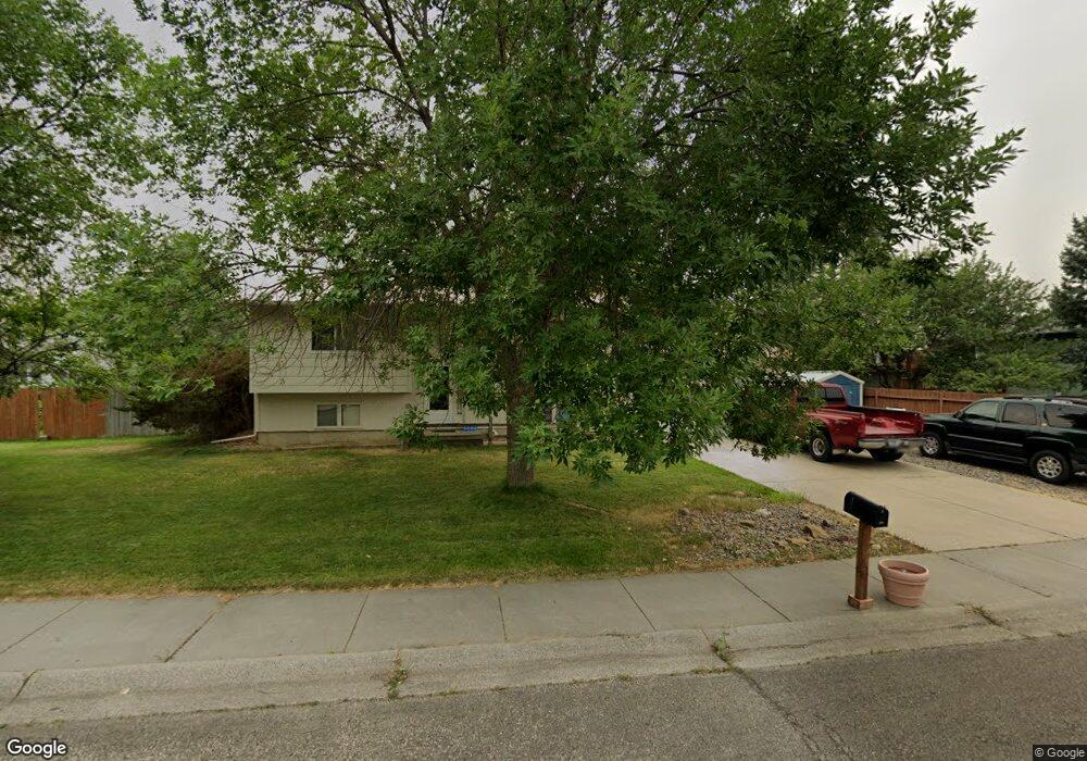
506 Caravan Ave Billings, MT 59105
Billings Heights NeighborhoodEstimated Value: $389,268 - $438,000
5
Beds
2
Baths
1,379
Sq Ft
$294/Sq Ft
Est. Value
About This Home
This home is located at 506 Caravan Ave, Billings, MT 59105 and is currently estimated at $405,567, approximately $294 per square foot. 506 Caravan Ave is a home located in Yellowstone County with nearby schools including Alkali Creek School, Castle Rock Junior High School, and Skyview High School.
Ownership History
Date
Name
Owned For
Owner Type
Purchase Details
Closed on
Jun 22, 2007
Sold by
American General Financial Services Inc
Bought by
Smith Linda M and Smith Robert C
Current Estimated Value
Home Financials for this Owner
Home Financials are based on the most recent Mortgage that was taken out on this home.
Original Mortgage
$191,197
Outstanding Balance
$116,802
Interest Rate
6.16%
Mortgage Type
VA
Estimated Equity
$288,765
Purchase Details
Closed on
Apr 4, 2007
Sold by
Ball Court E
Bought by
American General Financial Services Inc
Create a Home Valuation Report for This Property
The Home Valuation Report is an in-depth analysis detailing your home's value as well as a comparison with similar homes in the area
Home Values in the Area
Average Home Value in this Area
Purchase History
| Date | Buyer | Sale Price | Title Company |
|---|---|---|---|
| Smith Linda M | -- | None Available | |
| American General Financial Services Inc | $185,145 | None Available |
Source: Public Records
Mortgage History
| Date | Status | Borrower | Loan Amount |
|---|---|---|---|
| Open | Smith Linda M | $191,197 |
Source: Public Records
Tax History
| Year | Tax Paid | Tax Assessment Tax Assessment Total Assessment is a certain percentage of the fair market value that is determined by local assessors to be the total taxable value of land and additions on the property. | Land | Improvement |
|---|---|---|---|---|
| 2025 | $3,627 | $404,500 | $73,527 | $330,973 |
| 2024 | $3,627 | $346,500 | $66,044 | $280,456 |
| 2023 | $3,651 | $346,500 | $66,044 | $280,456 |
| 2022 | $2,432 | $257,500 | $0 | $0 |
| 2021 | $2,955 | $257,500 | $0 | $0 |
| 2020 | $2,826 | $233,600 | $0 | $0 |
| 2019 | $2,709 | $233,600 | $0 | $0 |
| 2018 | $2,670 | $226,300 | $0 | $0 |
| 2017 | $2,599 | $226,300 | $0 | $0 |
| 2016 | $2,424 | $212,300 | $0 | $0 |
| 2015 | $2,373 | $212,300 | $0 | $0 |
| 2014 | $2,242 | $106,106 | $0 | $0 |
Source: Public Records
Map
Nearby Homes
- 361 Tabriz Dr
- 651 Tumbleweed Dr
- 373 Stewart Ct S
- 2011 Gleneagles Blvd
- 2059 Gleneagles Blvd
- 2027 Gleneagles Blvd
- 2019 Gleneagles Blvd
- 2067 Gleneagles Blvd
- 914 Aronson Ave
- 621 Bazaar Exchange
- 540 Pinon Dr
- 1017 Toole Cir
- 600 Tumbleweed Dr
- TBD Antelope Place
- 126 Erickson Ct N
- 1152 Toole Ct
- 1010 Moon Valley Rd
- 1127 Patriot St
- 66 Antelope Trail W Unit 5
- 66 Antelope Trail W Unit 10
- 670 Oasis Dr
- 687 Cairo Place
- 675 Cairo Place
- 656 Oasis Dr
- 503 Caravan Ave
- 517 Caravan Ave
- 653 Cairo Place
- 704 Oasis Dr
- 533 Caravan Ave
- 644 Oasis Dr
- 508 Poppy Place
- 657 Oasis Dr
- 516 Poppy Place
- 712 Oasis Dr
- 684 Cairo Place
- 641 Cairo Place
- 670 Cairo Place
- 545 Caravan Ave
- 532 Poppy Place
- 654 Cairo Place
Your Personal Tour Guide
Ask me questions while you tour the home.