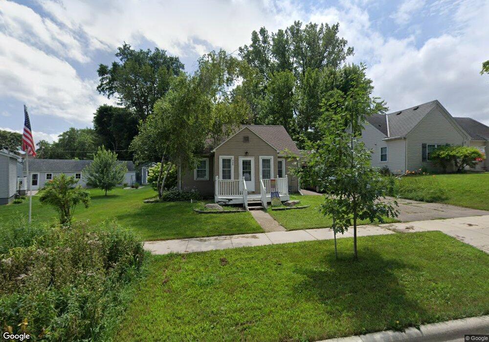
506 Sheridan St Albert Lea, MN 56007
Estimated Value: $147,000 - $179,000
3
Beds
1
Bath
1,802
Sq Ft
$89/Sq Ft
Est. Value
About This Home
This home is located at 506 Sheridan St, Albert Lea, MN 56007 and is currently estimated at $160,018, approximately $88 per square foot. 506 Sheridan St is a home located in Freeborn County with nearby schools including Hawthorne Elementary School, Southwest Middle School, and Albert Lea Senior High School.
Ownership History
Date
Name
Owned For
Owner Type
Purchase Details
Closed on
Jun 21, 2017
Sold by
Teskey Jeffrey Jeffrey
Bought by
Reynolds Trisha Trisha
Current Estimated Value
Home Financials for this Owner
Home Financials are based on the most recent Mortgage that was taken out on this home.
Original Mortgage
$73,542
Outstanding Balance
$61,054
Interest Rate
3.95%
Mortgage Type
FHA
Estimated Equity
$98,964
Purchase Details
Closed on
Dec 1, 2010
Sold by
Larry A Larry A and Dahlen Monica
Bought by
Teskey Jeffrey and Teskey Ila
Purchase Details
Closed on
Jul 26, 2010
Bought by
Dahlen Larry A
Create a Home Valuation Report for This Property
The Home Valuation Report is an in-depth analysis detailing your home's value as well as a comparison with similar homes in the area
Home Values in the Area
Average Home Value in this Area
Purchase History
| Date | Buyer | Sale Price | Title Company |
|---|---|---|---|
| Reynolds Trisha Trisha | $74,900 | -- | |
| Reynolds Trisha A | $74,900 | None Available | |
| Teskey Jeffrey | -- | -- | |
| Dahlen Larry A | -- | -- |
Source: Public Records
Mortgage History
| Date | Status | Borrower | Loan Amount |
|---|---|---|---|
| Open | Reynolds Trisha A | $73,542 | |
| Closed | Reynolds Trisha Trisha | $74,400 |
Source: Public Records
Tax History Compared to Growth
Tax History
| Year | Tax Paid | Tax Assessment Tax Assessment Total Assessment is a certain percentage of the fair market value that is determined by local assessors to be the total taxable value of land and additions on the property. | Land | Improvement |
|---|---|---|---|---|
| 2025 | $2,456 | $137,800 | $20,200 | $117,600 |
| 2024 | $2,346 | $129,800 | $20,200 | $109,600 |
| 2023 | $2,502 | $116,100 | $20,200 | $95,900 |
| 2022 | $2,264 | $124,700 | $20,200 | $104,500 |
| 2021 | $2,248 | $97,100 | $16,100 | $81,000 |
| 2020 | $2,182 | $87,000 | $16,100 | $70,900 |
| 2019 | $918 | $76,300 | $14,300 | $62,000 |
| 2018 | $902 | $0 | $0 | $0 |
| 2016 | $1,184 | $0 | $0 | $0 |
| 2015 | $1,062 | $0 | $0 | $0 |
| 2014 | $716 | $0 | $0 | $0 |
| 2012 | $758 | $0 | $0 | $0 |
Source: Public Records
Map
Nearby Homes
- 902 Clausen Ave
- 613 & 615 Giles Place
- 618 & 620 Giles Place
- 711 Clausen Ave
- 605 E Hawthorne St
- 314 Burr Oak Dr
- 713 Minnesota Ave
- 209 Burr Oak Dr
- 602 Minnesota Ave
- 1020 Saint Jacob Ave
- 313 Glenn Rd
- 819 Pillsbury Ave
- 505 Pillsbury Ave
- 212 N Broadway Ave Unit C1
- 115 N Newton Ave
- 614 Garfield Ave
- 311 W Fountain St
- 315 W Fountain St
- 1626 Keystone Dr
- 529 W Park Ln