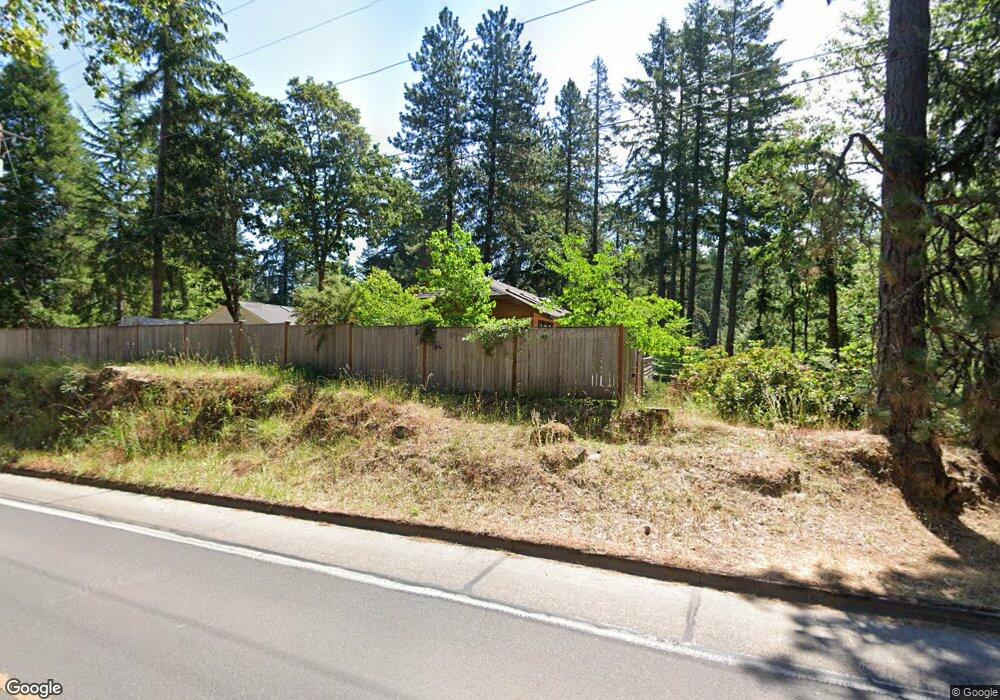
5060 St Clair Ln Eugene, OR 97405
Southeast Eugene NeighborhoodEstimated Value: $477,000 - $617,000
2
Beds
1
Bath
1,096
Sq Ft
$495/Sq Ft
Est. Value
About This Home
This home is located at 5060 St Clair Ln, Eugene, OR 97405 and is currently estimated at $542,031, approximately $494 per square foot. 5060 St Clair Ln is a home located in Lane County with nearby schools including Edgewood Community Elementary School, Spencer Butte Middle School, and South Eugene High School.
Ownership History
Date
Name
Owned For
Owner Type
Purchase Details
Closed on
Apr 11, 2017
Sold by
Harper Suzan C
Bought by
Harper Suzan C and Billow Molly B
Current Estimated Value
Purchase Details
Closed on
Mar 6, 2013
Sold by
Billow Molly and Billow Jesse
Bought by
Harper Suzan
Purchase Details
Closed on
Aug 11, 2001
Sold by
Larkin Andrew D
Bought by
Harper Molly and Billow Jesse
Home Financials for this Owner
Home Financials are based on the most recent Mortgage that was taken out on this home.
Original Mortgage
$119,200
Interest Rate
7.19%
Create a Home Valuation Report for This Property
The Home Valuation Report is an in-depth analysis detailing your home's value as well as a comparison with similar homes in the area
Home Values in the Area
Average Home Value in this Area
Purchase History
| Date | Buyer | Sale Price | Title Company |
|---|---|---|---|
| Harper Suzan C | -- | None Available | |
| Harper Suzan | $215,000 | Western Title & Escrow Co | |
| Harper Molly | $149,000 | Western Title & Escrow Compa |
Source: Public Records
Mortgage History
| Date | Status | Borrower | Loan Amount |
|---|---|---|---|
| Previous Owner | Harper Molly | $119,200 |
Source: Public Records
Tax History
| Year | Tax Paid | Tax Assessment Tax Assessment Total Assessment is a certain percentage of the fair market value that is determined by local assessors to be the total taxable value of land and additions on the property. | Land | Improvement |
|---|---|---|---|---|
| 2025 | $4,615 | $236,881 | -- | -- |
| 2024 | $4,558 | $229,982 | -- | -- |
| 2023 | $4,558 | $223,284 | $0 | $0 |
| 2022 | $4,270 | $216,781 | $0 | $0 |
| 2021 | $4,011 | $210,467 | $0 | $0 |
| 2020 | $4,025 | $204,337 | $0 | $0 |
| 2019 | $3,887 | $198,386 | $0 | $0 |
| 2018 | $3,659 | $186,998 | $0 | $0 |
| 2017 | $3,495 | $186,998 | $0 | $0 |
| 2016 | $3,408 | $181,551 | $0 | $0 |
| 2015 | $3,310 | $176,263 | $0 | $0 |
| 2014 | $3,241 | $171,129 | $0 | $0 |
Source: Public Records
Map
Nearby Homes
- 296 Woodridge Dr
- 202 Foxtail Dr
- 4845 Brookwood St
- 4734 Brookwood St
- 4680 W Hillside Dr
- 892 Sprague St
- 4733 E Amazon Dr
- 395 E 46th Ave
- 4425 Hilyard St
- 126 Treehill Loop Unit 126
- 4429 Fox Hollow Rd Unit 3
- 143 Treehill Loop Unit 143
- 36 Westbrook Way
- 152 Treehill Loop Unit 152
- 151 Treehill Loop Unit 151
- 21 Westbrook Way
- 17 Westbrook Way
- 4295 Ferry St
- 278 Rockridge Ct
- 4364 Fox Hollow Rd
- 5060 Saint Clair Ln
- 5025 Fox Hollow Rd
- 5040 St Clair Ln
- 5015 Fox Hollow Rd
- 5055 St Clair Ln
- 5000 Fox Hollow Rd
- 4975 Fox Hollow Rd
- 5035 St Clair Ln
- 5075 St Clair Ln
- 4980 Fox Hollow Rd
- 5050 Fox Hollow Rd
- 4976 Fox Hollow Rd
- 4988 Fox Hollow Rd
- 5162 Mahalo Dr
- 480 E 53rd Ave
- 482 E 53rd Ave
- 5132 Mahalo Dr
- 5112 Mahalo Dr
- 5115 Fox Hollow Rd
- 488 E 53rd Ave
Your Personal Tour Guide
Ask me questions while you tour the home.