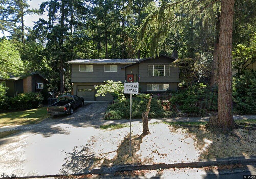
5065 Donald St Eugene, OR 97405
Southeast Eugene NeighborhoodEstimated Value: $535,495 - $558,000
3
Beds
3
Baths
1,236
Sq Ft
$444/Sq Ft
Est. Value
About This Home
This home is located at 5065 Donald St, Eugene, OR 97405 and is currently estimated at $549,374, approximately $444 per square foot. 5065 Donald St is a home located in Lane County with nearby schools including Edgewood Community Elementary School, Spencer Butte Middle School, and South Eugene High School.
Ownership History
Date
Name
Owned For
Owner Type
Purchase Details
Closed on
Dec 18, 1997
Sold by
Thomas Bangsbo Patricia S
Bought by
Bangsbo Boye and Bangsbo Patricia S
Current Estimated Value
Home Financials for this Owner
Home Financials are based on the most recent Mortgage that was taken out on this home.
Original Mortgage
$75,000
Interest Rate
7.23%
Create a Home Valuation Report for This Property
The Home Valuation Report is an in-depth analysis detailing your home's value as well as a comparison with similar homes in the area
Home Values in the Area
Average Home Value in this Area
Purchase History
| Date | Buyer | Sale Price | Title Company |
|---|---|---|---|
| Bangsbo Boye | -- | Key Title Company |
Source: Public Records
Mortgage History
| Date | Status | Borrower | Loan Amount |
|---|---|---|---|
| Closed | Bangsbo Boye | $75,000 |
Source: Public Records
Tax History
| Year | Tax Paid | Tax Assessment Tax Assessment Total Assessment is a certain percentage of the fair market value that is determined by local assessors to be the total taxable value of land and additions on the property. | Land | Improvement |
|---|---|---|---|---|
| 2025 | $5,226 | $268,240 | -- | -- |
| 2024 | $5,161 | $260,428 | -- | -- |
| 2023 | $5,161 | $252,843 | $0 | $0 |
| 2022 | $4,835 | $245,479 | $0 | $0 |
| 2021 | $4,542 | $238,330 | $0 | $0 |
| 2020 | $4,558 | $231,389 | $0 | $0 |
| 2019 | $4,402 | $224,650 | $0 | $0 |
| 2018 | $4,143 | $211,754 | $0 | $0 |
| 2017 | $3,958 | $211,754 | $0 | $0 |
| 2016 | $3,859 | $205,586 | $0 | $0 |
| 2015 | $3,749 | $199,598 | $0 | $0 |
| 2014 | $3,673 | $193,784 | $0 | $0 |
Source: Public Records
Map
Nearby Homes
- 4734 Brookwood St
- 36 Westbrook Way
- 4695 Fox Hollow Rd
- 21 Westbrook Way
- 17 Westbrook Way
- 143 Treehill Loop Unit 143
- 152 Treehill Loop Unit 152
- 278 Rockridge Ct
- 296 Woodridge Dr
- 765 Sprague St
- 202 Foxtail Dr
- 4495 Pinecrest Dr
- 223 Trailside Loop Unit 223
- 422 Stonewood Dr Unit 422
- 418 Stonewood Dr Unit 418
- 5159 Solar Heights Dr
- 365 Brae Burn Dr
- 4083 Donald St Unit A
- 396 Brae Burn Dr
- 4023 Donald St Unit K
- 5045 Donald St
- 5085 Donald St
- 5060 Saratoga St
- 5040 Saratoga St
- 5025 Donald St
- 5125 Donald St
- 5080 Donald St
- 5020 Donald St
- 5120 Saratoga St
- 5020 Saratoga St
- 5015 Donald St
- 5070 Donald St
- 5120 Donald St
- 5045 Saratoga St
- 390 E 50th Ave
- 5030 Donald St
- 5125 Saratoga St
- 5195 Donald St
- 395 Ventura Ave
- 461 Ventura Ave
Your Personal Tour Guide
Ask me questions while you tour the home.