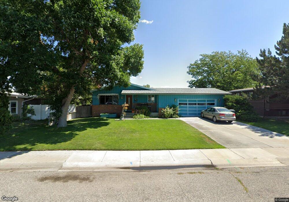
507 31st St W Billings, MT 59102
West End NeighborhoodEstimated Value: $331,000 - $395,000
3
Beds
2
Baths
2,672
Sq Ft
$139/Sq Ft
Est. Value
About This Home
This home is located at 507 31st St W, Billings, MT 59102 and is currently estimated at $371,082, approximately $138 per square foot. 507 31st St W is a home located in Yellowstone County with nearby schools including Meadowlark School, Will James Junior High School, and Billings West High School.
Ownership History
Date
Name
Owned For
Owner Type
Purchase Details
Closed on
Dec 3, 2015
Sold by
Aukshun Ronald W
Bought by
Reeves Charles and Reeves Kim
Current Estimated Value
Home Financials for this Owner
Home Financials are based on the most recent Mortgage that was taken out on this home.
Original Mortgage
$125,000
Interest Rate
3.83%
Mortgage Type
New Conventional
Purchase Details
Closed on
Feb 7, 2014
Sold by
Aukshun Eleanor A
Bought by
Aukshun Eugene R
Create a Home Valuation Report for This Property
The Home Valuation Report is an in-depth analysis detailing your home's value as well as a comparison with similar homes in the area
Home Values in the Area
Average Home Value in this Area
Purchase History
| Date | Buyer | Sale Price | Title Company |
|---|---|---|---|
| Reeves Charles | -- | First Montana Title | |
| Aukshun Eugene R | -- | None Available |
Source: Public Records
Mortgage History
| Date | Status | Borrower | Loan Amount |
|---|---|---|---|
| Open | Reeves Charles | $125,000 |
Source: Public Records
Tax History Compared to Growth
Tax History
| Year | Tax Paid | Tax Assessment Tax Assessment Total Assessment is a certain percentage of the fair market value that is determined by local assessors to be the total taxable value of land and additions on the property. | Land | Improvement |
|---|---|---|---|---|
| 2025 | $3,398 | $361,200 | $51,073 | $310,127 |
| 2024 | $3,398 | $337,600 | $48,371 | $289,229 |
| 2023 | $3,397 | $337,600 | $48,371 | $289,229 |
| 2022 | $2,762 | $237,200 | $0 | $0 |
| 2021 | $2,624 | $237,200 | $0 | $0 |
| 2020 | $2,784 | $242,900 | $0 | $0 |
| 2019 | $2,662 | $242,900 | $0 | $0 |
| 2018 | $2,590 | $230,900 | $0 | $0 |
| 2017 | $2,137 | $230,900 | $0 | $0 |
| 2016 | $2,297 | $210,200 | $0 | $0 |
| 2015 | $2,255 | $210,800 | $0 | $0 |
| 2014 | $1,944 | $95,188 | $0 | $0 |
Source: Public Records
Map
Nearby Homes
- 2937 Miles Ave
- 909 Maywood Dr
- 915 Maywood Dr
- 108 30th St W
- 2905 Lynwood Cir
- 3113 Saint Johns Ave
- 2900 Manhattan Dr
- 1125 30th St W
- 3203 Lynn Ave
- 2645 Custer Ave
- 2702 Howard Ave
- 2636 Custer Ave
- 2903 Belvedere Dr
- 3231 Central Ave
- 2608 Terry Ave
- 2619 Yellowstone Ave
- 3087 Hunters Ridge Loop
- 2539 Custer Ave
- 3079 Hunters Ridge Loop
- 2533 Yellowstone Ave
- 501 31st St W
- 3016 Montclair Dr
- 418 Montclair Dr
- 414 Montclair Dr
- 510 Montclair Dr
- 415 31st St W
- 508 31st St W
- 410 Montclair Dr
- 502 31st St W
- 602 31st St W
- 412 31st St W
- 411 31st St W
- 604 31st St W
- 406 Montclair Dr
- 3017 Montclair Dr
- 515 Montclair Dr
- 408 31st St W
- 421 Montclair Dr
- 513 Montclair Dr
- 417 Montclair Dr