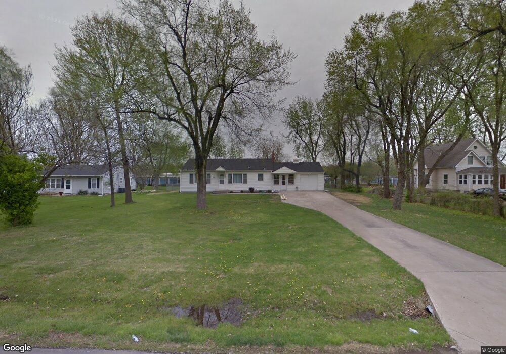
507 NW Donovan Rd Lees Summit, MO 64063
Estimated Value: $209,000 - $293,000
3
Beds
1
Bath
1,446
Sq Ft
$179/Sq Ft
Est. Value
About This Home
This home is located at 507 NW Donovan Rd, Lees Summit, MO 64063 and is currently estimated at $258,411, approximately $178 per square foot. 507 NW Donovan Rd is a home located in Jackson County with nearby schools including Bernard C. Campbell Middle School, Westview Elementary School, and Lee's Summit North High School.
Ownership History
Date
Name
Owned For
Owner Type
Purchase Details
Closed on
Dec 26, 2019
Sold by
Campo Paul and Campo Sharon
Bought by
Campo Paul A and Campo Sharon K
Current Estimated Value
Purchase Details
Closed on
Oct 4, 2010
Sold by
Walsh Ellen B
Bought by
Campo Paul and Campo Sharon
Purchase Details
Closed on
Apr 12, 2007
Sold by
Shuck W Ferrell and Shuck Janice A
Bought by
Walsh Ellen B
Create a Home Valuation Report for This Property
The Home Valuation Report is an in-depth analysis detailing your home's value as well as a comparison with similar homes in the area
Home Values in the Area
Average Home Value in this Area
Purchase History
| Date | Buyer | Sale Price | Title Company |
|---|---|---|---|
| Campo Paul A | -- | None Available | |
| Campo Paul | -- | Stewart Title Company | |
| Walsh Ellen B | -- | None Available |
Source: Public Records
Tax History
| Year | Tax Paid | Tax Assessment Tax Assessment Total Assessment is a certain percentage of the fair market value that is determined by local assessors to be the total taxable value of land and additions on the property. | Land | Improvement |
|---|---|---|---|---|
| 2025 | $3,018 | $27,891 | $12,472 | $15,419 |
| 2024 | $2,996 | $41,800 | $13,148 | $28,652 |
| 2023 | $2,996 | $41,800 | $13,148 | $28,652 |
| 2022 | $1,702 | $21,090 | $5,710 | $15,380 |
| 2021 | $1,738 | $21,090 | $5,710 | $15,380 |
| 2020 | $1,677 | $20,153 | $5,710 | $14,443 |
| 2019 | $1,631 | $20,153 | $5,710 | $14,443 |
| 2018 | $1,632 | $18,715 | $3,527 | $15,188 |
| 2017 | $1,632 | $18,715 | $3,527 | $15,188 |
| 2016 | $1,480 | $16,796 | $5,187 | $11,609 |
Source: Public Records
Map
Nearby Homes
- 412 NW Donovan Rd
- 211-213 NW Orchard Ct
- 211 NW Orchard Ct
- 213 NW Orchard Ct
- 207 NW Orchard St
- 219 NW Orchard Ct
- 231 NW Orchard Ct
- 27002 NW Olive St
- 27001 NW Olive St
- 27003 NW Olive St
- 105 NW Walnut St
- 614 NW Fair Ln
- 626 NW Village Dr
- 209 NW Monroe St
- 103 SW Hillcrest Ln
- 1005 NW Maple St
- 116 SW Noel St
- 203 NE Green St
- 204 SE 1st St
- 314 SW Walnut St
- 509 NW Donovan Rd
- 505 NW Donovan Rd
- 504 NW Donovan Rd
- 503 NW Donovan Rd
- 511 NW Donovan Rd
- 508 NW Donovan Rd
- 506 NW Donovan Rd
- 502 NW Donovan Rd
- 515 NW Donovan Rd
- 501 NW Donovan Rd
- 510 NW Donovan Rd
- 500 NW Donovan Rd
- 415 NW Donovan Rd
- 400 NW Frances Rd
- 402 NW Frances Rd
- 603 NW Donovan Rd
- 413 NW Donovan Rd
- 404 NW Frances Rd
- 600 NW Dunlap St
- 507 NW Watson Rd
Your Personal Tour Guide
Ask me questions while you tour the home.