50753 Brownstone Dr Granger, IN 46530
Estimated Value: $586,000 - $1,376,256
6
Beds
5
Baths
3,578
Sq Ft
$310/Sq Ft
Est. Value
About This Home
This home is located at 50753 Brownstone Dr, Granger, IN 46530 and is currently estimated at $1,107,419, approximately $309 per square foot. 50753 Brownstone Dr is a home with nearby schools including Horizon Elementary School, Discovery Middle School, and Penn High School.
Ownership History
Date
Name
Owned For
Owner Type
Purchase Details
Closed on
Oct 28, 2021
Sold by
Brown 2017 Trust
Bought by
Raqeem Muhammad Wajih
Current Estimated Value
Home Financials for this Owner
Home Financials are based on the most recent Mortgage that was taken out on this home.
Original Mortgage
$950,000
Outstanding Balance
$868,189
Interest Rate
2.8%
Mortgage Type
New Conventional
Estimated Equity
$239,230
Purchase Details
Closed on
Jan 18, 2021
Sold by
Dt Integrity Group Llc
Bought by
Haven Estates Llc
Purchase Details
Closed on
Aug 28, 2019
Sold by
Brownstone Estates Llc
Bought by
Brown Family 2017 Revocable Tr
Create a Home Valuation Report for This Property
The Home Valuation Report is an in-depth analysis detailing your home's value as well as a comparison with similar homes in the area
Home Values in the Area
Average Home Value in this Area
Purchase History
| Date | Buyer | Sale Price | Title Company |
|---|---|---|---|
| Raqeem Muhammad Wajih | -- | Metropolitan Title | |
| Haven Estates Llc | -- | None Available | |
| Brown Family 2017 Revocable Tr | -- | Metropolitan Title |
Source: Public Records
Mortgage History
| Date | Status | Borrower | Loan Amount |
|---|---|---|---|
| Open | Raqeem Muhammad Wajih | $950,000 |
Source: Public Records
Tax History Compared to Growth
Tax History
| Year | Tax Paid | Tax Assessment Tax Assessment Total Assessment is a certain percentage of the fair market value that is determined by local assessors to be the total taxable value of land and additions on the property. | Land | Improvement |
|---|---|---|---|---|
| 2024 | $6,078 | $1,042,700 | $122,100 | $920,600 |
| 2023 | $6,030 | $638,400 | $122,100 | $516,300 |
| 2022 | $6,605 | $638,400 | $122,100 | $516,300 |
| 2021 | $5,255 | $505,300 | $32,100 | $473,200 |
| 2020 | $5,252 | $505,300 | $32,100 | $473,200 |
| 2019 | $7 | $400 | $400 | $0 |
| 2018 | $8 | $400 | $400 | $0 |
Source: Public Records
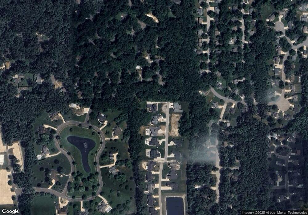
Map
Nearby Homes
- 50630 Mohawk Dr
- 50778 Brownstone Dr
- 11070 Birch Lake Dr
- 50590 Tecumseh Dr
- 50633 Weeping Willow Run W
- 10700 Adams Rd
- 11487 Wilkins Mill Dr
- 71287 M 62
- 50590 Deer Ridge Ct
- 51150 Mason James Dr
- 11625 Sharpe Bridge Ct
- 11560 Greyson Alan Dr
- 11500 Greyson Alan Dr
- 11540 Greyson Alan Dr
- 71116 Meadow Dr
- 26356 Redfield St
- 11795 Park Ln N
- 50920 Northbrook Shores Dr
- 10080 Pemburry Dr
- 71599 State Line Rd
- 50773 Brownstone Dr
- 11028 Maumee Dr
- 50795 Brownstone Dr
- 50754 Brownstone Dr
- 11040 Maumee Dr Unit 53
- 50650 Wyandotte Dr
- 50817 Brownstone Dr
- 11025 Maumee Dr
- 50640 Mohawk Dr
- 11054 Birch Lake Dr
- 50824 Brownstone Dr
- 50640 Wyandotte Dr
- 50839 Brownstone Dr
- 10928 Nottinghamshire Dr
- 11060 Maumee Dr
- 11050 Birch Lake Dr
- 50635 Mohawk Dr
- 50779 Sherwood Dr
- 50848 Brownstone Dr
- 50691 King Richards Way