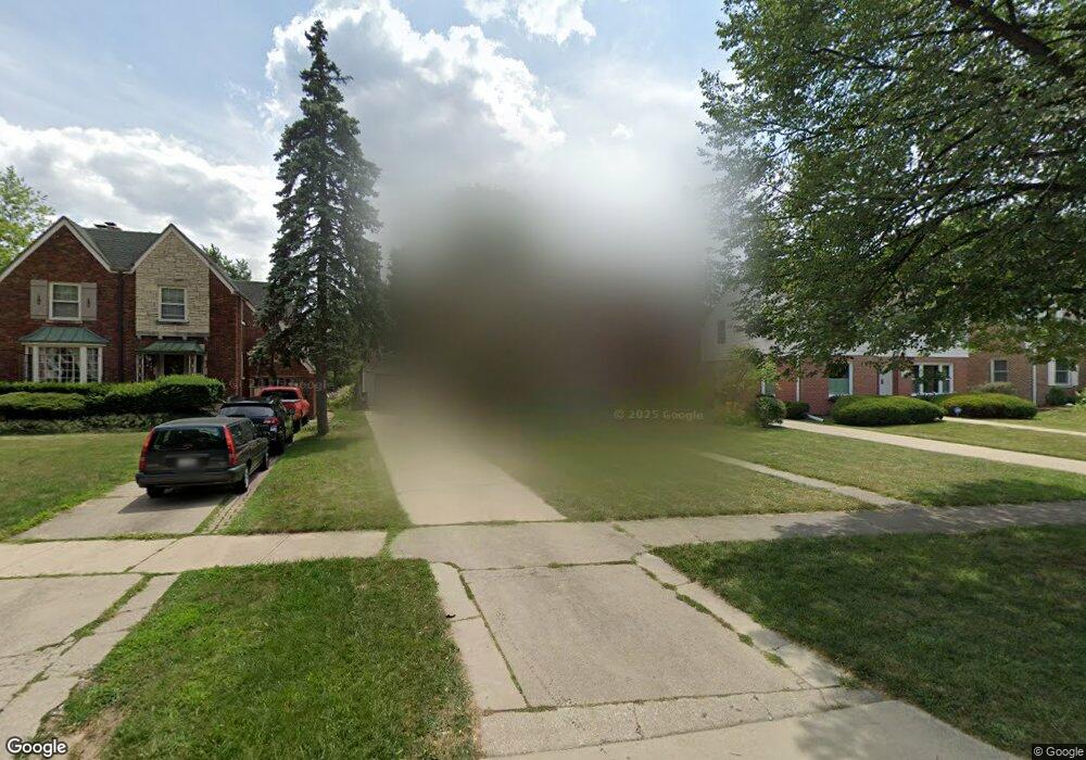
509 Uvedale Rd Riverside, IL 60546
Estimated Value: $586,000 - $661,000
4
Beds
2
Baths
2,162
Sq Ft
$290/Sq Ft
Est. Value
About This Home
This home is located at 509 Uvedale Rd, Riverside, IL 60546 and is currently estimated at $627,033, approximately $290 per square foot. 509 Uvedale Rd is a home located in Cook County with nearby schools including A F Ames Elementary School, L J Hauser Jr High School, and Riverside Brookfield High School.
Ownership History
Date
Name
Owned For
Owner Type
Purchase Details
Closed on
Mar 31, 2021
Sold by
Muntean John V and Synnestvedt Susan
Bought by
Muntean John V
Current Estimated Value
Create a Home Valuation Report for This Property
The Home Valuation Report is an in-depth analysis detailing your home's value as well as a comparison with similar homes in the area
Home Values in the Area
Average Home Value in this Area
Purchase History
| Date | Buyer | Sale Price | Title Company |
|---|---|---|---|
| Muntean John V | -- | Attorney |
Source: Public Records
Tax History
| Year | Tax Paid | Tax Assessment Tax Assessment Total Assessment is a certain percentage of the fair market value that is determined by local assessors to be the total taxable value of land and additions on the property. | Land | Improvement |
|---|---|---|---|---|
| 2025 | $14,615 | $49,001 | $12,535 | $36,466 |
| 2024 | $14,615 | $49,001 | $12,535 | $36,466 |
| 2023 | $15,582 | $49,001 | $12,535 | $36,466 |
| 2022 | $15,582 | $44,102 | $10,825 | $33,277 |
| 2021 | $15,006 | $44,102 | $10,825 | $33,277 |
| 2020 | $15,275 | $46,011 | $10,825 | $35,186 |
| 2019 | $13,675 | $42,282 | $9,970 | $32,312 |
| 2018 | $13,271 | $42,282 | $9,970 | $32,312 |
| 2017 | $12,861 | $42,282 | $9,970 | $32,312 |
| 2016 | $12,626 | $38,349 | $8,546 | $29,803 |
| 2015 | $12,293 | $38,349 | $8,546 | $29,803 |
| 2014 | $12,101 | $38,349 | $8,546 | $29,803 |
| 2013 | $12,622 | $43,088 | $7,976 | $35,112 |
Source: Public Records
Map
Nearby Homes
- 478 Kent Rd
- 562 Byrd Rd
- 571 Byrd Rd
- 2817 Maple Ave
- 484 Shenstone Rd
- 410 Repton Rd
- 475 Shenstone Rd Unit 104
- 475 Shenstone Rd Unit 304
- 475 Shenstone Rd Unit 303
- 101 Southcote Rd
- 369 Addison Rd
- 2816 Wenonah Ave
- 269 Shenstone Rd
- 315 Bartram Rd
- 2817 Wenonah Ave
- 231 Bartram Rd
- 367 Bartram Rd
- 3111 Wenonah Ave
- 2527 Keystone Ave
- 2252 Northgate Ave
- 513 Uvedale Rd
- 505 Uvedale Rd
- 501 Uvedale Rd
- 523 Uvedale Rd
- 497 Uvedale Rd
- 310 Southcote Rd
- 306 Southcote Rd
- 493 Uvedale Rd
- 302 Southcote Rd
- 314 Southcote Rd
- 531 Uvedale Rd
- 294 Southcote Rd
- 318 Southcote Rd
- 290 Southcote Rd
- 489 Uvedale Rd
- 324 Southcote Rd
- 514 Uvedale Rd
- 510 Uvedale Rd
- 332 Southcote Rd
- 518 Uvedale Rd
Your Personal Tour Guide
Ask me questions while you tour the home.