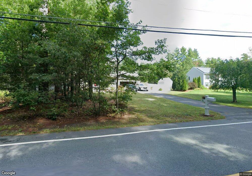
51 Gilson Rd Nashua, NH 03062
West Hollis NeighborhoodEstimated Value: $652,000 - $745,538
3
Beds
3
Baths
1,944
Sq Ft
$361/Sq Ft
Est. Value
About This Home
This home is located at 51 Gilson Rd, Nashua, NH 03062 and is currently estimated at $702,635, approximately $361 per square foot. 51 Gilson Rd is a home located in Hillsborough County with nearby schools including Main Dunstable School, Elm Street Middle School, and Nashua High School South.
Ownership History
Date
Name
Owned For
Owner Type
Purchase Details
Closed on
Oct 26, 2010
Sold by
Gilson Road Ret and Haseltine
Bought by
Ostlund Daniel B and Ostlund Lisa M
Current Estimated Value
Home Financials for this Owner
Home Financials are based on the most recent Mortgage that was taken out on this home.
Original Mortgage
$317,721
Outstanding Balance
$209,875
Interest Rate
4.37%
Mortgage Type
Purchase Money Mortgage
Estimated Equity
$492,760
Purchase Details
Closed on
Oct 15, 2009
Sold by
Haggerty Carlton Est and Haggerty
Bought by
Haseltine George
Purchase Details
Closed on
Apr 2, 2002
Sold by
Sylvester Lucille A
Bought by
Haggerty Carlton P
Home Financials for this Owner
Home Financials are based on the most recent Mortgage that was taken out on this home.
Original Mortgage
$99,000
Interest Rate
6.88%
Mortgage Type
Purchase Money Mortgage
Create a Home Valuation Report for This Property
The Home Valuation Report is an in-depth analysis detailing your home's value as well as a comparison with similar homes in the area
Home Values in the Area
Average Home Value in this Area
Purchase History
| Date | Buyer | Sale Price | Title Company |
|---|---|---|---|
| Ostlund Daniel B | $322,000 | -- | |
| Haseltine George | $136,000 | -- | |
| Haggerty Carlton P | $110,000 | -- |
Source: Public Records
Mortgage History
| Date | Status | Borrower | Loan Amount |
|---|---|---|---|
| Open | Haggerty Carlton P | $317,721 | |
| Previous Owner | Haggerty Carlton P | $58,830 | |
| Previous Owner | Haggerty Carlton P | $99,000 |
Source: Public Records
Tax History Compared to Growth
Tax History
| Year | Tax Paid | Tax Assessment Tax Assessment Total Assessment is a certain percentage of the fair market value that is determined by local assessors to be the total taxable value of land and additions on the property. | Land | Improvement |
|---|---|---|---|---|
| 2024 | $9,898 | $622,500 | $182,700 | $439,800 |
| 2023 | $9,387 | $514,900 | $146,200 | $368,700 |
| 2022 | $9,304 | $514,900 | $146,200 | $368,700 |
| 2021 | $8,317 | $358,200 | $97,400 | $260,800 |
| 2020 | $8,099 | $358,200 | $97,400 | $260,800 |
| 2019 | $7,794 | $358,200 | $97,400 | $260,800 |
| 2018 | $7,597 | $358,200 | $97,400 | $260,800 |
| 2017 | $7,827 | $303,500 | $71,600 | $231,900 |
| 2016 | $7,609 | $303,500 | $71,600 | $231,900 |
| 2015 | $7,445 | $303,500 | $71,600 | $231,900 |
| 2014 | $7,299 | $303,500 | $71,600 | $231,900 |
Source: Public Records
Map
Nearby Homes
- 58 Tanglewood Dr
- 12 Clovercrest Dr
- 1014 W Hollis St
- 5 Plainfield Ln
- 2 Matties Way
- 2 Rene Dr
- 67 Groton Rd Unit B
- 4 Chesapeake Rd
- 25 Cortez Dr Unit U57
- 20 Martha St
- 12 Spring Cove Rd Unit U103
- 16 Laurel Ct Unit U320
- 40 Spring Cove Rd Unit U117
- 91 Century Way
- 5 Wilderness Dr
- 22 Newburgh Rd
- 47 Dogwood Dr Unit U202
- 46 Scenic Dr
- 15 Westray Dr
- 11 Bartemus Trail Unit 204