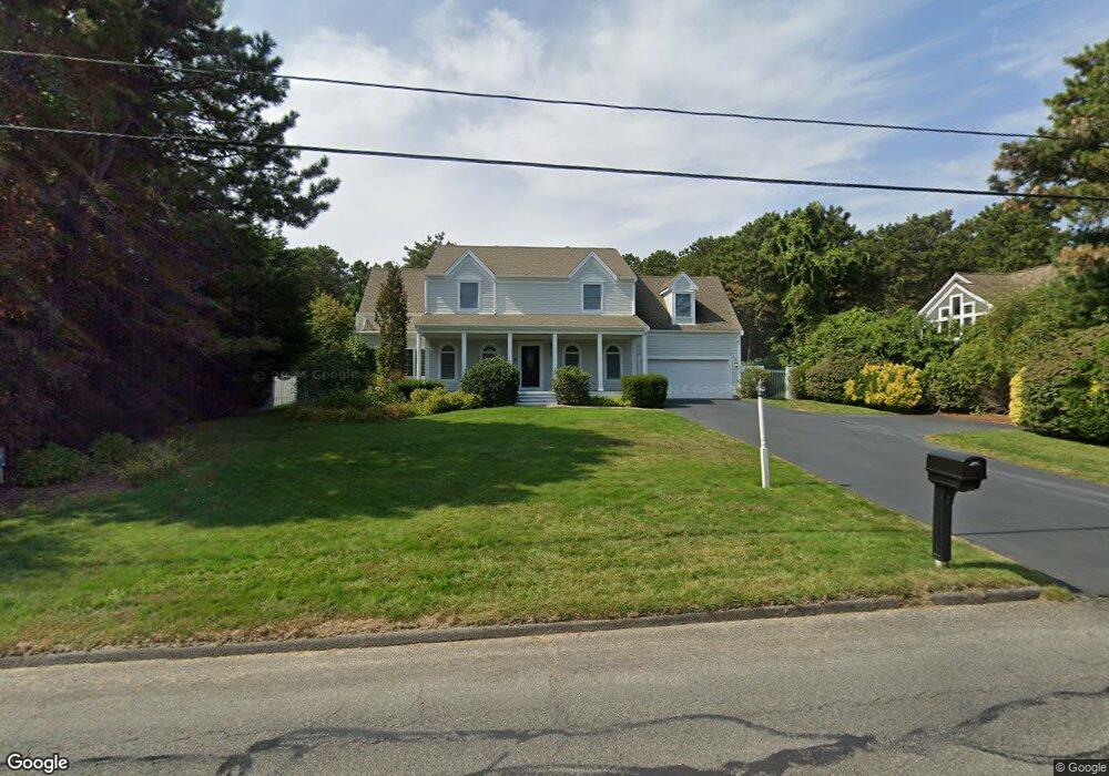
51 Monomoscoy Rd Mashpee, MA 02649
Seabrook NeighborhoodEstimated Value: $1,124,000 - $1,234,000
4
Beds
4
Baths
3,701
Sq Ft
$319/Sq Ft
Est. Value
About This Home
This home is located at 51 Monomoscoy Rd, Mashpee, MA 02649 and is currently estimated at $1,181,433, approximately $319 per square foot. 51 Monomoscoy Rd is a home located in Barnstable County with nearby schools including Kenneth C. Coombs School, Quashnet School, and Mashpee Middle School.
Ownership History
Date
Name
Owned For
Owner Type
Purchase Details
Closed on
Sep 26, 1994
Sold by
Republic Plumb Sup Co
Bought by
Mulvey Peter F and Mulvey Diane L
Current Estimated Value
Purchase Details
Closed on
Feb 26, 1992
Sold by
Lane William D and Lane Julia M
Bought by
Republic Plbng Sup Co
Create a Home Valuation Report for This Property
The Home Valuation Report is an in-depth analysis detailing your home's value as well as a comparison with similar homes in the area
Home Values in the Area
Average Home Value in this Area
Purchase History
| Date | Buyer | Sale Price | Title Company |
|---|---|---|---|
| Mulvey Peter F | $27,500 | -- | |
| Republic Plbng Sup Co | $60,000 | -- |
Source: Public Records
Tax History
| Year | Tax Paid | Tax Assessment Tax Assessment Total Assessment is a certain percentage of the fair market value that is determined by local assessors to be the total taxable value of land and additions on the property. | Land | Improvement |
|---|---|---|---|---|
| 2025 | $6,370 | $962,300 | $248,500 | $713,800 |
| 2024 | $5,882 | $914,800 | $225,900 | $688,900 |
| 2023 | $5,441 | $776,200 | $215,100 | $561,100 |
| 2022 | $5,194 | $635,700 | $174,900 | $460,800 |
| 2021 | $5,105 | $562,800 | $157,500 | $405,300 |
| 2020 | $4,973 | $547,100 | $151,500 | $395,600 |
| 2019 | $4,742 | $524,000 | $151,500 | $372,500 |
| 2018 | $4,662 | $522,600 | $151,500 | $371,100 |
| 2017 | $4,498 | $489,400 | $151,500 | $337,900 |
| 2016 | $4,341 | $469,800 | $151,500 | $318,300 |
| 2015 | $3,950 | $433,600 | $128,200 | $305,400 |
| 2014 | $3,818 | $406,600 | $127,900 | $278,700 |
Source: Public Records
Map
Nearby Homes
- 35 Bayshore Dr
- 240 Surf Dr
- 9 Point Rd
- 197 Monomoscoy Rd
- 61 Wintergreen Rd
- 42 Overlook Cir
- 12 Wintergreen Rd
- 7 Sandy Way
- 29 Carl Landi Cir
- 89 Degrass Rd
- 381 Great Oak Rd Unit 9
- 36 Carriage Shop Rd
- 50 Topping Lift
- 56 Carriage Shop Rd Unit 4
- 72 Walton Heath Way
- 11 Rosewood Cir
- 97 Walton Heath Way
- 51 Walton Heath Way
- 5 Tide Run
- 36 Rosewood Cir
- 45 Monomoscoy Rd
- 104 Bayshore Dr
- 41 Monomoscoy Rd
- 46 Monomoscoy Rd
- 98 Bayshore Dr
- 42 Monomoscoy Rd
- 6 Meadowbrook Rd
- 38 Monomoscoy Rd
- 37 Monomoscoy Rd
- 94 Bayshore Dr
- 103 Bayshore Dr
- 34 Monomoscoy Rd
- 5 Meadowbrook Rd
- 99 Bayshore Dr
- 16 Meadowbrook Rd
- 31 Monomoscoy Rd
- 86 Bayshore Dr
- 30 Monomoscoy Rd
- 30 Monomoscoy Rd
- 20 Meadowbrook Rd
Your Personal Tour Guide
Ask me questions while you tour the home.