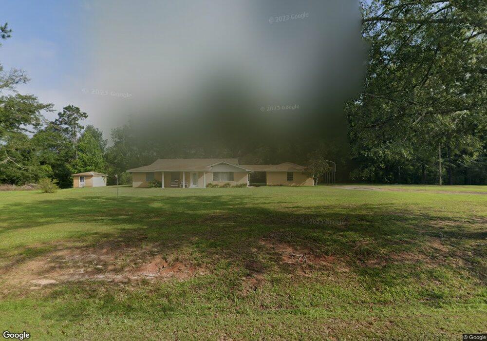
5117 Enterprise Rd Summit, MS 39666
Estimated Value: $166,733 - $319,000
Studio
--
Bath
2,205
Sq Ft
$107/Sq Ft
Est. Value
About This Home
This home is located at 5117 Enterprise Rd, Summit, MS 39666 and is currently estimated at $236,433, approximately $107 per square foot. 5117 Enterprise Rd is a home with nearby schools including Otken Elementary School, Higgins Middle School, and Denman Junior High School.
Ownership History
Date
Name
Owned For
Owner Type
Purchase Details
Closed on
May 12, 2025
Sold by
Martin Philip Brown Family Trust
Bought by
Cooper Joseph Howard and Cooper Sybil
Current Estimated Value
Purchase Details
Closed on
Apr 24, 2012
Sold by
Brown Martin P and Brown Penelope S
Bought by
Brown Martin P and Brown Louis P
Purchase Details
Closed on
Nov 21, 2006
Sold by
Reid Larry L and Reid Kathleen N
Bought by
Brown Martin P
Home Financials for this Owner
Home Financials are based on the most recent Mortgage that was taken out on this home.
Original Mortgage
$60,800
Interest Rate
6.31%
Mortgage Type
Unknown
Create a Home Valuation Report for This Property
The Home Valuation Report is an in-depth analysis detailing your home's value as well as a comparison with similar homes in the area
Purchase History
| Date | Buyer | Sale Price | Title Company |
|---|---|---|---|
| Cooper Joseph Howard | -- | None Listed On Document | |
| Brown Martin P | -- | None Available | |
| Brown Martin P | -- | None Available |
Source: Public Records
Mortgage History
| Date | Status | Borrower | Loan Amount |
|---|---|---|---|
| Previous Owner | Brown Martin P | $60,800 |
Source: Public Records
Tax History
| Year | Tax Paid | Tax Assessment Tax Assessment Total Assessment is a certain percentage of the fair market value that is determined by local assessors to be the total taxable value of land and additions on the property. | Land | Improvement |
|---|---|---|---|---|
| 2025 | $1,331 | $9,891 | $0 | $0 |
| 2024 | $1,114 | $8,234 | $0 | $0 |
| 2023 | $1,097 | $8,235 | $0 | $0 |
| 2022 | $1,076 | $8,233 | $0 | $0 |
| 2021 | $1,072 | $8,234 | $0 | $0 |
| 2020 | $1,151 | $8,838 | $0 | $0 |
| 2019 | $1,120 | $8,839 | $0 | $0 |
| 2018 | $1,104 | $8,840 | $0 | $0 |
| 2017 | $1,112 | $8,839 | $0 | $0 |
| 2016 | $1,097 | $8,837 | $0 | $0 |
| 2015 | $1,971 | $8,744 | $0 | $0 |
| 2014 | -- | $8,742 | $0 | $0 |
| 2013 | -- | $8,741 | $0 | $0 |
Source: Public Records
Map
Nearby Homes
- 0 Paige Dr
- 0 Mississippi 570
- 2194 Mississippi 570
- 3103 Mississippi 570
- 4164 Magnolia Pisgah Rd
- 115 Village Ln
- 3000 Delaware Ave
- 0 Delaware
- 306 Cherokee Dr
- 501A Commanche Dr
- 138 Woodland Ridge Dr
- 1019 Busy Ln
- 000 Pike Point Place
- 0 Llewellyn Ave
- 1020 Perry Ln
- 0 Anna Dr
- 506 Oakbrook Cir
- 0000 Mississippi 570
- TDB Delaware Ave
- 816 Hart Rd
- 5094 Enterprise Rd
- 5112 Enterprise Rd
- 5126 Enterprise Rd
- 1004 Delaney Dr
- 2127 Caston Rd
- 2133 Caston Rd
- 2126 Caston Rd
- 5148 Enterprise Rd
- 5160 Enterprise Rd
- 5135 Enterprise Rd
- 5175 Enterprise Rd
- 1010 Murry Rd
- 1014 Robinson Rd
- 1009 Broken Arrow Ln
- 5188 Enterprise Rd
- 5188 Enterprise Rd
- 1005 Smith Ln
- 5041 Enterprise Rd
- 5194 Enterprise Rd
- 2054 Caston Rd
Your Personal Tour Guide
Ask me questions while you tour the home.