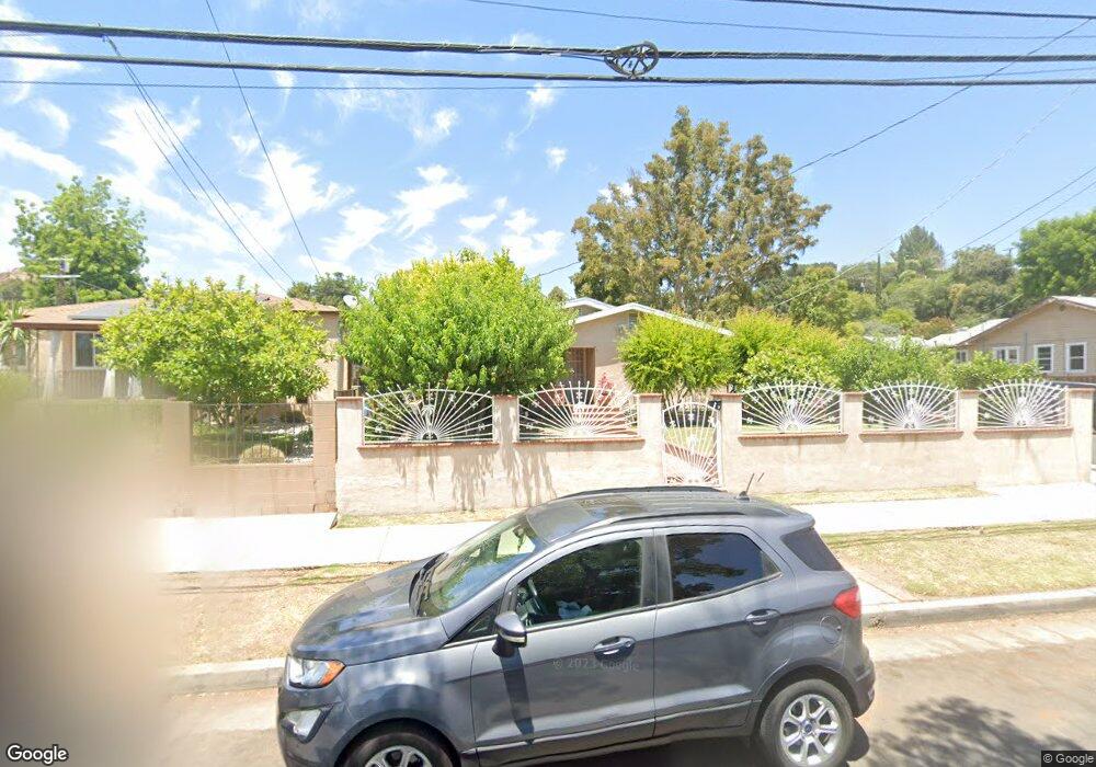
5127 Coringa Dr Los Angeles, CA 90042
Eagle Rock NeighborhoodEstimated Value: $723,000 - $1,354,000
5
Beds
2
Baths
1,507
Sq Ft
$730/Sq Ft
Est. Value
About This Home
This home is located at 5127 Coringa Dr, Los Angeles, CA 90042 and is currently estimated at $1,100,433, approximately $730 per square foot. 5127 Coringa Dr is a home located in Los Angeles County with nearby schools including Buchanan Street Elementary, Benjamin Franklin High School, and Luther Burbank Middle School.
Ownership History
Date
Name
Owned For
Owner Type
Purchase Details
Closed on
Dec 4, 1995
Sold by
Quintero Anthony
Bought by
Franquez Merced S and Franquez Clementina
Current Estimated Value
Home Financials for this Owner
Home Financials are based on the most recent Mortgage that was taken out on this home.
Original Mortgage
$100,700
Interest Rate
7.05%
Create a Home Valuation Report for This Property
The Home Valuation Report is an in-depth analysis detailing your home's value as well as a comparison with similar homes in the area
Home Values in the Area
Average Home Value in this Area
Purchase History
| Date | Buyer | Sale Price | Title Company |
|---|---|---|---|
| Franquez Merced S | $106,000 | Commonwealth Land Title |
Source: Public Records
Mortgage History
| Date | Status | Borrower | Loan Amount |
|---|---|---|---|
| Previous Owner | Franquez Merced S | $100,700 |
Source: Public Records
Tax History Compared to Growth
Tax History
| Year | Tax Paid | Tax Assessment Tax Assessment Total Assessment is a certain percentage of the fair market value that is determined by local assessors to be the total taxable value of land and additions on the property. | Land | Improvement |
|---|---|---|---|---|
| 2025 | $3,140 | $248,417 | $140,856 | $107,561 |
| 2024 | $3,140 | $243,547 | $138,095 | $105,452 |
| 2023 | $3,082 | $238,773 | $135,388 | $103,385 |
| 2022 | $2,943 | $234,092 | $132,734 | $101,358 |
| 2021 | $2,900 | $229,503 | $130,132 | $99,371 |
| 2019 | $2,815 | $222,698 | $126,273 | $96,425 |
| 2018 | $2,709 | $218,333 | $123,798 | $94,535 |
| 2016 | $2,573 | $209,857 | $118,992 | $90,865 |
| 2015 | $2,536 | $206,706 | $117,205 | $89,501 |
| 2014 | $2,552 | $202,658 | $114,910 | $87,748 |
Source: Public Records
Map
Nearby Homes
- 5117 Stratford Rd
- 1813 N Avenue 53
- 5252 Range View Ave
- 5240 Barker Dr
- 1932 Phillips Way
- 1902 N Avenue 51
- 1942 Phillips Way
- 1915 N Avenue 52
- 1938 Phillips Way
- 1813 N Avenue 55
- 5125 Buchanan St
- 1632 Oak Grove Dr
- 4925 Buchanan St
- 1333 Wildwood Dr
- 1113 N Avenue 50
- 1370 N Avenue 57
- 1815 Nolden St
- 4631 4637 Loleta Place
- 4854 Buchanan St
- 1048 Dexter St
- 5123 Coringa Dr
- 5201 Coringa Dr
- 1815 North Avenue 52
- 5132 Coringa Dr
- 5115 Coringa Dr
- 5117 Coringa Dr
- 1817 North Avenue 52
- 5207 Coringa Dr
- 5111 Coringa Dr
- 1812 North Avenue 52
- 1821 North Avenue 52
- 5126 Coringa Dr
- 5126 Coringa Dr
- 1816 North Avenue 52
- 5130 Coringa Dr
- 5211 Coringa Dr
- 5122 Coringa Dr
- 5134 Coringa Dr
- 1812 North Avenue 51