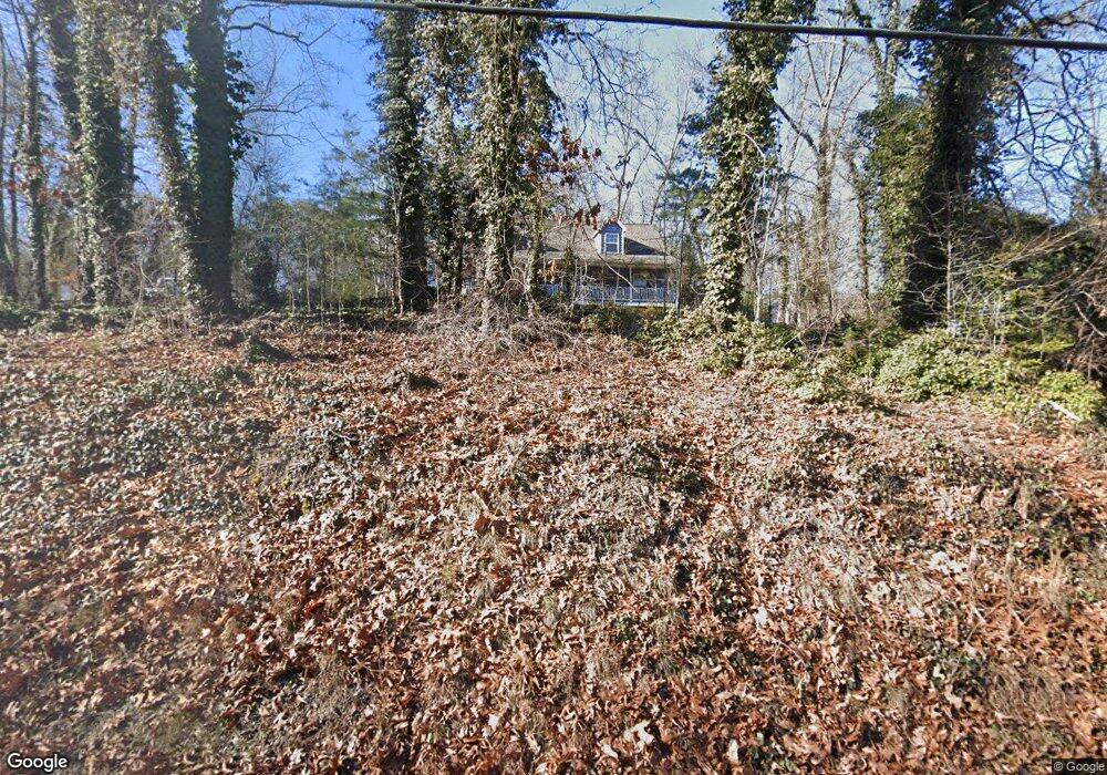
5127 Delashmitt Rd Hixson, TN 37343
Estimated Value: $307,000 - $349,000
3
Beds
2
Baths
1,674
Sq Ft
$198/Sq Ft
Est. Value
About This Home
This home is located at 5127 Delashmitt Rd, Hixson, TN 37343 and is currently estimated at $332,009, approximately $198 per square foot. 5127 Delashmitt Rd is a home located in Hamilton County with nearby schools including Alpine Crest Elementary School, Red Bank Middle School, and Red Bank High School.
Ownership History
Date
Name
Owned For
Owner Type
Purchase Details
Closed on
May 29, 2013
Sold by
Stewart Teresa
Bought by
Gillette Robert A and Gillette Cheryl Lynn
Current Estimated Value
Purchase Details
Closed on
Jul 24, 2003
Sold by
Harrell James T and Harrell Barbara A
Bought by
Stewart Teresa
Home Financials for this Owner
Home Financials are based on the most recent Mortgage that was taken out on this home.
Original Mortgage
$75,000
Interest Rate
5.16%
Mortgage Type
Purchase Money Mortgage
Create a Home Valuation Report for This Property
The Home Valuation Report is an in-depth analysis detailing your home's value as well as a comparison with similar homes in the area
Home Values in the Area
Average Home Value in this Area
Purchase History
| Date | Buyer | Sale Price | Title Company |
|---|---|---|---|
| Gillette Robert A | $125,000 | None Available | |
| Stewart Teresa | $138,500 | Pioneer Title Agency Inc |
Source: Public Records
Mortgage History
| Date | Status | Borrower | Loan Amount |
|---|---|---|---|
| Previous Owner | Stewart Teresa | $75,000 |
Source: Public Records
Tax History Compared to Growth
Tax History
| Year | Tax Paid | Tax Assessment Tax Assessment Total Assessment is a certain percentage of the fair market value that is determined by local assessors to be the total taxable value of land and additions on the property. | Land | Improvement |
|---|---|---|---|---|
| 2024 | $1,114 | $49,775 | $0 | $0 |
| 2023 | $2,015 | $49,775 | $0 | $0 |
| 2022 | $1,701 | $49,775 | $0 | $0 |
| 2021 | $1,893 | $49,775 | $0 | $0 |
| 2020 | $1,862 | $39,325 | $0 | $0 |
| 2019 | $1,862 | $39,325 | $0 | $0 |
| 2018 | $1,862 | $39,325 | $0 | $0 |
| 2017 | $1,780 | $39,325 | $0 | $0 |
| 2016 | $1,777 | $0 | $0 | $0 |
| 2015 | $1,777 | $37,650 | $0 | $0 |
| 2014 | $1,777 | $0 | $0 | $0 |
Source: Public Records
Map
Nearby Homes
- 5307 Delashmitt Rd
- 1428 Highcrest Dr
- 5227 Lawana Ln
- 602 Paragon Dr
- 507 Heidi Cir
- 4810 Delashmitt Rd
- 810 Forest Dale Ln
- 486 Gadd Rd
- 1328 Michael Ln
- 1313 Michael Ln
- 4706 Eldridge Rd
- 133 Hill Rd
- 4607 Cloverdale Loop
- 545 Leafwood Dr
- 5306 Kimbro St
- 125 Passons Rd
- 123 Passons Rd
- 113 Hill Rd
- 1331 Cloverdale Cir
- 5121 Delashmitt Rd
- 5109 Delashmitt Rd
- 0 Tbd Carlie Way Unit 1339565
- 0 Tbd Carlie Way Unit 1339566
- 5114 Delashmitt Rd
- 5118 Delashmitt Rd
- 540 Tree Top Ln
- 5112 Delashmitt Rd
- 534 Tree Top Ln
- 5107 Delashmitt Rd
- 537 Treetop Ln
- 5118 N Eldridge Rd
- 0 Carlie Way Unit RTC2720701
- 0 Carlie Way Unit RTC2720706
- 0 Carlie Way Unit RTC2570394
- 537 Tree Top Ln
- 5116 Delashmitt Rd
- 5120 Delashmitt Rd
- 5105 Delashmitt Rd
- 535 Tree Top Ln