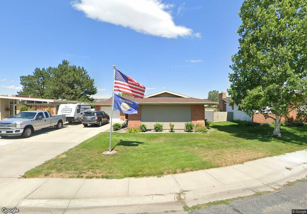
513 Montclair Dr Billings, MT 59102
West End NeighborhoodEstimated Value: $324,792 - $385,000
3
Beds
2
Baths
1,683
Sq Ft
$210/Sq Ft
Est. Value
About This Home
This home is located at 513 Montclair Dr, Billings, MT 59102 and is currently estimated at $352,698, approximately $209 per square foot. 513 Montclair Dr is a home located in Yellowstone County with nearby schools including Meadowlark School, Will James Junior High School, and Billings West High School.
Ownership History
Date
Name
Owned For
Owner Type
Purchase Details
Closed on
Feb 14, 2017
Sold by
Mankin Connie J and Conrad Trish
Bought by
Phillips Fredrick J and Phillips Joyce M
Current Estimated Value
Home Financials for this Owner
Home Financials are based on the most recent Mortgage that was taken out on this home.
Original Mortgage
$169,600
Outstanding Balance
$139,987
Interest Rate
4.09%
Mortgage Type
New Conventional
Estimated Equity
$212,711
Purchase Details
Closed on
Mar 31, 2008
Sold by
Mankin Carol and Mankin Carol J
Bought by
Mankin Carol and Mankin Connie J
Create a Home Valuation Report for This Property
The Home Valuation Report is an in-depth analysis detailing your home's value as well as a comparison with similar homes in the area
Home Values in the Area
Average Home Value in this Area
Purchase History
| Date | Buyer | Sale Price | Title Company |
|---|---|---|---|
| Phillips Fredrick J | -- | Stewart Title | |
| Mankin Carol | -- | None Available |
Source: Public Records
Mortgage History
| Date | Status | Borrower | Loan Amount |
|---|---|---|---|
| Open | Phillips Fredrick J | $169,600 |
Source: Public Records
Tax History
| Year | Tax Paid | Tax Assessment Tax Assessment Total Assessment is a certain percentage of the fair market value that is determined by local assessors to be the total taxable value of land and additions on the property. | Land | Improvement |
|---|---|---|---|---|
| 2025 | $3,179 | $311,300 | $55,268 | $256,032 |
| 2024 | $3,179 | $308,700 | $49,774 | $258,926 |
| 2023 | $3,185 | $308,700 | $49,774 | $258,926 |
| 2022 | $2,601 | $217,000 | $0 | $0 |
| 2021 | $2,471 | $217,000 | $0 | $0 |
| 2020 | $2,539 | $214,600 | $0 | $0 |
| 2019 | $2,431 | $214,600 | $0 | $0 |
| 2018 | $2,325 | $199,800 | $0 | $0 |
| 2017 | $2,266 | $199,800 | $0 | $0 |
| 2016 | $692 | $177,900 | $0 | $0 |
| 2015 | $681 | $177,900 | $0 | $0 |
| 2014 | $1,845 | $87,344 | $0 | $0 |
Source: Public Records
Map
Nearby Homes
- 0 Broadwater Ave Unit 357292
- 1125 30th St W
- 3334 Winchell Ln
- 3320 Ravalli Place
- 3136 Saint Johns Ave
- 2930 Lynn Ave
- 3203 Lynn Ave
- 2826 Oakland Dr Unit 11
- 2521 Custer Ave
- 2537 Clark Ave
- 207 Boston Hill Rd
- 2550 Forest Meadow Ln
- 3515-3517 Central
- 2624 Southridge Dr
- 0 Wyatt Cir Unit 356590
- 1817 Rehberg Ln
- 2443 Arnold Ln
- 0 Julianne Dr Unit 356457
- 3121 New Hope Dr
- 3121 New Hope Dr Unit 9
- 515 Montclair Dr
- 511 Montclair Dr
- 3017 Montclair Dr
- 510 Montclair Dr
- 507 Montclair Dr
- 3016 Montclair Dr
- 427 Montclair Dr
- 418 Montclair Dr
- 620 30th St W
- 620 30th St W Unit 1
- 421 Montclair Dr
- 610 30th St W
- 507 31st St W
- 608 31st St W
- 414 Montclair Dr
- 520 30th St W
- 604 31st St W
- 602 31st St W
- 417 Montclair Dr
- 501 31st St W
Your Personal Tour Guide
Ask me questions while you tour the home.