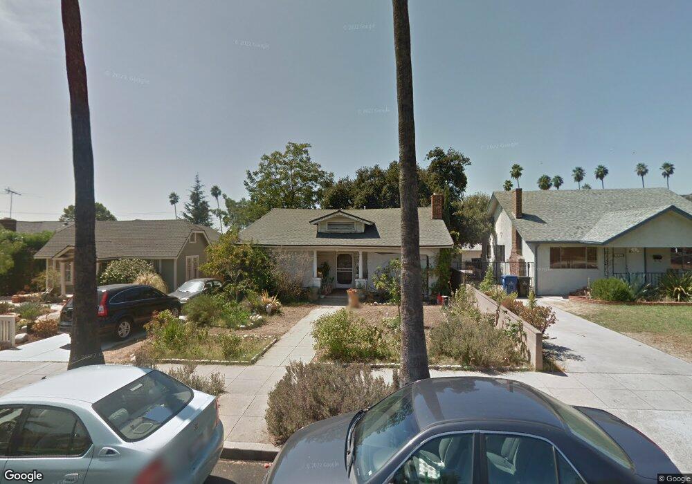
5139 Townsend Ave Los Angeles, CA 90041
Eagle Rock NeighborhoodEstimated Value: $1,203,347 - $1,562,000
3
Beds
1
Bath
1,224
Sq Ft
$1,140/Sq Ft
Est. Value
About This Home
This home is located at 5139 Townsend Ave, Los Angeles, CA 90041 and is currently estimated at $1,394,837, approximately $1,139 per square foot. 5139 Townsend Ave is a home located in Los Angeles County with nearby schools including Dahlia Heights Elementary, Eagle Rock High School, and PUC CALS Middle School and Early College High.
Ownership History
Date
Name
Owned For
Owner Type
Purchase Details
Closed on
Jan 11, 2007
Sold by
Boyle Andrea
Bought by
Boyle Daniel
Current Estimated Value
Home Financials for this Owner
Home Financials are based on the most recent Mortgage that was taken out on this home.
Original Mortgage
$390,000
Outstanding Balance
$266,842
Interest Rate
8.99%
Mortgage Type
Balloon
Estimated Equity
$1,127,995
Purchase Details
Closed on
May 19, 2005
Sold by
Boyle Tillie
Bought by
Boyle Daniel and Boyle Andrea
Purchase Details
Closed on
Jul 15, 1996
Sold by
Boyle James M
Bought by
Boyle Tillie
Create a Home Valuation Report for This Property
The Home Valuation Report is an in-depth analysis detailing your home's value as well as a comparison with similar homes in the area
Home Values in the Area
Average Home Value in this Area
Purchase History
| Date | Buyer | Sale Price | Title Company |
|---|---|---|---|
| Boyle Daniel | -- | Lawyers Title | |
| Boyle Daniel | -- | -- | |
| Boyle Tillie | -- | -- |
Source: Public Records
Mortgage History
| Date | Status | Borrower | Loan Amount |
|---|---|---|---|
| Open | Boyle Daniel | $390,000 |
Source: Public Records
Tax History Compared to Growth
Tax History
| Year | Tax Paid | Tax Assessment Tax Assessment Total Assessment is a certain percentage of the fair market value that is determined by local assessors to be the total taxable value of land and additions on the property. | Land | Improvement |
|---|---|---|---|---|
| 2025 | $5,264 | $424,131 | $336,852 | $87,279 |
| 2024 | $5,264 | $415,816 | $330,248 | $85,568 |
| 2023 | $5,165 | $407,664 | $323,773 | $83,891 |
| 2022 | $4,928 | $399,672 | $317,425 | $82,247 |
| 2021 | $4,866 | $391,836 | $311,201 | $80,635 |
| 2019 | $4,723 | $380,217 | $301,972 | $78,245 |
| 2018 | $4,680 | $372,762 | $296,051 | $76,711 |
| 2016 | $4,470 | $358,289 | $284,556 | $73,733 |
| 2015 | $4,407 | $352,908 | $280,282 | $72,626 |
| 2014 | $4,428 | $345,996 | $274,792 | $71,204 |
Source: Public Records
Map
Nearby Homes
- 5152 Vincent Ave
- 1515 Colorado Blvd
- 5130 Loleta Ave
- 5150 Argus Dr
- 4984 Vincent Ave
- 4989 Vincent Ave
- 1691 Hill Dr
- 4953 Mount Royal Dr
- 4934 La Roda Ave
- 4890 Floristan Ave
- 1325 Linda Rosa Ave
- 1440 Holbrook St
- 1832 Oak Tree Dr Unit 8
- 1832 Oak Tree Dr Unit 13
- 4879 Hartwick St
- 4868 La Roda Ave
- 1874 Chickasaw Ave
- 1871 Hill Dr
- 0 Maemurray Dr
- 2001 Hill Dr
- 5143 Townsend Ave
- 5133 Townsend Ave
- 5147 Townsend Ave
- 5129 Townsend Ave
- 5153 Townsend Ave
- 5123 Townsend Ave
- 5136 Vincent Ave
- 5132 Vincent Ave
- 5140 Vincent Ave
- 5124 Vincent Ave
- 5148 Vincent Ave
- 5136 Townsend Ave
- 5159 Townsend Ave
- 5117 Townsend Ave
- 5142 Townsend Ave
- 5132 Townsend Ave
- 5122 Vincent Ave
- 5146 Townsend Ave
- 5126 Townsend Ave
- 5152 Townsend Ave