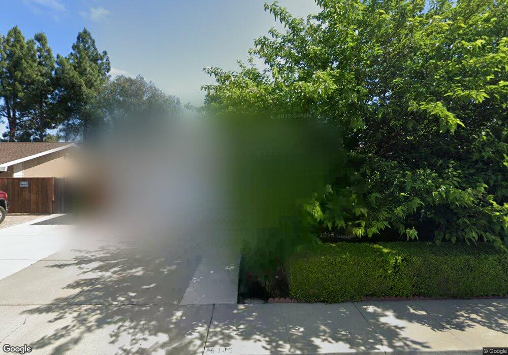
5145 Brookside Ln Concord, CA 94521
Midtown Concord NeighborhoodEstimated Value: $767,000 - $827,000
3
Beds
2
Baths
1,521
Sq Ft
$526/Sq Ft
Est. Value
About This Home
This home is located at 5145 Brookside Ln, Concord, CA 94521 and is currently estimated at $800,567, approximately $526 per square foot. 5145 Brookside Ln is a home located in Contra Costa County with nearby schools including Silverwood Elementary School, Pine Hollow Middle School, and College Park High School.
Ownership History
Date
Name
Owned For
Owner Type
Purchase Details
Closed on
Aug 13, 2024
Sold by
Ellis Clifton Lanier and Ellis Stephanie Pearl
Bought by
Ellis Family Trust and Ellis
Current Estimated Value
Purchase Details
Closed on
Jul 9, 1998
Sold by
Wong Reynold S
Bought by
Ellis Clifton Lanier and Ellis Stephanie P
Home Financials for this Owner
Home Financials are based on the most recent Mortgage that was taken out on this home.
Original Mortgage
$202,980
Interest Rate
7%
Mortgage Type
VA
Purchase Details
Closed on
Sep 23, 1993
Sold by
Wong Reynold S and Wong Nancy
Bought by
Wong Reynold S
Home Financials for this Owner
Home Financials are based on the most recent Mortgage that was taken out on this home.
Original Mortgage
$120,000
Interest Rate
7.1%
Mortgage Type
Purchase Money Mortgage
Create a Home Valuation Report for This Property
The Home Valuation Report is an in-depth analysis detailing your home's value as well as a comparison with similar homes in the area
Home Values in the Area
Average Home Value in this Area
Purchase History
| Date | Buyer | Sale Price | Title Company |
|---|---|---|---|
| Ellis Family Trust | -- | None Listed On Document | |
| Ellis Clifton Lanier | $199,000 | North American Title Co | |
| Wong Reynold S | -- | American Title Insurance Co |
Source: Public Records
Mortgage History
| Date | Status | Borrower | Loan Amount |
|---|---|---|---|
| Previous Owner | Ellis Clifton Lanier | $202,980 | |
| Previous Owner | Wong Reynold S | $120,000 |
Source: Public Records
Tax History
| Year | Tax Paid | Tax Assessment Tax Assessment Total Assessment is a certain percentage of the fair market value that is determined by local assessors to be the total taxable value of land and additions on the property. | Land | Improvement |
|---|---|---|---|---|
| 2025 | $4,377 | $311,950 | $115,917 | $196,033 |
| 2024 | $4,156 | $305,835 | $113,645 | $192,190 |
| 2023 | $4,156 | $299,839 | $111,417 | $188,422 |
| 2022 | $4,084 | $293,961 | $109,233 | $184,728 |
| 2021 | $3,970 | $288,198 | $107,092 | $181,106 |
| 2019 | $3,883 | $279,651 | $103,916 | $175,735 |
| 2018 | $3,727 | $274,169 | $101,879 | $172,290 |
| 2017 | $3,591 | $268,794 | $99,882 | $168,912 |
| 2016 | $3,473 | $263,524 | $97,924 | $165,600 |
| 2015 | $3,412 | $259,567 | $96,454 | $163,113 |
| 2014 | $3,333 | $254,483 | $94,565 | $159,918 |
Source: Public Records
Map
Nearby Homes
- 5150 Brookside Ln
- 5091 Saint Celestine Ct
- 5179 Paul Scarlet Dr
- 5060 Valley Crest Dr Unit 56
- 5050 Valley Crest Dr Unit 63
- 5055 Valley Crest Dr Unit 196
- 1531 Garcez Dr
- 5070 Bonwell Dr
- 1560 Ayers Rd
- 5025 Valley Crest Dr Unit 147
- 5017 Murchio Dr
- 1520 Schenone Ct Unit 15
- 1395 Kenwal Rd Unit A
- 5333 Park Highlands Blvd Unit 27
- 1175 Kenwal Rd Unit B
- 1195 Kenwal Rd Unit B
- 1120 Kenwal Rd Unit C
- 5434 Roundtree Ct Unit A
- 5451 Roundtree Place
- 1590 Laverne Way
- 5151 Brookside Ln
- 5139 Brookside Ln
- 5144 Brookside Ln
- 5157 Brookside Ln
- 5138 Brookside Ln
- 5156 Brookside Ln
- 5131 Brookside Ct
- 5163 Brookside Ln
- 5145 Greenmeadow Dr
- 5132 Brookside Ct
- 5151 Greenmeadow Dr
- 5139 Greenmeadow Dr
- 5162 Brookside Ln
- 5157 Greenmeadow Dr
- 5125 Brookside Ct
- 5133 Greenmeadow Dr
- 5126 Brookside Ct
- 5168 Brookside Ln
- 5163 Greenmeadow Dr
- 5175 Brookside Ln
Your Personal Tour Guide
Ask me questions while you tour the home.