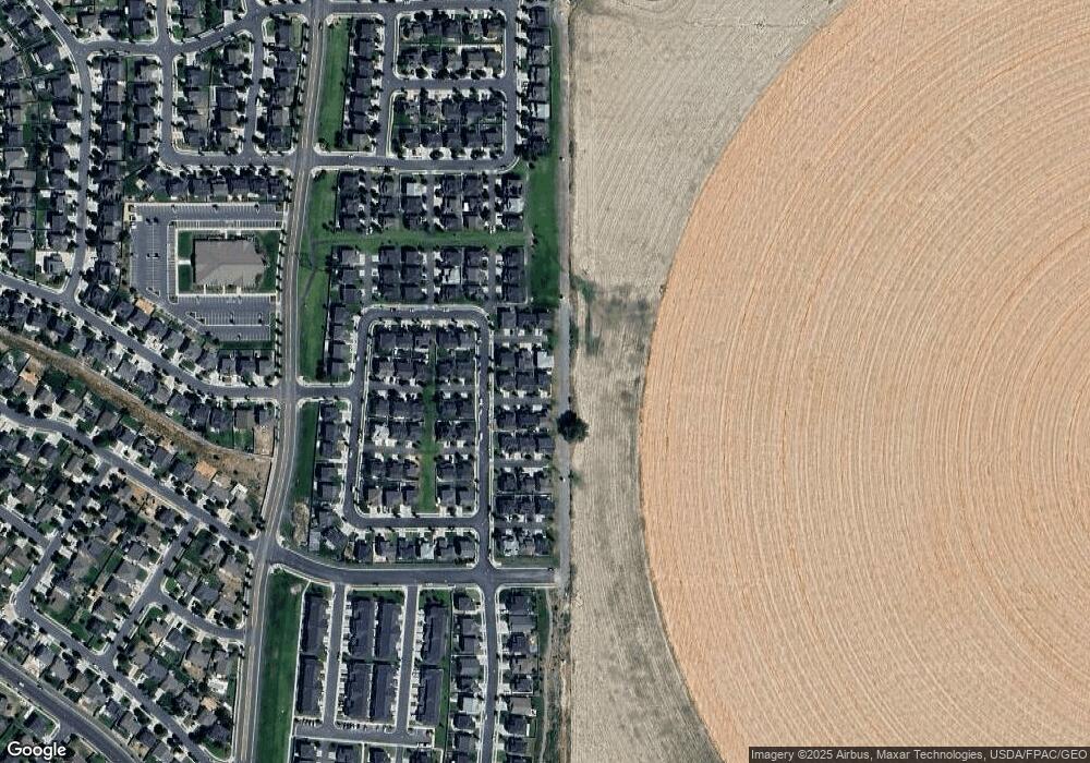
5177 Moab Rim Ct Eagle Mountain, UT 84005
Estimated Value: $485,470 - $525,000
3
Beds
4
Baths
1,541
Sq Ft
$324/Sq Ft
Est. Value
About This Home
This home is located at 5177 Moab Rim Ct, Eagle Mountain, UT 84005 and is currently estimated at $499,618, approximately $324 per square foot. 5177 Moab Rim Ct is a home located in Utah County with nearby schools including Silver Lake Elementary School, Vista Heights Middle School, and Westlake High School.
Ownership History
Date
Name
Owned For
Owner Type
Purchase Details
Closed on
Jun 27, 2019
Sold by
Antoine Makolson
Bought by
Bruno Rand
Current Estimated Value
Home Financials for this Owner
Home Financials are based on the most recent Mortgage that was taken out on this home.
Original Mortgage
$334,650
Outstanding Balance
$294,259
Interest Rate
4%
Mortgage Type
New Conventional
Estimated Equity
$205,359
Purchase Details
Closed on
Sep 21, 2017
Sold by
Building Construction Partners Llc
Bought by
Antoine Makolson
Home Financials for this Owner
Home Financials are based on the most recent Mortgage that was taken out on this home.
Original Mortgage
$260,597
Interest Rate
3.9%
Mortgage Type
New Conventional
Purchase Details
Closed on
Nov 26, 2016
Sold by
Fildstone Siloverrlake Llc
Bought by
Rockrss Development Inc
Create a Home Valuation Report for This Property
The Home Valuation Report is an in-depth analysis detailing your home's value as well as a comparison with similar homes in the area
Home Values in the Area
Average Home Value in this Area
Purchase History
| Date | Buyer | Sale Price | Title Company |
|---|---|---|---|
| Bruno Rand | -- | Metro National Title | |
| Antoine Makolson | -- | None Available | |
| Rockrss Development Inc | -- | Bartlett Title Ins Agency |
Source: Public Records
Mortgage History
| Date | Status | Borrower | Loan Amount |
|---|---|---|---|
| Open | Bruno Rand | $334,650 | |
| Previous Owner | Antoine Makolson | $260,597 |
Source: Public Records
Tax History
| Year | Tax Paid | Tax Assessment Tax Assessment Total Assessment is a certain percentage of the fair market value that is determined by local assessors to be the total taxable value of land and additions on the property. | Land | Improvement |
|---|---|---|---|---|
| 2025 | $2,217 | $263,230 | -- | -- |
| 2024 | $2,217 | $239,580 | $0 | $0 |
| 2023 | $2,123 | $247,720 | $0 | $0 |
| 2022 | $2,302 | $262,405 | $0 | $0 |
| 2021 | $2,046 | $350,100 | $87,000 | $263,100 |
| 2020 | $1,948 | $325,300 | $80,600 | $244,700 |
| 2019 | $1,506 | $260,500 | $77,700 | $182,800 |
| 2018 | $1,441 | $235,900 | $70,600 | $165,300 |
| 2017 | $648 | $57,100 | $0 | $0 |
Source: Public Records
Map
Nearby Homes
- 7845 N Santa Clara Dr
- 7410 N Cottage Ln
- 7559 N Levi Ln
- 7692 N Decrescendo Dr
- 7531 N Levi Ln
- 7875 N Brookwood Dr
- 92 N Midland Dr
- 4901 E Silver Ridge Rd
- 82 N Independence Way
- 1526 W Stone Gate Dr
- 1408 W Quailhill Rd
- 7268 N Hidden Steppe Bend
- 68 Granite Park Dr
- 4609 E Silver Creek Way
- 7211 N Clover Leaf Ln
- 7152 N Brook Ridge
- 7267 N Hidden Loop Rd Unit 2859
- 7185 N Hidden Steppe Bend
- 7881 N Cedar Crest Dr
- 4758 Hidden Loop Rd
- 5177 E Moab Rim Ct
- 5167 E Moab Rim Ct Unit 1309
- 5178 E Moonlight Ln
- 5168 E Moonlight Ln
- 5176 E Moab Rim Ct
- 5157 E Moab Rim Ct
- 5166 E Moab Rim Ct
- 5166 E Moab Rim Ct
- 5166 E Moab Rim Ct Unit 1312
- 5158 E Moonlight Ln
- 5156 E Moab Rim Ct
- 5175 E Rio Grande Way
- 5165 E Rio Grande Way
- 5179 E Moonlight Ln
- 5169 E Moonlight Ln
- 5155 E Rio Grande Way
- 5159 E Moonlight Ln
- 5133 E Sand Flats Way Unit 1357
- 5136 E Sand Flats Way
- 5136 E Sand Flats Way Unit 1354
